I honestly don’t understand that.
“man_made=embankment should be added to a way drawn with the lower side on right side of the way’s direction.” Klang für mich immer eindeutig nach der oberen Kante.
… an there ist no lower side!
and in the middle of the slope there is not only a lower side, but also a higher side. So it can’t be visible either.
Misapplied mapping/tagging should not be the basis for making the description in the wiki even more complicated and confusing. It should rather be a reason to make the description in the wiki clearer and more concrete. Incorrect application must also be clearly described as incorrect.
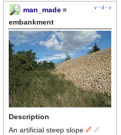
Btw. I don’t like the edits to the OSM wiki on man_made=embankment that have been made this month. They are too detailed, cause confusion and I think one thing or another is not described correctly.
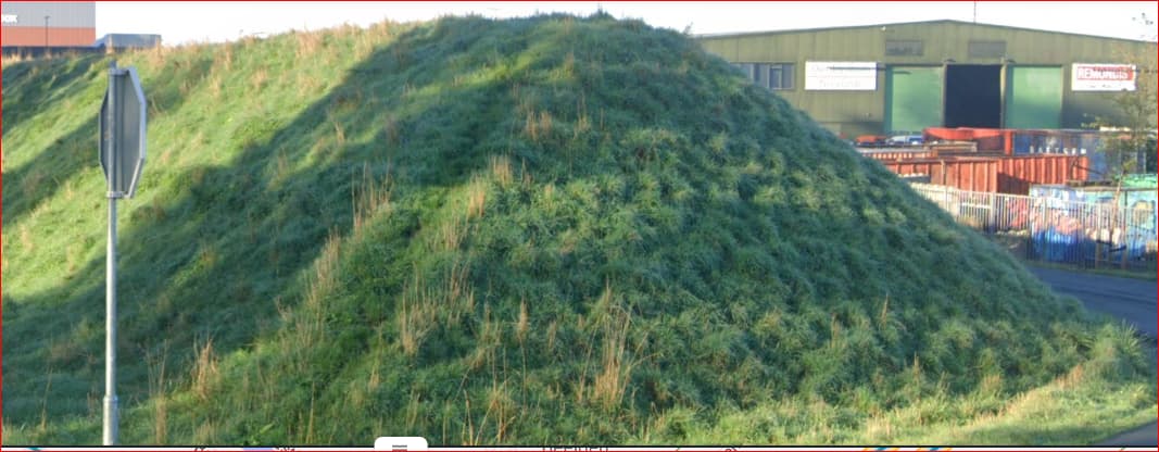
A berm is not exclusively
The extent of horizontal ground between the watercourse or coast and a raised feature.
A berm can also be halfway up a slope. Berm is also a word with many different meanings. And probably different in the Netherlands than in the UK or Germany.
The German Wikipedia says:
A berm is a horizontal piece or ledge in the embankment of a dam, rampart, excavation, quarry or on a slope. It divides the slope into two or more sections. A berm is designed to reduce the earth pressure on the base of the slope. An embankment with a steep slope and berms is more stable than a continuous embankment without berms. Slope failure is thus avoided.
next point
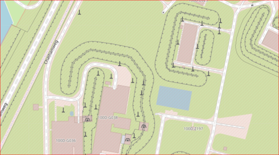
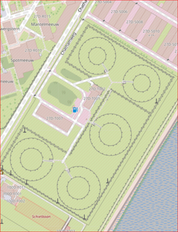
the word used in the OSM-value for man_made=embankment typically refers to the embankment as a whole (sloping parts and the crest), but the focus in the descriptions and images used focus on the sloping part
embankment=yes on a highway or railway refers to the crown - yes.
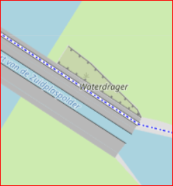
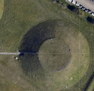
As far as I can remember, man_made=embankment always referred to the edge between the crest and the slope. The rendering also follows from this: a line and markings (triangles, semicircles, small lines at right angles …) on the sloping side. Comparable representations can also be found on historical maps.
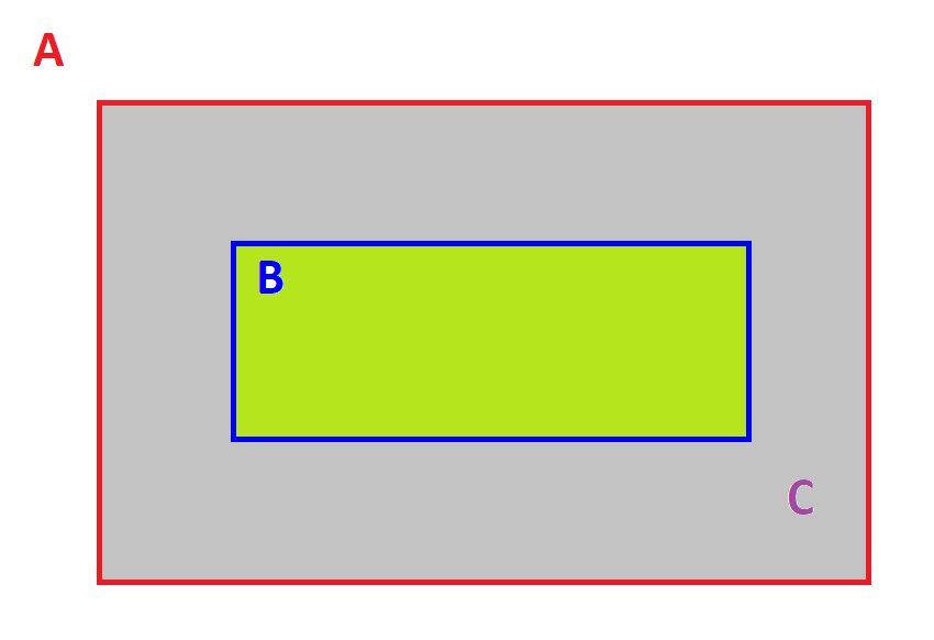
- the instructions in “How to map” refer to a line with a with a high side and a low side, without making explicit if this is (a) the toe at the base of the slope (“face”) ; (b) the crest at the top of the slope or (c) both ;
That was never misleading for me. It must - for me always - be b). Since the rendering is comparable to natural=cliff, you can compare it with the description there:
If the cliff is not perfectly vertical the way should be located on the top edge.
If the previous wiki was misleading, it should be clarified as with natural=cliff.
however a well defined tagging scheme for describing the different elements of an embankment and their relations is not yet available. For the area of the slopes the non-documented tag man_made=reinforced_slope is sometimes used (Taginfo) but this is not explicit in the direction of the slope
That is correct. So back to what Peter wants: a simple tag marking the bottom of a slope.
KISS - Keep it simple, stupid!
Can be used for all kinds of embankments, dykes etc. Easily recognisable by the mapper in most cases, without the need for a mapper to have expertise in dyke construction, embankment construction, dam construction. Without knowledge of technical terms.
