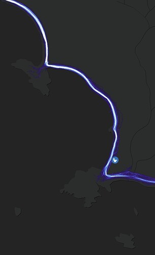
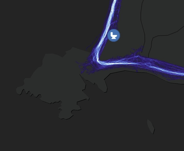
tl;dr, there can be real world impacts from showing paths where there are none, ranging from environmental impact to personal safety. If it makes sense to have a fictional one for routing, have some sort of tag for it along the lines of pathless_for_routing or fictional_for_routing.
I’m sure a better name exists. ![]()
Overview
I had some questions on an area with a lot of issues in the US trails slack channel, and amongst practical advice we got into a little bit of philosophy and there was a great suggestion I didn’t think about. I’ll include anonymous quotes from others as well as my own comments and let them know this is here so they can contribute.
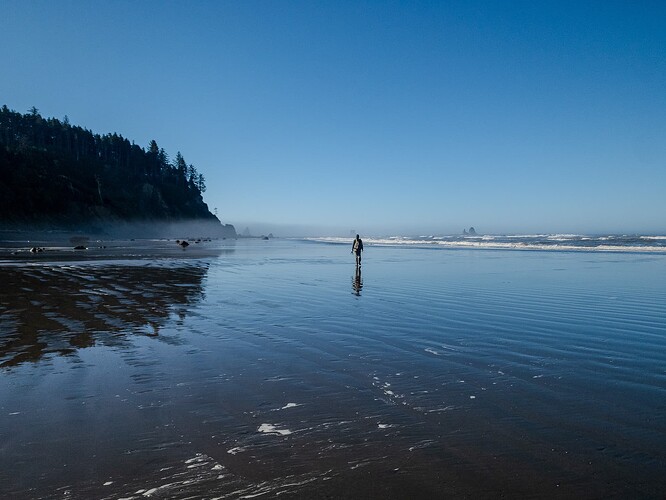
There are the routes in question - they are mostly pathless, but occasionally have semi-maintained official paths where headlands are either temporarily or permanently impassible.
There is also a long distance thru-hiking trail that goes along parts of these routes.
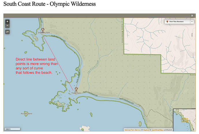
The really high level trip planner national parks trail map shows the “route” along the beach, but only had dashed lines for trails for the proper overland trails. This matches how they are treated in USGS maps as well as the current maps endorsed by the park service and sold at their visitor center (someone put a scan of one online, note this violates copyright).
Conversation elsewhere edited for clarity
Comments not by me are in blockquotes.
One of the core principles of OSM that I really like is that of ground truth - it keeps things simple. However “ease of creating a route between two points” can supersede that.
It seems weird to have a set line for a path in a spot like the above. Some kind of node at either end of the beach that are related then a “figure it out yourself” feels more appropriate with more nodes whenever there is a little headland or whatever that could cause issues.
Yeah, I agree with you about ground truth. The example image you shared (the one with the flat expanse of wet beach sand) clearly has no physical path on the ground, so mapping one feels like fiction. OTOH, routers won’t be able to connect the dots (literally) between a trail that ends at the south end of a beach and another one that starts again at the north end of the same beach. So without a fictitious highway=path along the beach, things like measuring distance of the route in a hiking app probably won’t work.
This is an unusual and really clearcut instance of a pathless but nonetheless well-traveled route, so maybe it’s a good case study for coming up with a better way to tag such cases. Maybe we need a tag for highways that are fictitious and only serve to help routers? A tag like that could also be used in pedestrian plazas which are often criss-crossed in OSM by fictitious highway=footway ways whose only purpose is to allow naive routers to route across the space. Or maybe these beach segments of the route really ought to just be mapped as a pair of nodes and a route relation? I’m unfamiliar with the tagging conventions for pathless point-to-point routes but as you already mentioned earlier, other mappers have explored tagging these in the past. This puts the burden on routing software to handle such node-to-node routes if it’s a use case they care about.
[…]
You do have a lot of people that just stare at GPX tracks these days and assume they have to follow them
This is definitely valid, and something that I hear a lot from land managers that I talk to. Most people assume the map on their phone is correct and accurate, and they will go to great lengths to “put the blue dot on the dashed line”, in the process trampling vegetation or putting themselves in physical danger.
None of the official maps (or ones recommended by NPS etc) for this route show paths on the beach.
That’s an interesting data point. It implies to me that NPS considers these on-beach routes to be a distinct type of thing from other nearby trails (I assume because they are pathless).
[…]
The route can be fatal if you don’t pay attention to tides and tidal restrictions. Likewise there is often many ways to do something that isn’t a hard overland bypass trail.
A common but made up example of a spot: at 2-4 feet you can walk below some rocks on sand, at 5-6 feet you can walk between them on some rougher terrain, at 6+ feet you either need to wait or take an overland bypass if there is one. Trying to come up with a proper difficulty rating would be problematic for routeless routes like this, as at low tide it’s T1, but at higher tides it’s often at least T2-T3 up on rocks above where the sand is.
Things also change not just season to season but after storms more than most terrain - a landslide can cause a 3 foot restriction, sand can fill in or get washed out, trees can get washed up, etc. Some of that can get mapped, but most of it not, or at not it in a timely manner.
PS, insightful side comment from someone
This brings up a minor nitpick on the definition of trail_visiblity – beaches and meadows are “pathless” but “orientation unproblematic”, so don’t fit any of the categories in the wiki.
PPS, some trolling 
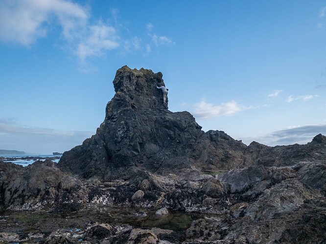
Or we just say that because it’s not in the mountains or alpine it’s all T1 as some of the more hardcore europeans advocate for. That stance makes something like this which starts a few meters above sea level (and is inaccessible except at low tide) odd. I -think- it should be T5, it felt like very easy Class 4.
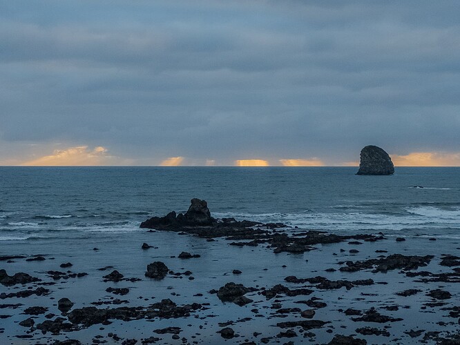
That seastack an hour and a half later as the tide was coming in:
