The first link appears to be for an ArcGIS REST endpoint, and the second is for KML which I don’t think JOSM can use.
Would anyone have any ideas for how I can use this aerial imagery in JOSM? Is there a way to modify the URL’s to probe for a hidden WMS endpoint? Could I somehow export the entire tileset to import into JOSM locally?
The imagery can be used like a WMS with JOSM using the “Export Image” function: https://geoservices.mapleridge.ca/image/rest/services/Orthoimagery/2023_7_5cm/ImageServer/exportImage?f=image&bbox={bbox}&bboxSR={wkid}&imageSR={wkid}&size={width},{height}&format=jpgpng
Oh my god… I’ve been trying to figure this out for so long. For my future reference, how did you know to use that specific link, and how did you know the exact way to format it?
EDIT: Ah, this appears to be due to the “Tile Size” setting in WMS settings being to small (512). I increased it to 2000 and it seems to match the source now.
Yes. It has to do with the “default” max zoom level. IIRC, it is 20. The max zoom for the online version is probably 21 or 22.
I would recommend (if the source allows it) that you add the necessary information to Maps/Canada – JOSM so that other people can use the source. This will let you set the maximum zoom level, the minimum zoom level, and so on. Read https://josm.openstreetmap.de/wiki/Maps for the various options and what they do.
As @vorpalblade-kaart has already pointed out, this is probably due to the max zoom level. The desired max zoom level can be specified at the beginning of the URL in JOSM: wms[22]:https://geoservices.mapleridge.ca/image/rest/services/Orthoimagery/2023_7_5cm/ImageServer/exportImage?f=image&bbox={bbox}&bboxSR={wkid}&imageSR={wkid}&size={width},{height}&format=jpgpng
Where would I find the information needed to confirm this? Also, why does increasing the tile size appear to fix the issue if it has to do with the max zoom level?
If the same number of pixels is requested for a smaller area on the ground (= higher zoom, smaller bbox), then the physical resolution increases.
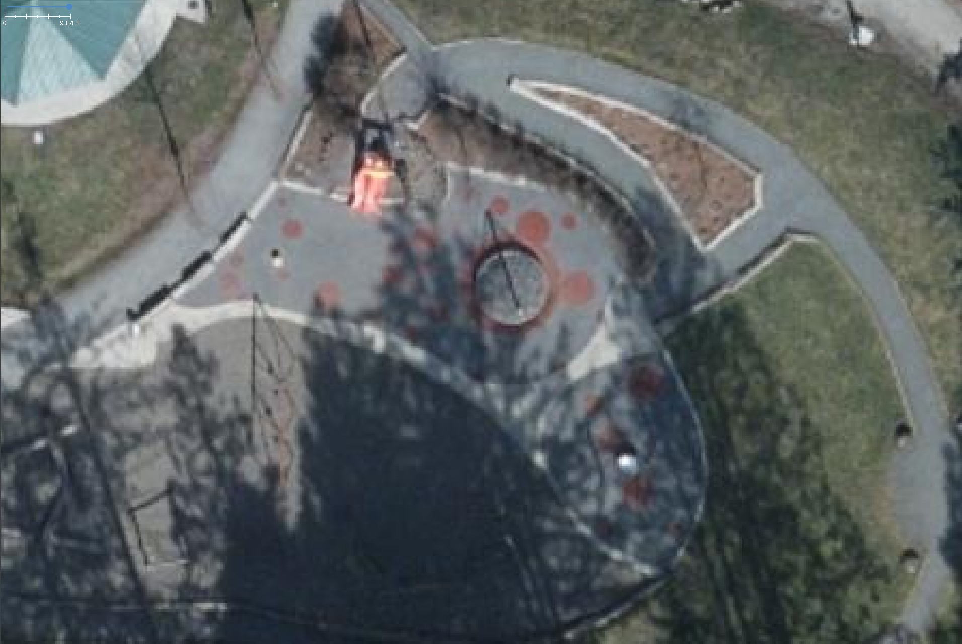
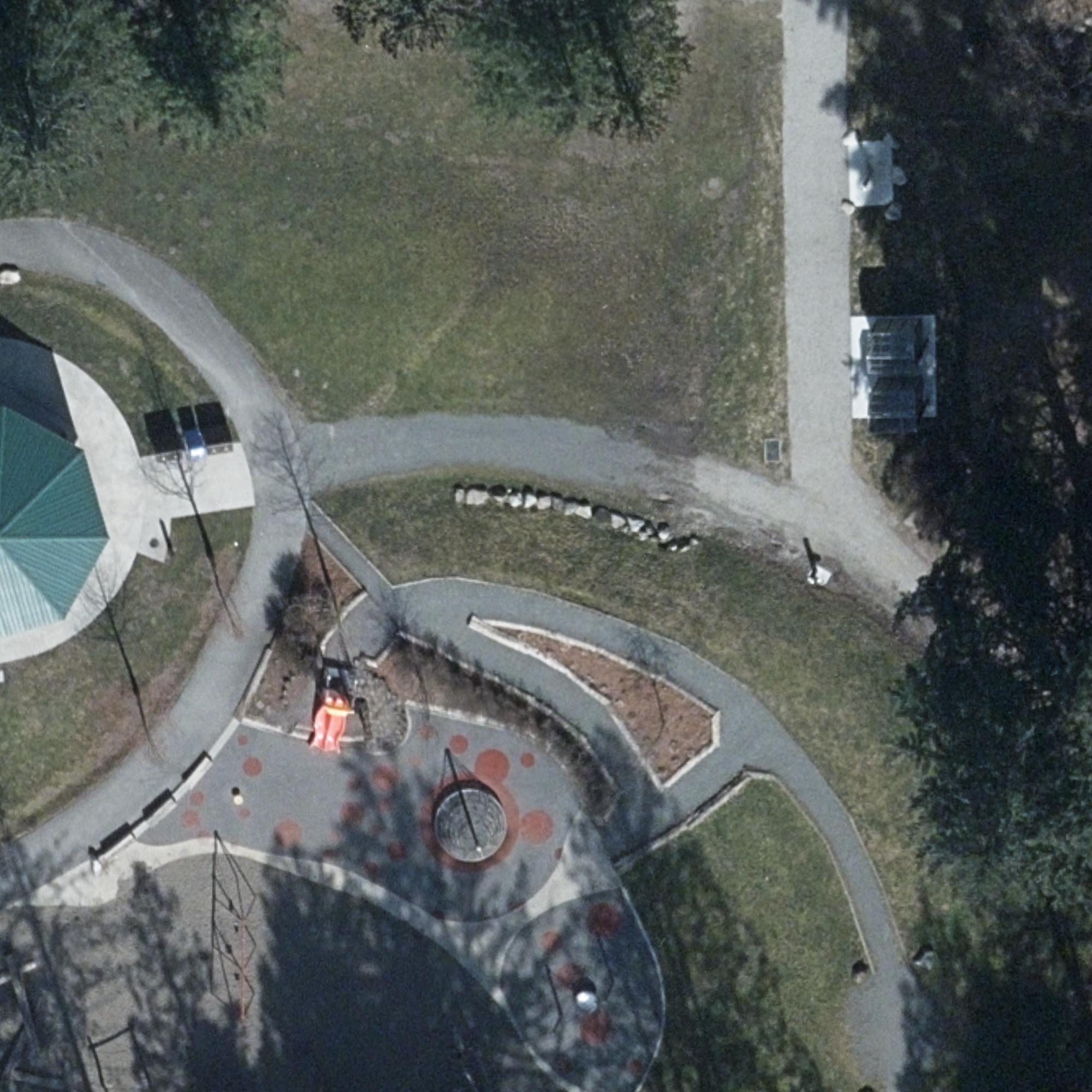
Example of your area above:


