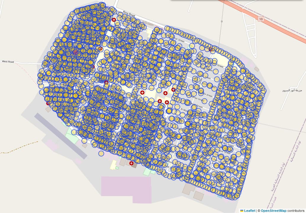
In Jordan, there is a refugee site/camp called " Zaatari" or " مخيم الزعتري" in arabian, see here for OSM view and here for wikipedia. There are a lot of undocumented tags used, that got included into OSM many years ago. There are nodes like this. The undocumented tags in use include GPS_accuracy_meters=*, LAT=*, LON=*, block=*, district=* and street=*. There are nearly 3000 objects using at least one of these tags. And there are probably more tags with potential problems.
The project of mapping this refugee site is more or less documented here. The problem with the low quality of the data got already meantioned here.
I already tried to reach out to several users involved (amckenna_REACH, REACH_zaatari, Unhcr-jordan). I also just posted a notice on this talk page. According to this thread, you @Jagoda could maybe help here. Unfortunatly a lot of the people who were involved seem to be inactive for years.
I would like to fix this area. As I do not want to guess solutions I am now reaching out to a broader audience here. Is there anyone who can help me with this clean up?
Wow, nearly 10 years of inactivity and now an answer within not even half an hour! I defenatly didn’t expact this. Thank’s a lot for answering!
Can you explain the above meantined tags? Lets start with one of them: street=*:
There are objects like this with street=Al_Muroua_Street near a raod with name=Al Murou'a Street. Beside the underscores and the apostrophy they fit well together. Probably street=* should be addr:street=*. Can you confirm this? What spelling is correct? Muroua or Murou'a?
There are objects like this with street=street_11. What does this mean?
We did all camp mapping with REACH in 2014 as part of wider project but then it wasn’t regularly maintained probably.
The camp was set up as tented settlement and then various infrastructure and houses were gradually added, so the address system was also developed in stages. “Street 11” was the name of a street as all alleys were initially just numbered and at later stage some of them got names.
Murou’a and Muroua is the same thing, it’s just added accent in transliteration from Arabic.
There should be available pdf maps of camp from that time to check details, but also let me see if I can find information about current structure and address system to see whenever there were substantial changes since 2014.
Thank you for the clarification. So all the street=street_... are basically just outdated values for addr:street=*. And maybe it should be name:en=Al Murou'a Street, if it is a translation and name=Original_Arabic_name.
If you could find recent maps from the area that are licensed in an OSM-compatible way, that would be great!
I found this wiki page about data from the UNHCR. I am not sure if I understand the “permission” column of the table right. Do we have general permission to use UNHCR data in OSM? I also asked this question to a user who seems to be involved into the meantined wiki page.