OK, I’ve done my little tour. Done what I wanted to do, seen what I wanted to see.
I will show you in photos why I think that adding the paths is useful. It is 21st century and we all use phones. A digital map and a GPS are not 100% reliable but are better than nothing. Grassy areas don’t have stones for cairns. Besides, in a fog, even having them is next to useless.
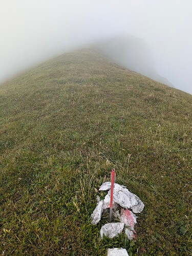
Here is me, trying to “follow the terrain”, as recommended by OP.
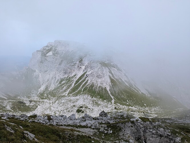
Cliffs are on both sides, on the way to Hinterer Polster.
Finding the correct route up is also lots of fun:
Trying to find a climbable slope was only possible when the fog cleared for a bit. Having a path on the map would have been indispensable.
Btw, in the area between Griesstein and Ebenstein, where some claim there is nothing, I found about a dozen cairns. Will sort out the photos and videos in the coming days.
I disagree on the principle here. The purpose of a map, for me, is to show the way, just like any other marker on a tree or a stone. It’s 21st century. Why should we not use the media that we have?
I also understand what you are saying (to a degree) but really feel there needs to be a way to say “there is a safe passage here” on a map. This needs to be raised at a higher level and is a reason why the “Path controversy” even exists.
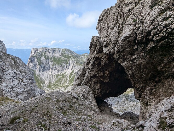
And here’s absolutely the most magnificent point of the route, just for the sake of it.
Edit: to clarify the purpose of a map, I’d use the term “treasure map”. It shows a path to the treasure, which is not obvious.
Edit 2: There are tags on a path to clarify that it is not always visible on the ground. But that does not mean that the path is not there. I find it worse to have paths on Hochschwab that simply end nowhere, without connection or a meaningful destination. Obviously, whoever created the visible line before that point, was going somewhere. The path does not end there, even though the visible part of it does.


