Actually, I’d suggest that neither that , nor the converse of it, is true.
OSM has to find a way to represent things so that:
everyone (including people not from Kansas) know what something is.
it’s clear to everyone where you can and can’t legally go - typically by access tags and the plethora “you must use this way if you can” tags.
Most or all countries have issues like this with OSM tagging. To pick an example, in England and Wales we have a legal concept of a “public bridleway”. Many of those would never be described in OSM (or normal human) terms as a “bridleway”, so we use a “designation” tag for them, so we can say “on the ground it looks like X, but the legal definition is to treat it as Y”.
exactly, and in that context one standard does not fit all
things are going to be more than a bit messy
there’s bridleways in the US. I hike in a park which everything started out as horse trails. but the newest trails are zero horses and are bike paths.
they all look the same so the signage defines what is what. and they’re all foot paths
but tags don’t really work for that. cycle + foot works but there’s no bridle + foot. visually there’s no distinction even in OSM between a bridle + foot path using tags and one without foot.
and what if there’s a demand path for foot and one for horses and they’re so close as to not be unique paths?
go to the west highland way, there’s sections the trail is braided to a degree but it’s not two paths. it’s like that only by user type on many horse trails where foot is parallel and distinct
maybe that’s the term, there’s a lot of braided roads and having multiple lines sometimes makes more sense than tags because it shows reality better
OSM could use a standard for braided routing, enable the ecosystem to better show this on maps
The paths on the lakeshore trail in Chicago is a great example. so many cases where they come together and split apart but they’re two distinct routes. so many bike paths are braided, shifting between physical separation and not but remains a distinct route from end to end
note that OSM Carto (map style you see by default at osm.org) is not sole and only way to view OSM data
maybe this map style does not have support for showing horse-bicycle / horse-foot / horse-foot-bicycle trails but OSM tagging schema has support for them
do you mean mapping horse-foot-bicycle trail as three lines, once as horse trail, once as bicycle trail and once as footway trail?
You talk about standards, but the approach you’re taking is at odds with the approach taken by most OSM mappers, the bulk of data in OSM about the U.S., and all the documentation we use. FHWA sets standards for road builders, not cartographers and certainly not private-sector volunteer cartographers. We often look to their standards as an informative guide, but ultimately technical decisions are ours to make. USDOT officially partners with our U.S. community for certain purposes, so it’s not like we’re on their naughty list over our penchant for naming tags according to British English or devising a fairly unique overall approach to GIS.
As long as the “boundary” between the bikeway and roadway is permeable and the bikeway’s geometry doesn’t differ significantly from the roadway, the portions that don’t go up onto the sidepath should be bundled with the roadway in the database. This undoubtedly differs from how some other systems represent the bikeway; consider it a consequence of us needing to accommodate a variety of use cases in the same dataset.
If your goal is to replicate MARC’s official bikeway map, the least you could do is switch from the Standard layer to a cycling-oriented layer using the right sidebar on our homepage. You’ll notice that it’s capable of highlighting a bike lane even if it isn’t drawn as a separate way.
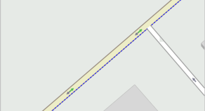
There’s no need to break out cycleways which are just a lane of the main road as data consumers have long figured out how to still show it even on maps. An example of a oneway street, but bus and bikes are allowed to ride it also in the opposite direction. An exaggerated zoom to make the dotted blue line of the cycleway:left=lane + oneway:bicycle=no visible.
Here is a map I make from OSM that shows only cyclist infra. The cycle lanes (dotted green) are clearly shown even if they are tagged on the highway line. They join the kerb-separated, unidirectional cycleways (solid orange) that go behind bus stops and the like (and therefore require their own geometry).
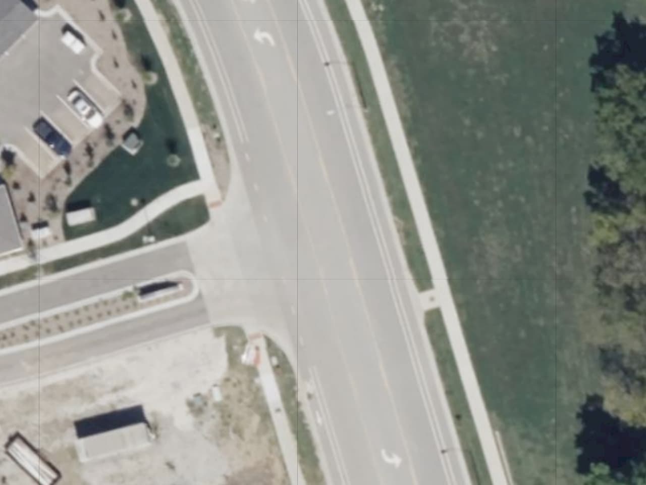
Like I said before, that’s the shoulder and should not be mapped as a sidewalk in OSM – even if people use it to walk on because there is no sidewalk. People regularly walk on roads because there is no sidewalk. We don’t map sidewalks on those roads.
The \ are only painted on a very short stretch – 99% of the bike lane is just a (double) solid line.
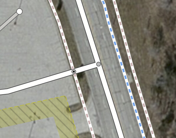
In all fairness. that’s because there’s a missing connection to the cycleway. This would be true even if the cycleway was genuinely separated, like the sidewalk.
Right, mapping the bike lane as a separate way would force us to map a virtual connection at each intersection. Since this street has a center turn lane, the cyclist would be allowed to depart from the bike lane to make a left turn at any location along the street. (It would be pointless in the absence of any abutters, but the potential is there.) In other words, the boundary between the bike lane and the rest of the roadway is permeable, so current mapping standards don’t support mapping a separate way for it.
I can tell you how I use the sidewalk tag, as I operate a site that depends on that tag for its processing.
What I need to know, as a data consumer, is:
Can a user run/walk/jog on this road?
“On” is doing a lot of heavy lifting here. But in essence, I want to know if it is possible for a user to be a pedestrian in any of these contexts:
Along the roadway itself
On a sidewalk/pavement next to the roadway
In the shoulder
In the verge
I check a number of tags to make that determination. sidewalk is a pretty important one. If sidewalk=yes or sidewalk=separate are set (or any of the :left:right:both versions), I consider that a pedestrian-accessible street.
My site is not a pedestrian router. I do not care whether the user is on the road or next to it. All I do is to record whether the user is near the road, using the admittedly arbitrary radius of 25 meters to make that check.
For these reasons, please keep using the sidewalk tag, and its variants, to tell data consumers that a sidewalk is present!
I wish… we’d all adopt the tagging scheme of * :side=* (lane/separate)for tagging on the main road and then extend that with * :side:surface/lit/colour etc =* . The schema is I think defined for street_side/lane parking, cycleways, sidewalks but I keep on seeing shortcuts… sidewalk=both/no and so on. Let’s drop the shortcuts, as sidewalk:both=yes does not tell me a hoot about whether each is separate, one is separate, the other lane.
Borrowed it from that forbidden party as it was quicker than searching my cycleroutes with the picture 10 meters back that also shows the parking:left:restriction=no_stopping sign with a fresh asphalt/paint job of the street. Observe the walker symbol and the solid white line one is not allowed to tresspass in a vehicle.
Note the full out notation per latest approved parking in the street schema… a JOSM parking style fully visualizes all states of parking, here no_stopping is shown as a series of redish squares).
Edit: I’m not the only one, about 650 entries of right/left=lane, and by extension consistent with parking and cycleway notation, The sidewalk wiki going by the ‘what would Sherlock say’, ‘yes’ … yes what?
Edit2: One more for the road… markings here are done with water colour paint… they last a year or two, so the road marking company can paint them again, on our tax Euros. The traffic signs are very very durable in case of time fades away paint… ;o)
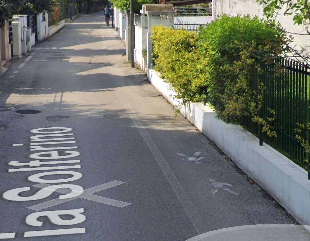
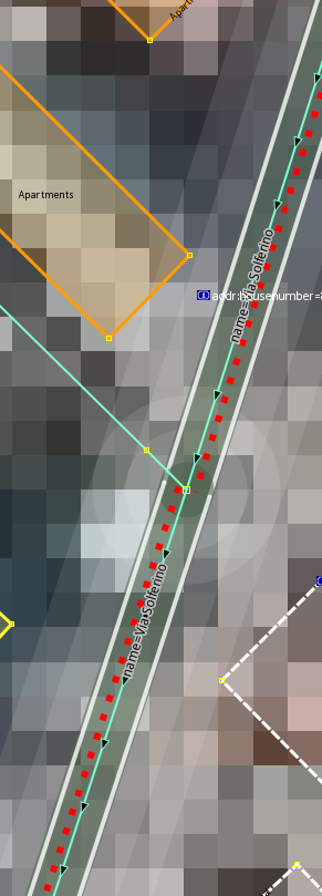
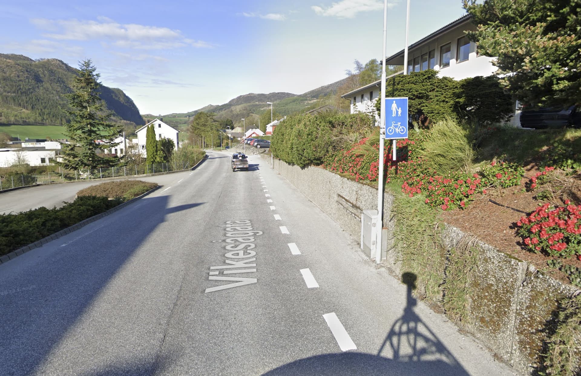
Ah, yes. We have those too. But since they are signed, we draw them as footways or combined foot- and cycleways. If there’s a sign, we don’t map it as a sidewalk.
And neither do we map them as a path or a footway since they’re physically one with the road, no impediments at all, worse in your example with the dashed line, infraction by 4 wheeled vehicles with engine permitted. Scary.
The traffic rules are different here. Dashed or solid makes no difference in this context.
I was terribly confused after reading the terms “advisory cycle lane” and “mandatory cycle lane”. That there could be a worse type of cycle lane was completely unknown to me.