note that definitions are often divergent between areas and sometimes official authorities clearly lie about reality
for example we are not taking Pakistan claims about where Pakistan is as being more important than on the ground situation
we are mapping buildings and neighborhoods that are officially not existing
we are also not mapping forests that are officially existing but were illegally logged and cut down
if city claims that they built road/cycleway/bridge and it is in fact not existing, it should not be mapped as existing
if country claims that they have not built road/cycleway/bridge/military base and it is in fact existing, it can be mapped as existing (disclaimer: this may be illegal as defined by some authorities and you may prefer to not do that if within their reach, for example I am not travelling to North Korea any time soon)
if city claims they build park but they in fact built a parking lot, a parking lot should be mapped
if city reclassified concrete parking lot as a forest it is still not a forest
official data is routinely wrong or conflicting with other official data
that makes sense
that makes sense
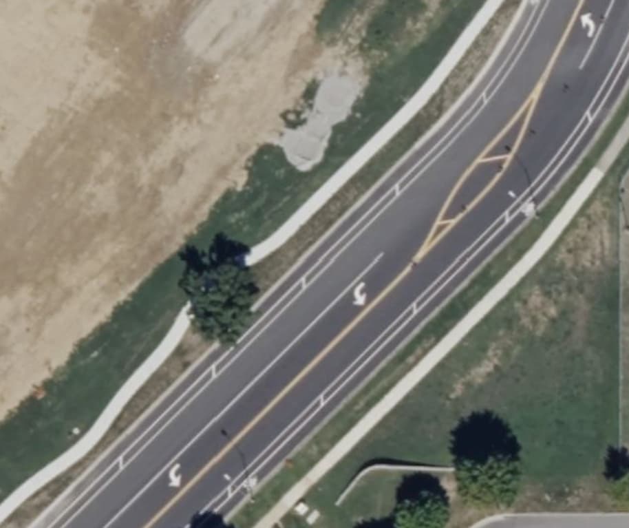
and it is mappable, likely with Key:cycleway:right - OpenStreetMap Wiki and/or Key:cycleway:left - OpenStreetMap Wiki tags
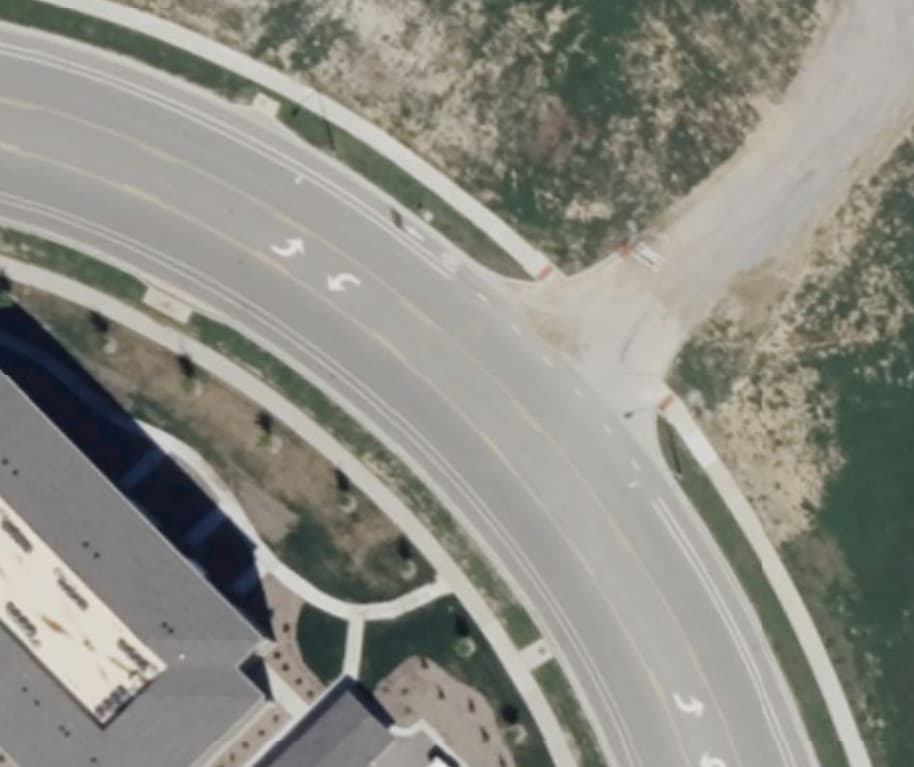
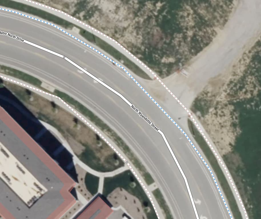
actually Way: North Wyandotte Street (514326746) | OpenStreetMap already has cycleway=lane
But it should not be mapped as a separated cycleway, as it is a bicycle lane rather than a separated cycleway. This is a relatively agreed on thing in OSM mapping, so I would advise you to familiarize it with it before rewriting OSM wiki.
people are free to make own maps from OSM data, showing data however they want - including prominent display of cycleway lanes
for example OpenStreetMap map style shows cycleway=lane tag as blue lines
see also Tagging for the renderer - OpenStreetMap Wiki