I’m writing a guide for outdoor enthusiasts in my region on how to contribute to OpenStreetMap (OSM).
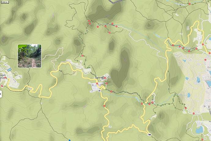
In addition to uploading GPS traces, I want to encourage people to upload trail photos online. These photos can help identify trail conditions, similar to how Google Street View allows single 360 photos uploads or the premium Trail View feature in Komoot.
Some people already upload their pictures to various online services, but images lose their GPS data during conversion and are usually mapped to some proprietary API.
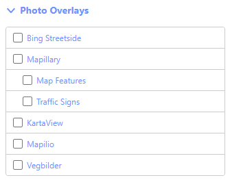
Street-imagery mobile apps like Mapillary, Kartaview, and Mapilio require using their specific UI functions to record sequences, which might not appeal to hikers or OHV riders.
While it is possible to upload GPS-tagged images along with a GPX file using the Mapillary Desktop Uploader, this process can be complicated for non-tech users.
Outdoor enthusiasts may have many pictures on their phones with GPS coordinates and even direction data.
Ideally, there would be a mobile app that allows simply uploading these images which contain GPS coordinates to a service, which could then be integrated (with some effort) into the web-based editor iD.
Any advice, workarounds, or ideas?

