If anyone would like to get stats updates from the loops data feed. I have stood up this mastodon bot:
Interesting. Having spent a lot of time in CO/UT/AZ/NM, I’m familiar with wash’s/gullies/arroyos/gulches. Most of these in the western US are tagged as waterway=stream & intermittent or ephemeral=yes. It looks like these wash’s that were imported are all or mostly all areas and they are adjacent to an intermittent or ephemeral stream. I took a quick look at some of these and some seem wrong, and many are inconsistent.
I think wash is a new tag isn’t it? Do we need a new tag for this? natural=gully is in the wiki & used now.
natural=water, intermittent=yes could be used also.
We have natural=water, intermittent=yes for a lot of nhd imported dry ponds.
Sorry to come in so late, but I didn’t notice this until now.
Oh you’re totally fine. My guess at the “intent” (so much as there is with larger old imports) is to mark off the rough area of the intermittent/ephemeral waterway. This is why I went with something from natural=… akin to natural=river that we have for areas of persistent waterways.
I’m perfectly happy to modify it to something that better fits, or to do away with them all together. I only did a cursory glance at aerials to try and see what would be incrementally better than marking them as waterway=.
Definitely feel free to change them, suggest things for me to change them to etc.
In general, I think the waterway and water tagging for arid climates is pretty underdeveloped so I don’t mind a bit of ATYL… but it’s also totally possible I have missed a really obvious pattern folks have used.
I found several that are like this, more of a sandbar next to the river than a wash:
46228224
I think there may be many that are junk.
I’m going to be off the grid for a few days, but I’ll take a look when I get back. ![]()
It wouldn’t bother me if someone just nukes them all.
The more I look at this, it seems that natural=* is pretty loose, probly fine to leave the ones that are wash alone.
I’m in no rush either way. They will be here when you return. Maybe you or someone else will have an epiphany and save us all the headache! ![]()
There’s actually a bigger problem here. The features that @watmildon retagged were generally classified using the NHD Feature Code 48400, which applies to both dry washes and bars (i.e. sand or shingle) within the courses of perennial rivers. I guess if you’re a geologist, the two are somewhat similar, since both are coarse alluvium.
You can see many of these features with their original import tags here: overpass turbo. Sadly, these features have not been well mapped in OSM. The river bars can be tagged as natural=sand or natural=shingle depending on their composition. Using natural=shoal + surface=sand/gravel/shingle is also acceptable.
But we don’t have a great tagging scheme for dry washes. That’s a subject for a more detailed discussion, so I’ve started a new thread: Properly mapping dry washes
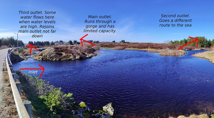
Fun stuff, a stream pool with three outlets. A trifurcation!
