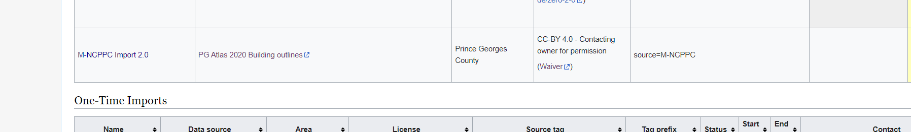
A new line has been added to the import catalogue, it is at the bottom of the table.
1 Like
Thanks, I have added a little more context and fixed the table. Additionally, I have updated the row for the first version. Do you know if and when the first import was finished? Would you mind to add the correct progress status and an end date?
1 Like
Unfortunately, I do not know the dates for the first import.
What would my next steps for my import so that I can begin importing?
Thanks!
Andy
Based on the guidance provided from this forum, we have revised our import to follow the general process described by the Import Guidelines. We would like to proceed with the import of the Building Outlines. All comments have been taken into consideration when fixing the workflow of the Import. The use of the JOSM Validator will be used to identify and remove all tagless points and ways from the import, which was the initial issue being addressed in this discussion. Regarding Skypers comment above concerning roof top types, unfortunately we do not have the data, or the means to collect the necessary data, to accommodate the request. In light of this, we would like to import our Building Outlines data in its current form.
Thanks,
M-NCPPC
For the avoidance of doubt, can you confirm exactly what tags you will use? I don’t believe that you have answered the questions at https://community.openstreetmap.org/t/tagless-points-and-lines-in-greenbelt-md/97992/60 yet (including " What does the value not applicable mean?"). I don’t see a mention of the word “roof” at https://wiki.openstreetmap.org/wiki/M-NCPPC_Import_2.0#Tagging. I suspect that you need to update that page, unless those tags are really the only ones you will be adding.
In the light of previous problems I’d also suggest adding a note to the wiki page saying what units you’re going to use for e.g. “height”.
1 Like
Andy,
We will only include OSM compliant attributes, removing any “not applicable” tags from building outlines. We will update the Github with this change and update here when those changes have been made.
Thanks!
Andy,
Since you have not given additional information or clarification, we are going to take that as permission to move forward with our import. M-NCPPC_Import will continue with the import of building outlines in Prince George’s County, following all guidance given by the OSM community.
Thanks!
Thanks for the extra information and links. Just for completeness, previously I asked:
That still isn’t mentioned on the wiki page, but in the data appears (unless the inhabitants are all canine) to be SI, which is of course fine.
No-one else has spoken up, but I’m sure they’ll let everyone know if there is a problem.
The import guidelines do say " You must subscribe to the imports mailing list and post a review of your import to imports@openstreetmap.org" which I don’t think you’ve done, but the import is restricted to one area of the US and people here and at OSM US’ Slack are well aware of it.