Regarding @skyper’s comment about the height’s significant figures, there is no formal rule on this that I know of, but logic does apply here. Let’s take the height=3.14871060478 for example. The vertical resolution of the M-NCPPC LiDAR is only 10cm. Therefore, only the 3.14 (314 cm) is significant. You can round those off.
Finally, I see what @skyper means about the addresses. Have a look at this row. That is Rose Mount Lane (here) so just double check your address process is including the street type.
@ElliottPlack Thank you for the help! I have rounded the height and fixed gable vs gabled. I will also add the end of street names to the data. I will update here when those changes are reflected in GitHub
I would suggest, given the problems so far, that @M-NCPPC_Import really ought to create a personal wiki page with the content https://wiki.openstreetmap.org/wiki/Import/Guidelines, but with each line annotated to explain how what they have done has met that particular requirement. For example, following a certain amount of to and fro I think that we do have a licence waiver, but the line here is still comically wrong. Until that’s resolved I’d say we’re still at “Step 2 - License approval”.
Given that there does seem to be a general English comprehension issue here, perhaps @M-NCPPC_Import could ask someone to help them with that? I know that a couple of people on OSM US’ Slack have already helped with some points.
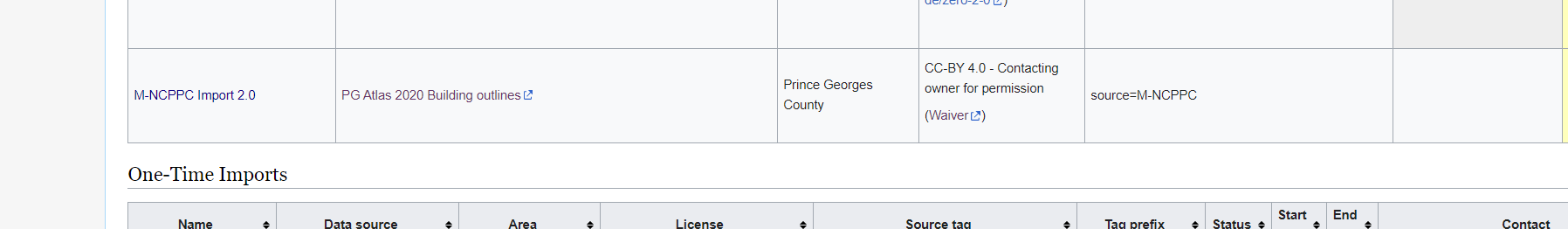
Unsure what line you are referring to. However, there is now a wiki page specific to this import, which has a link to the waiver that you indicated needed to be signed.
Some links between the two wiki pages would be appreciated.
Yes, looks better but there are still issues with the value of roof:shape. And is addr:state without any further addr:* useful on every building? Reminds me of is_in.
Regarding roof:shape:
What does the value not applicable mean?
I still find wrongly classified gabled which are either hipped or even more complex shapes.
In fact, this problem already existed with the first version of the import and roof:shape needs to be review on all buildings with value gabled.
Thanks, I have added a little more context and fixed the table. Additionally, I have updated the row for the first version. Do you know if and when the first import was finished? Would you mind to add the correct progress status and an end date?
Based on the guidance provided from this forum, we have revised our import to follow the general process described by the Import Guidelines. We would like to proceed with the import of the Building Outlines. All comments have been taken into consideration when fixing the workflow of the Import. The use of the JOSM Validator will be used to identify and remove all tagless points and ways from the import, which was the initial issue being addressed in this discussion. Regarding Skypers comment above concerning roof top types, unfortunately we do not have the data, or the means to collect the necessary data, to accommodate the request. In light of this, we would like to import our Building Outlines data in its current form.
We will only include OSM compliant attributes, removing any “not applicable” tags from building outlines. We will update the Github with this change and update here when those changes have been made.
Since you have not given additional information or clarification, we are going to take that as permission to move forward with our import. M-NCPPC_Import will continue with the import of building outlines in Prince George’s County, following all guidance given by the OSM community.
Thanks for the extra information and links. Just for completeness, previously I asked:
That still isn’t mentioned on the wiki page, but in the data appears (unless the inhabitants are all canine) to be SI, which is of course fine.
No-one else has spoken up, but I’m sure they’ll let everyone know if there is a problem.
The import guidelines do say " You must subscribe to the imports mailing list and post a review of your import to imports@openstreetmap.org" which I don’t think you’ve done, but the import is restricted to one area of the US and people here and at OSM US’ Slack are well aware of it.