Hello,
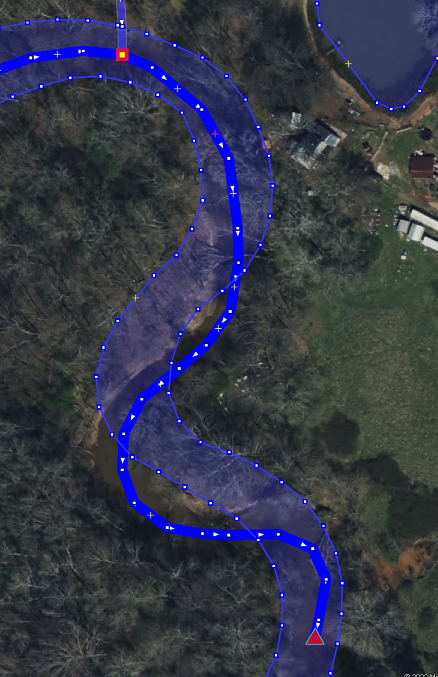
while working on fixing rivers in the US based on osm-river-basins I came across rivers, which are only existing as a area. So I’m going to add the river additional as a way. Though comparing the existing polygon it seems to me, they are not matching the actual riverbank but rather looks like they are mainly created in a way to look good in some kind of printed map, so I’m thinking whether it’s better to remove the polygon after adding the river as a way, mainly because the actual river is out of that polygon and it would look odd to end up with two rivers, as well I’m not willing to re-draw all the (imported) polygons.
In my experience, the more likely explanation is that the river shifted over time. The water area was originally imported from the National Hydrography Dataset. The NHD:FDate tag indicates that NHD last updated it in July 2002, leaving plenty of time for natural processes to affect the river’s course.
Among mappers in the U.S., NHD is at least as notorious as TIGER for other reasons besides its age. Compounding the problem, it was imported piecemeal, watershed by watershed, by a number of mappers over the course of several years, each of whom imported a different NHD edition, mapping the attributes to different OSM tags. @ToeBee has outlined some of the tagging discrepancies on the wiki. As far as I can tell, none of these NHD:* tags are meaningful enough to keep, even if NHD:FDate has helped explain the mismatching geometry in this case.
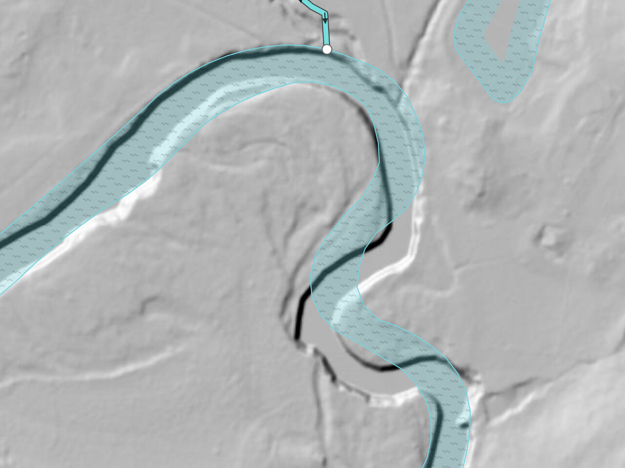
In short, do whatever you need to with this area, as long as you maintain a similar level of coverage. Since no leaf-off aerial imagery is available for Georgia in editor-layer-index, the USGS 3D Elevation Program layer is by far the best one to trace the riverbanks from.