On the question of legality of access
Some consensus seems to have formed that the path in question does in fact exist, barring any major revelations. In light of that it makes sense to discuss the legality of access. This question is governed by the Norwegian Outdoor Recreation Act (Friluftsloven). An official English translation of which actually exists!
An important distinction between Norwegian law and law in some other countries (the U.S, I think, but feel free to correct me) is that it’s not just the literal text of the law that governs how it is applied. Judges are supposed to respect the intention of the law, however it might be worded, in matters of doubt. Thus, any serious discussion about the implications of a law must include a discussion of prior legal precedent. This can include court rulings, but also statements from various government agencies on how the law should be understood.
That out of the way, let us get to the core of the question.
Innmark (cultivated land) or utmark (uncultivated land)?
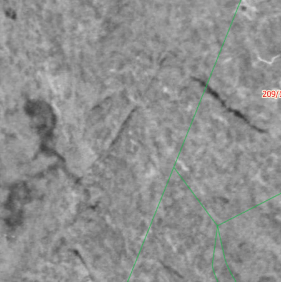
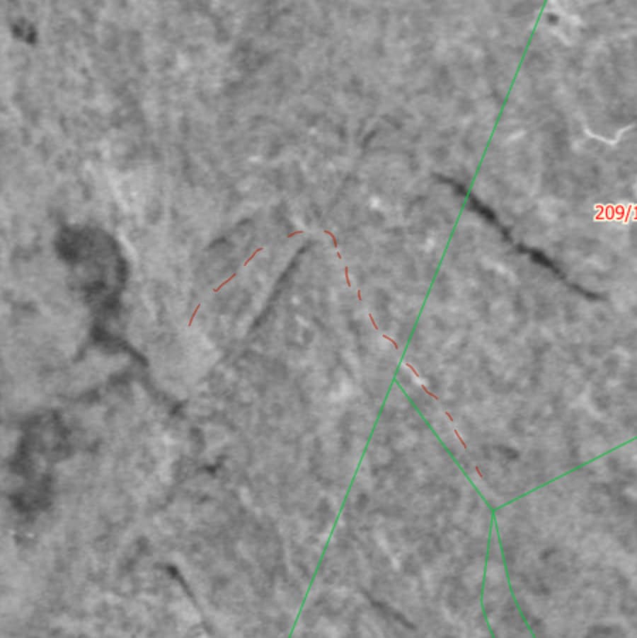
A core question in understanding the legal status of the path in question is whether it crosses “innmark” or “utmark” in the few meters where it crosses the property of Sprengsneset 67. That is, cultivated vs. uncultivated land, as the terms are defined in the law.
If the ground is considered “utmark” there is no discussion to be had, really. The path would then be open to the public, barring an official ruling by the municipality (see § 2). Such a ruling can also only apply to non-foot traffic. And not only that: Any attempt at blocking or removing the path, as well as attempts at discouraging usage, by signs, other “psychological barriers” is considered illegal. This latter claim is based on § 13, as well as the interpretation of this paragraph by the Norwegian Environment Agency, which I can only find in Norwegian.
If the ground is considered “innmark”, the matter gets a lot more complicated, but it doesn’t equivocally imply no public access. I’ll save this discussion for later, should significant doubt be cast on my argument as to the “utmark” status of the ground here.
The counterparts take
I’ll first try to honestly present the legal argument of my counterpart. To my understanding it is as follows.
The entirety of the properties of Sprengsneset 67 (the property the path crosses) and Sprengsneset 26 (the property that the path passes right next to) were zoned as a “residential area” in 1995. This makes said properties, in their entirety, into what the law refers to as “plots around houses and cabins”. Such plots are considered by § 1a to be “innmark”. It therefore follows that the path passes over “innmark” where it crosses the property of Sprengsneset 67.
My take
I deem this to be a misunderstanding, albeit an understandable one. The term translated as “plots around houses and cabins” literally means “house property” in Norwegian. As such it is easy to assume it refers to the entirety of any property in a residential area. However, precedent set by the Norwegian high court establishes that this interpretation of the law is wrong.
The high court has ruled that the “plots around houses and cabins” term, in the context of this law, only refers to a “private zone” in the immediate vicinity of any permanently occupied building on the property, so discounting garages and sheds. They have ruled that any land on residential properties not within said “private zone” should be considered “utmark”. One can read more about the implications of this in the interpretation by the Norwegian Environment Agency.
It is said that the determination of the extent of this “private zone” is ultimately an issue that requires bespoke consideration in each case. The first-line authority that can make such a determination is the municipality (§ 20), but their decision can be appealed to the county governor.
However, some guidelines exist, and in light of these guidelines I don’t think there is much doubt about how such a ruling would look like in this particular case.
Usually, the “private zone” is restricted to about 1000 m2 immediately around the building. This usually equates to a distance of about 10-20 meters from the outside walls of the building. For reference, the property of Sprengsneset 67 is about 2350 m2, so declaring is as “innmark” in it’s entirety would not pass court scrutiny. The path also passes the part of the property that is most distant from the cabin on the property, never coming closer than about 35 meters to the hut, so well outside a likely “private zone”.
One of the considerations that might lead to a larger-than-expected “private zone” is the question of “innsyn” (lit. insight). That is to say, to what extent passers-by are able to peer into living quarters. Basically, residents should have some confidence that they can parade around naked in their own living room without worry about being observed (close up). In this particular case this problem is almost non-existent (see for yourselves in google street view), so likely wouldn’t be taken into account. It is worth noting that the path has more “insight” into the cabin of Sprengsneset 26, but the interpretation of the law is that the “private zone” of said cabin cannot cross property boundaries.
Furthermore, precedent by the high court has established that the notion of a “private zone” should be significantly more restricted in the 100 meter belt next to the coastline, claiming that property owners in this area should expect and accept close encounters with hikers. The conflicting area is about 70 meters from the shoreline, so is within this zone.
In light of all this I am more-than-confident in claiming that the path in its entirety should be understood to only cross “utmark”.
Final resolution
Although I’m confident in my claims, I must accept that I am not the authority that decides on these matters. As mentioned, that initially falls on the municipality. So, technically, we must at least recognise that there is a dispute, as long as the property owners disagree with my interpretation, even if their claim seems rubbish to me.
It is also worth noting that the property owners don’t have to ask for permission to block the path as if it was “innmark”. These barriers only become illegal when the municipality has made a statement on the matter.
Finally, it needs to be said that there are only a handful of players that can demand that the municipality actually make a ruling on the matter. According to § 20, only “the owner, user or an outdoor recreation organization with an interest in the matter may request a statement on the matter from the municipality”. The term “user” here refers to a tenant, not a passer-by, at least from my understanding. This means that my counterpart has the means to finally settle this matter, while I can’t.
As such, if we aren’t categorical in demanding that property owners seek such resolution for their edits to be respected, at least in matters of obvious doubt, they are incentivised to try to maintain the status quo with no clear resolution, in which they can take liberties. Both “on the ground” in terms of barriers, as we’ve seen in this case (albeit ineffective), but also using this doubt to justify edits in the OSM database.
This is why I claim we shouldn’t respect the edits of these property owners, until they have obtained legally binding clarifications from the municipality. Doing so would set unfortunate precedent for our project.
Small note on the parking lot
I don’t claim that the contested parking lot is a public parking lot. Only that it should in fact be mapped as a parking lot. It is reasonable to expect that the property owners have the right to restrict parking on their own residential property. Particularly since most of the parking lot falls within the “private zone” of no. 26.
The counter argument here is summarised as “yes, we use it as a parking lot, but sometimes we do other stuff there as well, like play games”. My feeling is that this is a pretty hollow argument.