For the exact same reason as in Woodland and Forest Mapping updates (Slack → OSM Community Forum) I create here my own topic, where I sometimes post updates about the progress of mapping woodland.
I won’t repost things though here, but I’ll upload a few screenshots from the past 3 years to show how things got progressed. However, I’ll upload them as .jpg files, so they won’t drain your cellular if you’re watching it from such net access.
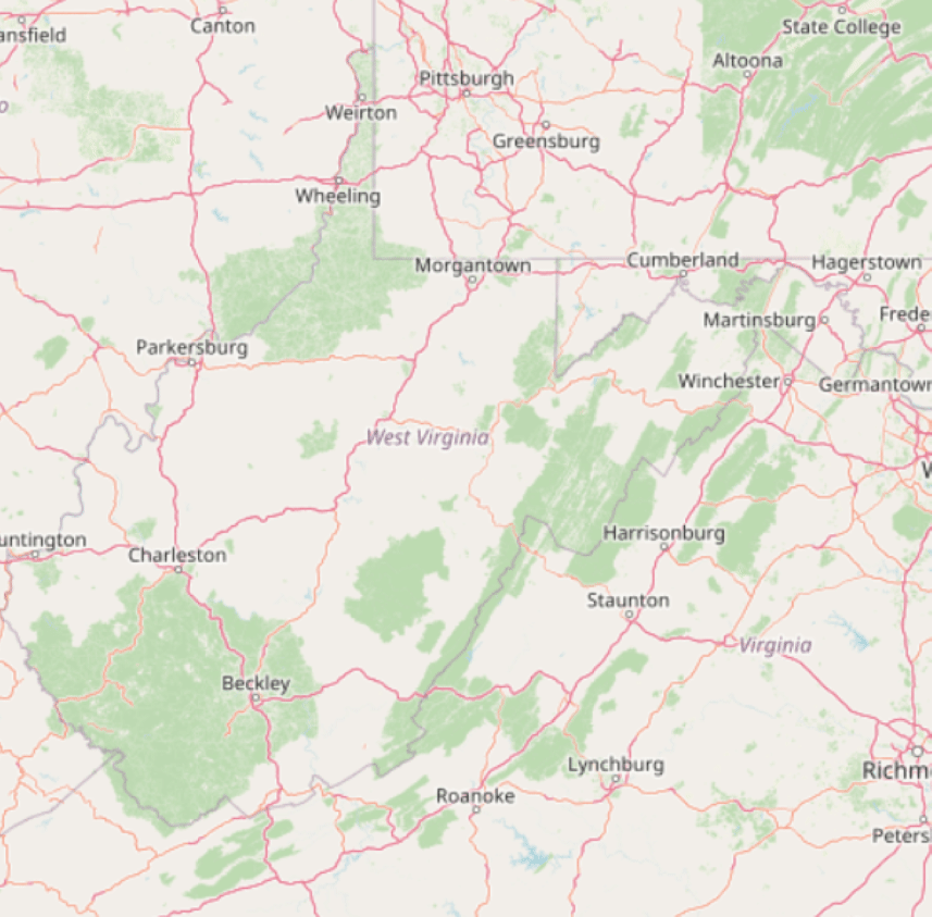
Current project: Ottwiz mapping West Virginia Ongoing since October 2021 including the Raleigh County project. Well, it seems it takes 1 county / month to do, I can’t do faster due to my assignments and personal life.
One checkerboard square, forest plot, neighborhood, downtown, parking lot, woodland, county park, county, “treed farmland,” timberland area, state forest, school campus…at a time, ladies and gentlemen. This is how we build our map.
Behind the scenes, I have a Simple Tasking Manager project set up so I can track my progress and I can set up that where should I map, but since I have a lot of work to do and uni assignments, sometimes it takes 2 or 3(or more) days to complete a square.