New Wiki page: waterway=drainage_channel

I’ve created a new Wiki page to document an existing, previously undocumented tag.

While usually it can easily take me an hour or more on Overpass Turbo, Taginfo, Mapillary and Wikimedia Commons just to find out how a tag tends to be used, in this case it was easy because it was mostly used by one person and they left a note explaining their reasoning.

The page is a bit of an experiment: It is decidedly descriptive, with a warning at the top of the page that its purpose is only to document how the tag is currently used, this was inspired by this earlier discussion.

Comments welcome!

https://wiki.openstreetmap.org/wiki/Tag:waterway%3Ddrainage_channel

@mboeringa

1 Like

" To small for waterway=ditch."

I think the size is perfect for a way tagged as waterway=ditch.

Larger ditches are best mapped as water areas.

drainage_channel adds the purpose of the ditch. I think an additionl tag would be better suited, e.g. waterway=ditch + ditch=drainage_channel

5 Likes

=ditch is already defined as for drainage. That’s not needed. Any other purpose is a deviation.

2 Likes

I think ditch is not exclusively for drainage. Ditches are used for irrigation as wel. In Nederland, most ditches are used to keep the ground water at a predetermined level; if it rains hard, they will drain the land, and if it’s hot and dry they irrigate the land. Size can be very small to pretty wide.
The wiki is too limiting, it should take other purposes into account.

2 Likes

Absolutely, to boot I’ve long come to think of ditches, as slow moving water with both an in and out function for the said water table balances, rarely artificially lined, where drains are explicit for the getting rid of excess water.

Ditches are used for irrigation as well.

Peter, like you I live in the Netherlands.

The reason you give above, is exactly one of the reasons why I think we need a new tag for this type of feature: waterway=drainage_channel, in the way I mean them in the Wiki page, are not suitable for irrigation, because in almost all cases, they aren’t connected to the wider network of waterways known as “boezem” in the Netherlands.

They are in most cases above the level of ditches, and may, or may not, drain to the field surrounding ditches via stream of at the side of fields. In many cases though, there aren’t even such drain of points, it is just a lower dug out slit in the peat of the field collecting standing water of the fields in spring to historically allow earlier access to otherwise often waterlogged fields in winter. They serve no purpose to “irrigate land”, contrary to ditches that may do.

The waterway=drainage_channel is just a single spade deep and wide channel dug in the peat to collect water from the surrounding fields, not part of the wider waterway network like waterway=ditch.

Don’t tell me you don’t know what I am talking about, because there have been hundreds of them added to OSM in the Netherlands, most of them tagged with waterway=ditch (which as you understand I think is only a poorly suitable tag for this type of feature).

Ditch means: “a narrow channel dug at the side of a road or field, to hold or carry away water.” (Oxford dictionary.)

A furrow along the centre line of the field doesn’t need any mapping, I think, but if it’s a big one and usually full of water, maybe it does; in that case I think the above definition is close enough. I can’t see myself getting into problems if there is no special tag for it. On the other hand, if someone wants to tag them with a new tag, fine with me.

Small ditches connect to larger ditches etc until they are too big to call ditches. Then waterway=canal applies. The mapper judges when that is, by size, impression, depth, can you row there, whatever. You can’t put a fixed width on it.

These larger channels are not waterway=drain. They collect and move water around as needed, no fixed flow direction. If it rains heavily on one side of the polder, the water wil move from there to the other side; at another time it may be the other way around.

A road-side ditch which only serves to get rid of water falling on the road, and when it’s not doing that it’s dry, is a better candidate for waterway=drain, except… nobody calls those things drains, they are called ditches!

1 Like

Well, that may be so, but lots of our Dutch fellow mappers appear to think otherwise, because they have mapped hundreds of them as ditches… :wink:

Again, your explanation calls for naming these features differently.

They usually aren’t part of the wider network, simply because most of them don’t even connect to them. Most of these parallel narrow slits or furrows dug in the peat, even end meters from the side of the field. E.g. if the field is 100 meter long, the slit may only be 90…

This NRC newspaper picture with good side lighting clearly shows the last mentioned aspect of the waterway=drainage_channel often not even being connected to any ditches surrounding the fields. Notice the shallow furrow depressions, in most cases 2-5 of them, in the length of the fields, and in many cases ending meters from the fields’ sides:

Yeah… I did that too, for a while, because of the blue outlines on our BGT layers. Until I discovered they usually are dry and they are not waterways, just collector dips. Maybe a nice candidate for a Maproulette Challenge, finding and checking non-connected waterways. Then again, I did most of them not as a waterway but as a water area.

Well, one other aspect is for certain as well:

Nobody in the Netherlands would call these features “sloot”…, which is exactly the Dutch word for English “ditch”, so again illustrates the need for another tag.

Especially the Frisians…, would love to see them “fierljep” across a waterway=drainage_channel(/ditch)… :laughing: Can only end in disaster… :face_with_head_bandage: :face_with_spiral_eyes:

Of course, people like the rendering as “ditch” in the current main map… :grin: so it may be a bit tough to sell another tag at this point, even though clearly needed.

A relevant English word for some of these could be ‘swale’. This is a depression intended to fill with water rarely, which will then soak into the ground. They are not for flowing water, as usually understood for the word ditch. Normally they are dry; in fact they may have no standing or flowing water in them for years at a time. They can look like straight ditches, or like irregular ponds, but their purpose is only to collect excess water temporarily from adjoining land to prevent flooding.

Taginfo shows a bit of usage in different countries, as water=swale. The word has already been included at the end of Tag:waterway=ditch - OpenStreetMap Wiki, but without any content. I’ll try and flesh it out.

I like the suggestion. I didn’t know the word so I looked around. The word appears to be used formallay by some, more loosely by others. Formally it is a construction with some specific attributes, loosely it is any depression made to collect rain water so the rest of the field or road dries up faster. I see examples connected to piping, and examples just collecting water to be taken up over time by the soil.

All in all ‘swale’ seems to me an acceptable term for the dead end ridges and depressions in the polder fields.
Drainage channel to me sounds like it has to lead the water somewhere, with an active flow and a direction.

If drawn as a water area the tags woud be natural=water , water=swale
For a way, it would be waterway=swale

I’m not sure a separate tag for the way is worth it. If it’s linear, I think it’s also a ditch (dug out artificial waterway).

I don’t think linear features make sense for these - these would just be ditches or drains.

Where water flow is regulated by pumps and sluices, you can’t reliably tag flow direction on ditches and drains - they often form “circles” in low lying areas near me; what happens is that field drains (porous pipes) empty into these and they exit into lower ditches or drains by a direction based on lower water level / wherever it’s been raining less.

1 Like

By default the flow direction is shown in the direction the way was mapped (IIRC canals are the exception). When we know it’s a true loop or we know it’s a waterway that goes both ways, would oneway=no be an appropriate tag to add? (Amanda’s new waterway loop map highlights all waterways that turn back onto themselves. She wrote it showed 21K cases. Found 4 genuinely having the wrong direction on them…streams they were)

I think I would reserve the value drain to waterways with a reasonably fixed direction. It drains water from something into something. If flow direction depends on the wheather, to me it’s just a ditch.

Larger ditches which carry water to pump installations, I tag as waterway=canal, with a flow direction ( I also map them as areas of natural=water). Others tag them with waterway=drain, I can live with that because the main function is to drain excess water from the netwerk of ditches to the pumping stations.

I’d agree that anything around here (UK) that I’ve mapped as a drain certainly has a pretty fixed direction, yes - the things that I was thinking about when I wrote the above I’d definitely call “ditches”. However, maybe someone fro a climate where something that would be best duck-tagged in OSM as a “drain” is used for irrigation as well as drainage could think of an exception?

I’m certainly not an expert on hydrology, and as an armchair mapper I can hardly tell what a ditch is used for – irigation, draining, or perhaps both (and how the system works). The area I map (Province of Vojvodina) is a vast former marsh, mostly converted into farmland by draining ditches and canals.

However, there are also somewhat higher elevations which presumably need irrigation. And those large water areas are all artificially dug for fish farming, and those systems also need water supply and/or overflow management (since they are all connected to the canal network).

Now, I found an interesting textbook chapter on the basics of the matter. It is in Serbian, but it has nice illustrations. In a nutshell, I don’t think a mapper (even the one surveying the area in person) can easily tell an irrigation system (navodnjavanje) from a draining system (odvodnjavanje), or a combined one for that matter. Both of them have basically same elements: rivers or lakes for water supply/reception; canal network, with “distribution canals” of “1st order” and “2nd order” (ditches); locks, gates and pumping stations.

So the best I can do is to “duck tag” those as canals, drains (“2nd order canals”, which I judge mainly on the basis of the width and presence of pumping station or lock at its confluence with a major canal or a river) and ditches, with the direction mapped as if it is a draining system, the best I can tell (some parts are constructed as a proper grid where I cannot reliably tell the direction, if it’s a thing at all).

Thanks for pointing out the ‘swale’ option. Not being a native speaker, I had never heard of that one before.

Looking at some images of ‘swales’ and accompanying descriptions, I think I agree this might be closer to a useful tag for these features then “waterway=drainage_channel”.

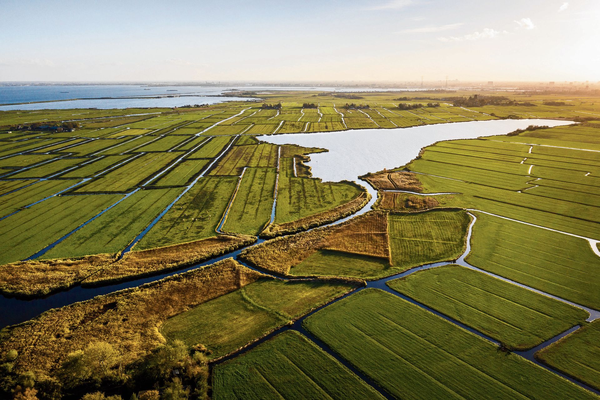
As to Dutch ‘swales’ (and likely in all other countries, also considering images and descriptions I saw): things like these, and frankly as with any tagging in OpenStreetMap, are never 100% clear cut.

Some of the Dutch ‘swales’ in meadows are absolutely non-flowing and just collect the water of the surrounding land and end meters from the side of field. Some, however, are dug to end in a ditch (usually on one side of the field though and almost always ending at a level above the ditch surrounding the field), and may have a temporary directional flow.

In all cases, swales, like you describe, are usually dry the majority of the year. Only in winter time they tend to fill up.

That all said, before applying “waterway=drainage_channel”, I did do some research to try to find out an appropriate terms for these. That’s how I came up with the link to the image of:

“Drainage channel on slopes above Daill River on Cape Wrath”

from geography.org.uk that you also incorporated on the Wiki page. I still think the feature shown there also has much resemblance to the Dutch situation, as freshly dug Dutch ‘swales’ will look very similar if done by hand, so “waterway=drainage_channel” as described there is not wholy inappropriate.

Whatever the choice of tag, I still strongly feel “waterway=ditch” is inappropriate for this type of feature, knowing the Dutch situation.

As I wrote before, absolutely nobody in the Netherlands would call these features “sloot”, which is the Dutch word for English “ditch”. So it would really feel inappropriate and weird to tag them with ‘ditch’ in the Dutch context (and I guess in a few other languages there may be a similar similar situation, but IDKFS).

Others think ditch is the word for Dutch “greppel”, that’s why they map a “sloot” as drain. A “greppel” is a roadside furrow, dry in dry weather and only wet when it rains, to get the water off the road faster. Sometimes connected to the water network, sometimes standalone. Which is… just like the elongated swales.

I think ditch is English for Dutch “sloot” AND Dutch “greppel”. I try not to hang on to one translation.