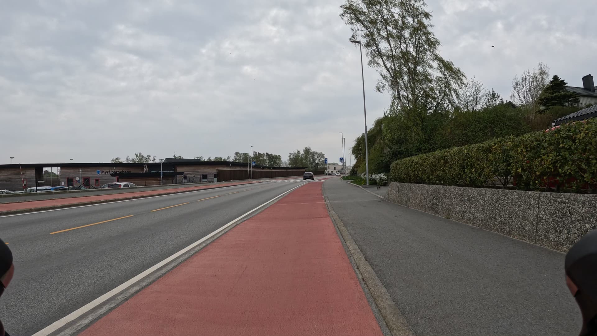
After ten years of trials, the road authorities decided a few years ago to properly introduce Danish style protected cycle lanes. They are separated from the other traffic lanes with a less than full-height kerb, and from the pavement with an ever lower, or even slanted, kerb.
The NO guidelines say to tag these as cycleway=track on the cariageway line, which is fine.
There is also a strong argument in favour of mapping them as separate lines, because road authorities have decided that these are unidirectional cycleways, and they are signposted as such.
At bus stops, the main construction guideline is to place the unidirectional cycleway behind the bus stop, with pedestrian crossing from the pavement to the platform.
This necessitates a separated line, both for geometry and for pedestrian crossings. These even-more-separated unidirectional cycleways are also created at junctions with regular cycleways to ease transitions.
This would all have been fine – if there are no floating bus stops, either method is fine, and if there are floating bus stops, the separate line is better (IMO).
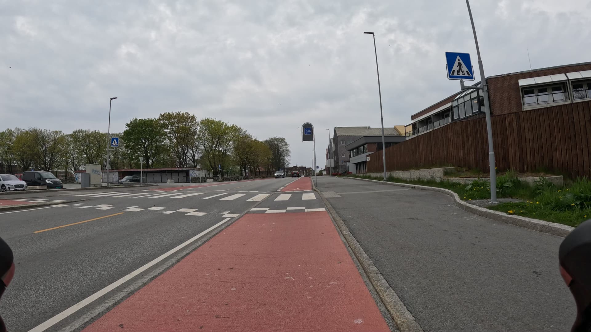
The problem is that the road authorities decided to not do like the Danes and the Dutch have figured out at intersections – to create a traffic calming table that raises the traffic lanes to the height of the cycle track and pavement – but instead decided to lower the cycle track and make it a formal and legal cycle lane through the intersection – and then elevate the lane to a track after the intersection.
So now we have situatons where the cyclemajig is a lane, a track, and a fully separated cycleway with pedestrian crossings on different stretches of a segment that’s a few hundred meters long.
How would you map this?
If your gut instinct is to respond “just be pragmatic, do one of them and accept that it’s not perfect”, that’s obviously not what I’m looking for. ![]()