and I agree with that quote completely. What I do not agree with is that something that is disused:sidewalk (or abandoned:sidewalk or razed:sidewalk) is actually the same thing as sidewalk=yes, which (if I understand you correctly) you seem to imply.
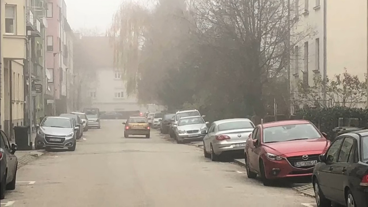
yes, this is legally a sidewalk, constructed as a sidewalk and working as a sidewalk, and the only problem is there are parked cars to be expected, so you won’t be able to walk there, that’s a fact which is useful to know for pedestrian routing, but it doesn’t change that there is a sidewalk. You called it a sidewalk yourself.
sidewalk=yes would be the trolltag for that case, as no usable sidewalk exists there.
no, because “currently usable” is not a criterion for the existence of the thing.
If I crushed a car under hydraulic press, would you still call that “a car” or “a lump of metal” ?
a better comparison would be a car without petrol. Is it still a car? IMHO yes, although it doesn’t currently drive.
If there is abandoned room in the ground floor of residential building where many years ago a shop was (but is no longer), would you still call (and map) that as a shop=* or disused:shop=* ? I wouldn’t call it a shop, because I can’t buy anything there, which is a whole reason for mapping shops.
yes, this gets to the core of the issue, a shop in OpenStreetMap is about an activity, a sidewalk is not, it is about physical infrastructure. The building in your shop example remains a building, even if the shop is vacant (and all other areas in the building as well, if you like)
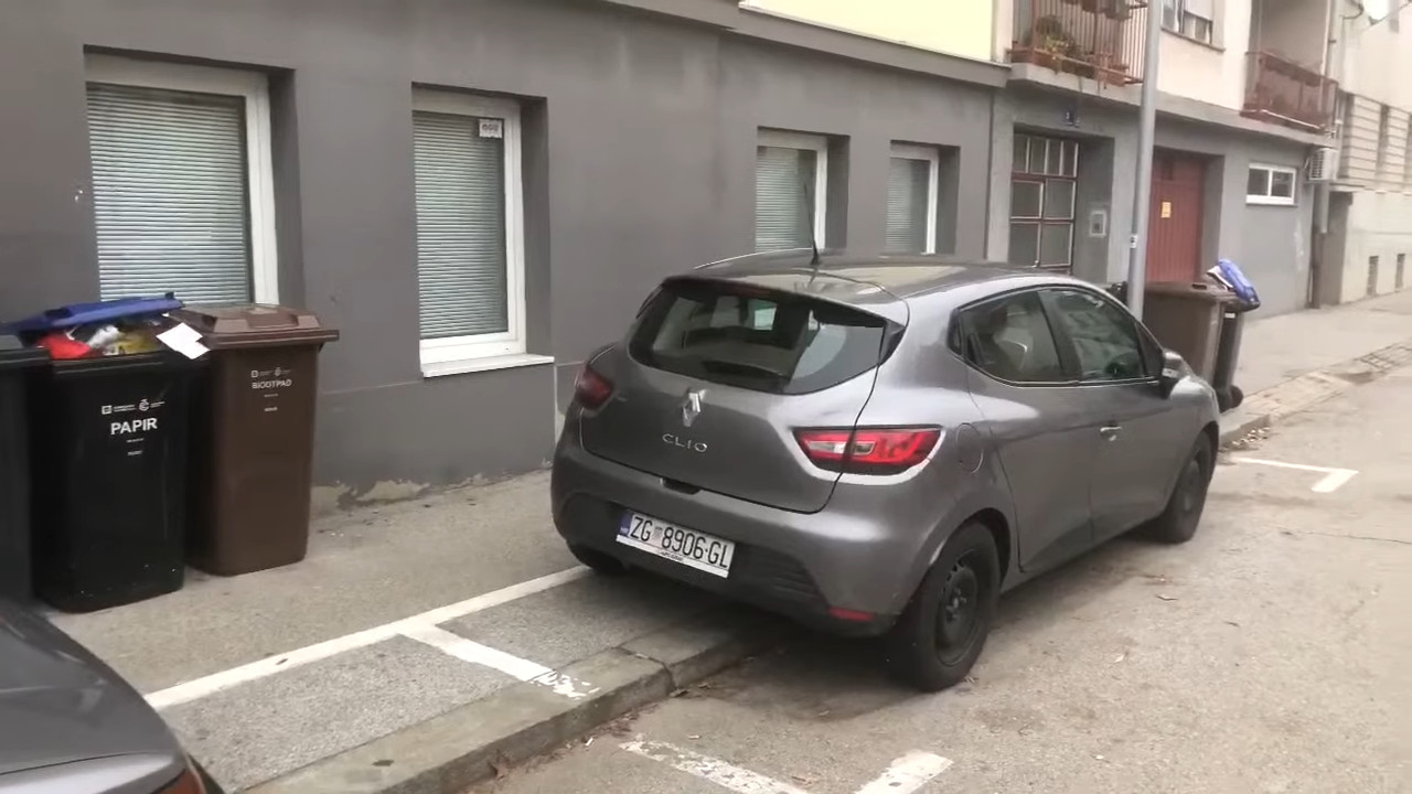
In the same way, I wouldn’t call illegal parking on the stretch of asphalt over the kerb which is unusable for pedestrians “a sidewalk”, no matter what initial idea might have been, as it cannot be used as a sidewalk by pedestrians walking.
frankly, the municipality should either declare the sidewalk a parking or tow all those cars.
Also note that we don’t know for sure what it was really intended to be, we can only guess: it might actually have been intended as a parking, or as a cycleway, or as a sidewalk, or as something else. Sure, some have (much) higher probabilities then others, but there is no way to be sure, as there is no current sign specifying,
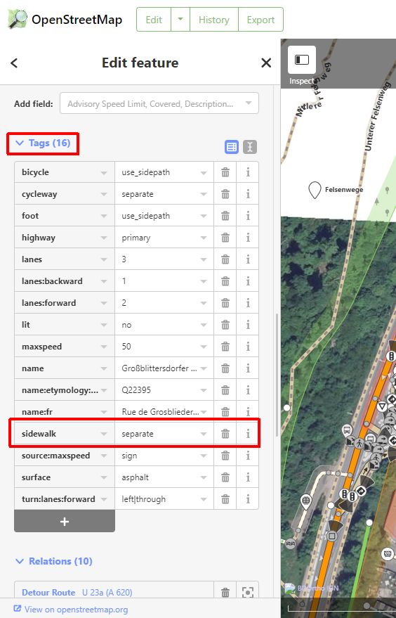
are there generally signs for sidewalks in your country? I didn’t see them, sidewalks are very frequently not sign posted but evident from the layout and materials used (e.g. the kerb)