Thanks, but if I had an alternative solution I probably wouldn’t have opened this post in the first place, would I?
Do you have any suggestions for alternatives? I am happy to hear them.
Unfortunately, we cannot use the Austrian cadastral data for OSM, despite explicit requests for the license.
There is of course the basemap.at, which contains building areas and these also as a vector. However, it often takes years until buildings appear on basemap.at. And the building areas are here mostly not the representation of the entire roof area but often include the entire basement, which may be much larger than the building itself or the other way around.
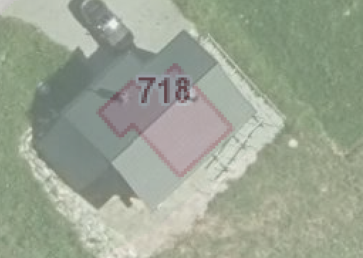
One random example:

The building outline in basemap.at does not match the actual building here. And no, the roof does not overhang by 1.5 meters on all sides.
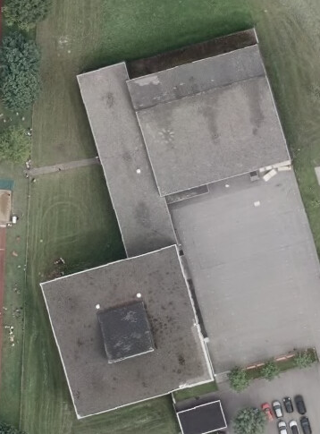
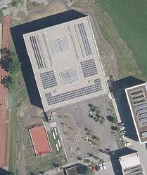
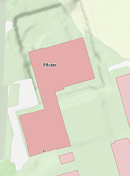
Next example is a school complex. The northern part is completely missing in basemap.at, although the building was demolished and rebuilt in 2016. So the basemap here matches the old structure from 2015, so is now 8 years behind.
In addition, the southern part no longer exists, as can be seen in the 2020 aerial photo.
2020|basemap|2015

There are thousands of such cases.
So I would not like to use these open data building outlines from the cadastre for OSM, would you?

