I’ve been carrying around an idea for a while now, where my own attempts have failed so far and I now want to ask the community.
Preamble:
In my state there are very good aerial images with 10cm resolution, which are already released for OpenStreetMap.
To get a feeling for the size: The state covers an area of 2.569 km². The area is already excellently mapped in OpenStreetMap, but new buildings and also roads are being built at a rapid pace. In the course of this year, the new aerial images will be published with the date of recording in 2022.
This is the reason why I wanted to discuss my project with you and clarify whether this is at all possible for a single person without deeper programming knowledge and large infrastructure like me.
The idea:
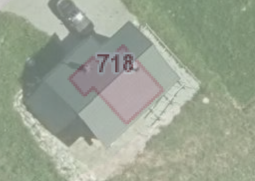
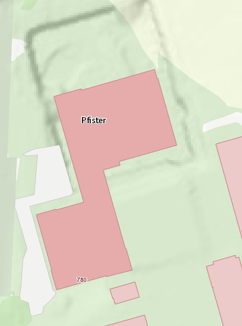
I would like to have BuildingFootprints created with the new aerial imagery, which would include all previously unmapped buildings (and roads, if applicable). Very similar to the BuildingsFootprints or RoadDetections from Microsoft, only due to the much better aerial image resolution also in a higher quality and timeliness. I would then want to check and map these building outlines either in JOSM or using a MapRoulette challenge. Editing in JOSM would have the advantage that the address of the new building could be entered at the same time using the AddressHelper plugin.
Originally I got this idea from the project ohsome2label and in its wake I also looked at some other projects, which partly follow similar approaches and seem to be suitable for my project, but probably all of them are not yet completely finished and partly have only been created as a scientific thesis.
Just this week I came across this GitHub repo, which looks very promising, but completely overwhelmed me due to its scope.
Questions:
-
What are the technical hardware requirements for such a project? What costs would have to be expected?
-
Which software could be best suited for this? How much technical knowledge in programming languages would be required?
-
What preparatory work is required to obtain processable media files from the WMS layer? From what do I create the sample set for recognition?
-
What is the expected success rate in terms of quality and usability of the result data? And how long does such a project take to realize? In a nutshell: Is it even worth it?
Now I hope to get an answer from the community regarding feasibility and to share experiences, examples and approaches. Have I forgotten anything? Thanks a lot!