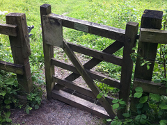
As an aside the term “wicket gate” isn’t used much in modern English - they’d normally be described as some sort of “pedestrian access”. However, there are more than a few cases where archaic English lives on in OSM, even relatively modern inventions like https://wiki.openstreetmap.org/wiki/Tag:shop%3De-cigarette - these are almost uniformly referred to as “vape shops” in the UK.
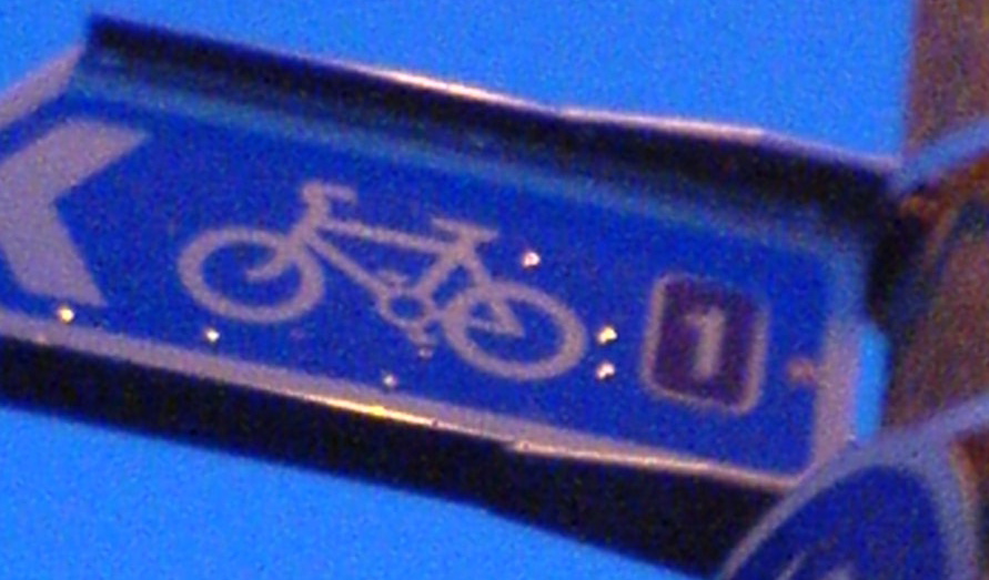
ideally direct replacement: closeup of route 1 in national cycle network of UK - of higher quality if possible, if not then closeup of other UK bicycle signpost
but other bicycle signpost closeup would also work - potentially more complicated replacements like tweaking descriptions would be needed and there is a higher risk that people would be sad about a change
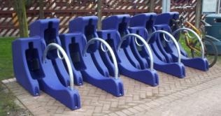
The image is called Bike pod, what is mapped is bicycle_parking=streetpod.
Not too many mapped, taginfo can tel there are 237 streetpods (0.05%) mapped, I could not find an image on Wikimedia Commons.
Then extracted them and found that most are scattered through Europe but there is one concentration for Newcastle upon Tyne. I did ping the most frequent mapper.
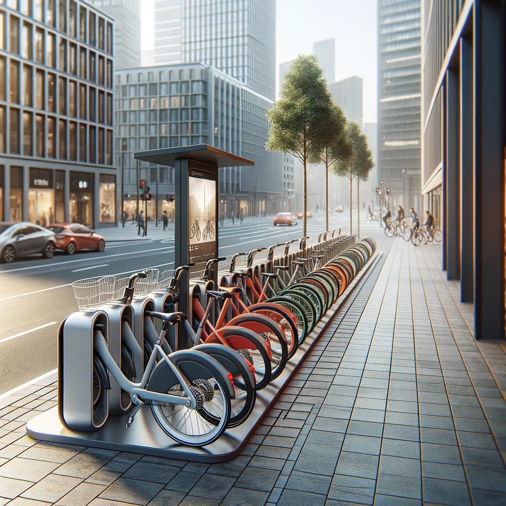
That picture is used here, and a search for those with images finds this, the picture of which seems to have moved here. That one may well be mistagged, but given that there are only 245 worldwide, I suspect it wouldn’t be that hard for the person with the itch that needs scratching here to find a cluster near where people add StreetComplete picture notes, and tie the two together

.jpg)
.jpg)