Yes. JOSM’s Conflation plugin (Github) is a great way to do it.
@watmildon 's fantastic User Diary is what first taught me that method:
- “Using the JOSM Conflation plugin to add 1500 addresses in 10 minutes” (April 2023)
- (I even wrote my own step-by-step tutorial: “How to Conflate Addresses”)
- Includes a few extra tips/tricks too.
- (I even wrote my own step-by-step tutorial: “How to Conflate Addresses”)
The instant I learned how to use it efficiently, it made (re)mapping things SO MUCH BETTER/FASTER—and most important, way more fun.
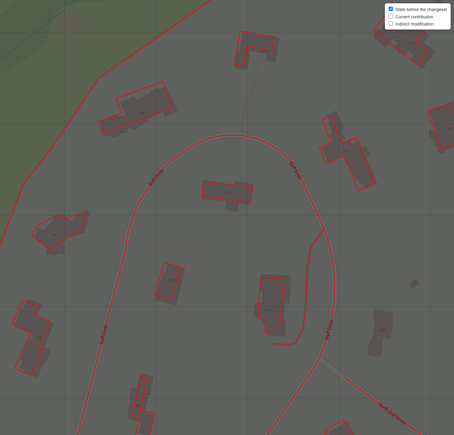
Side Note: Ever since stumbling across @watmildon 's tutorial, according to “How Did You Contribute”, I’ve jumped up to position #14 in the entire US. ![]()
How to Use JOSM’s Layers + Conflation
You then have:
- The main layer
- OSM data.
- Can be awesome → very poor quality.
- A secondary layer
- Address / “AI” / imported / generated data.
- Can be very high → atrocious quality.
You can then:
- Select the (poorly drawn) OSM buildings.
- Set them as “Subject”.
- Swap to the secondary layer + select the best stuff there.
- Manually draw/adjust/realign as needed.
- Set those as “Reference”.
- Run JOSM’s Conflation.
- One-by-one, go through and approve the best ones.
The Conflation plugin will “save the history” of the original nodes, while swapping in new/better shapes!
On Quality of “AI Data vs. AI Data”
Like some users said:
- Microsoft buildings are typically “meh” → awful.
- … but your county’s GIS buildings may be “high / very high” quality!
- And even include the individual duplexes/townhouses already split!
For example, here’s a GIF:
Even having this layer as an option lets you very quickly know, at-a-glance:
- “That’s not a single building… but it’s actually 2+ houses combined”!
- You wouldn’t believe how much time this saved me in more dense towns/cities—even with my “building cutting” trick!
On Quality of “AI Assistance vs. Fully Manual/Hand-drawn OSM”
There was a big section of a town I recently went through, where an OSM user drew buildings “like they were using crayons”! (And didn’t even use “Q” to square them off!)
See before/after “Poorly-drawn OSM vs. County GIS buildings” GIF:
Even most of Microsoft’s “meh” buildings would be a HUGE step in the right direction compared to that!
And for those who care about high quality… being able to import AI stuff as a base, then do manual tweaking on top, saves lots of tedious drawing as well.
So, my adding of buildings might be split like this:
- 50% = Verify + Hit “Accept”.
- AI is correct on most square/rectangle/L-shaped buildings.
- 25% = Drag to correct spot / Add-or-Delete 2->6ish nodes.
- AI accidentally detected outside patio as a part of the house/roof.
- I add a missing garage.
- 25% = Completely ignore.
- I then manually draw everything super-high quality, just as I would if I had a blank slate.
This frees up more time to then focus on the most fun aspects of mapping, and go into even more detail now that the buildings are there!
(For example, I recently began tagging a lot more building:level / roof:level / roof:shape… or drive-throughs and fire hydrants!!! ![]() )
)
Yes, this is one annoyance I mentioned to @watmildon.
Right now, the MapWithAI plugin always tries to deduplicate the OSM->imported buildings layer.
If there are crudely drawn buildings, those take priority, so you get a giant blank spot in the MapWithAI layer.
I wish there could be a checkbox to disable the deduplication step, so someone like me could selectively replace:
- Microsoft with County GIS buildings.
- Going from “meh” → high quality.
- Poorly-drawn with County GIS.
- Going from “awful” → high quality.
Then I could use those Conflation tricks above, to swap in even more better buildings. ![]()