For the popcorn crowd, MapWithAI addons for JOSM and Rapid inserting buildings by the zillions in the most preposterous shapes and in the most ludicrous places and MagicWand to name 2.
(not related to AI ferrets, but)
“Rapid” is not inserting zillions of buildings, mappers using these tools incorrectly allegedly are. If you see people doing that, please report them.
Edit: I’ve added “allegedly” above, because (based on DWG reports) we’re just not getting reports of “zillions” of buildings added in this way. We are getting some (and have dealt with those). Maybe there’s a big unreported problem out there - I’m not convinced, but please do report any such problems so that we can engage with the problem mappers (and help you do do that too)
17 Likes
While I agree, I think there is also some responsibility when you offer such low barrier tools which make it easy for everyone to perform massive imports of such data, if 999 out of a thousand are refraining there’ll still always be someone doing it.
2 Likes
I agree (and have made similar points elsewhere re the HOT tasking manager and Maproulette). Just to check, I’ve had a quick look at a local area right now. In that area, of the “Rapid assist features”:
- Facebook Roads is garbage (1)
- Microsoft Buildings is mostly correct at detecting something missing (2)
- Overture places are garbage (3)
- Open Data Footways isn’t showing anything
(1) Anything worth calling a road here is mapped, so all suggestions are false positives, mostly “schoolboy errors” such as hedge shadows etc.
(2) The vast majority are genuine missing buildings. The geometry is usually there or thereabouts, but editing is needed about half the time (ish)
(3) See other forum threads ad nauseam. That doesn’t mean that there isn’t useful stuff in that dataset (as a prompt for a survey, for example) but in this area it’s not actionable in Rapid.
In each case Rapid’s info box below “add” says “Does this look like an accurate feature? Select this to start editing it so that you can connect, tag, and save it to OpenStreetMap. ![]() ”. Maybe more can be added there, but too much text will simply mean that it will not be read.
”. Maybe more can be added there, but too much text will simply mean that it will not be read.
The “Rapid Features” section of the Rapid tutorial could do with more work - it says you can add and ignore, and note that adding may cause issues with existing data, but doesn’t cover “this might be a false positive and not exist at all”. However, to make that change you’ll need to engage with the editor authors - writing forum posts won’t make that happen.
4 Likes
I looked in TagInfo before Rapid was even on the map and then there were 17+ million in OSM with the source tag pointing at MapWithAi. Today there’s over 28 million with the tag that’s used by Rapid. Cant remember if same as MwAI, but since the take-off in the graph is 2020, the bulk is likely MwAI

PS Does the person to whom i replied about ‘AI was not allowed in OSM’ know the reply was moved? When I look in the rodent thread, the post is without a reply indication.

1 Like
Yes, I’m aware.
Just to remove any and all confusion, I should probably clarify that I don’t see a problem with analytical systems taking a look at aerial imagery and rough-sketching a starting place as MwAI/Rapid (same thing) does.
I do have a problem with wholesale swallowing FurAffinity, DeviantArt, e6 etc and regurgitating the pirated results to us.
10 Likes
We have a lot of MS building footprints additions here. They’re often rather wonky, not really respecting multiple sources, but better than nothing. They do need human correction and correlation against cadastral land parcels and surveys, and general common sense about houses, garages, and how people live.
I don’t really have problems with image recognition tasks applied to OSM and turned into possibly useful data, as of now. I doubt that implicit biases in the training sets are going to get somebody arrested, bulldozed, or shot at present, at least not with what I’ve seen from the current state of the art. It’s a small task for a small matrix, and the worst outcome for places with lots of human editors is that much will be fixably wrong. Just don’t dump bulk garbage data synthesized from Western-centric assumptions on communities where the assumptions don’t hold, and who can’t fix it readily, please!
I hope this stuff stays limited in scope, and easy for the DWG to revert if someone starts spamming the map with poor or harmful data.
4 Likes
They are not “better than nothing”, they are actively negative and require more work to fix than simply doing it properly the 1st time around (which essentially means they are never ever going to be improved).
20 Likes
I might have agreed before I knew about replace geometry. Now I just drag them out of the way, redraw them from scratch, then Ctrl+Shift+G.
4 Likes
If you have to do this for a whole area I find it quicker to do the new building traces in a fresh layer and then use the conflate plugin to do the geometry replacement/additions.
9 Likes
Oh I could see that, yeah!
You could, but the point that Simon was making was that it’s actually quicker for the crap buildings not to have been added in the first place.
By all means use things like Rapid to detect missing buildings, but don’t then say “Well, it’s a building. It doesn’t really match the building on the imagery. I’m sure someone will come along later and tidy it up”.
13 Likes
Both of the responses are actually making my case as you note ![]()
2 Likes
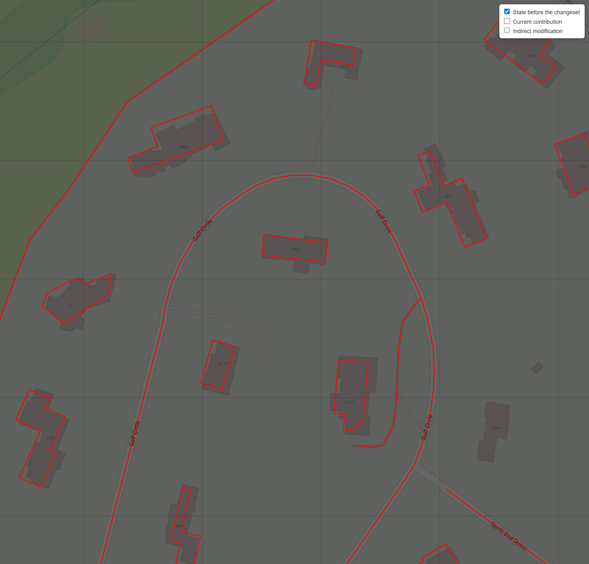
Just happen to come along… The red outline is before hitting the Ctrl+Shift+G to transpose the chronology to the ‘correct’ shape. for the countlessless time. According the JOSM measurement plugin the old shape was 116 m2, the new shape 80 m2)
Bing

ESRI… seems the right top white blob, possibly a furgone, went away.

1 Like
Have you contacted the mapper about the less than stellar quality of their edits? Did you get a reply?
Did this 2 minutes before making the mistake of venturing here and seeing the OP earned a thumbs down on top, the context of course lost since the comment was a reply in another thread on AI. Shakes head and walks away, my feet reached the door first.
Yes. In my case they’re usually misguided (under-guided?) noobs trying to help after a hurricane by very loosely tracing buildings on a completely unaffected island. MapwithAI detections might actually have been better in many cases.
And no, I don’t normally contact them. Their history tends to have been a two day sprint X years ago and nothing since so engagement is unlikely to improve future mapping.
4 Likes
Indeed it always takes some more time to modify inaccurate mapping, especially when trying hard to keep the history.. I’d say an exception to this good practice could be made in cases where version 1 of a building set is very poor. The history isn’t worth much when it was carelessly done in the first place. Freed from that constraint, it still would technically take a little bit of time to select all and press delete, but it would be a vanishingly small amount.
1 Like
Another downside to poorly drawn buildings, no matter the method, is that if people see that a city is blanketed in buildings, they may not realize the buildings are poorly drawn because they aren’t necessarily looking at aerial imagery. Unlike with roads, we have few reliable tools to automatically evaluate the quality of a building.
In the past, this has been a problem with other features that we track coverage of by visual inspection, such as landuse and landcover areas. People used to map these areas very crudely, possibly disincentivizing more granular mapping slightly later on when our standards were higher. Nowadays, at least we have the tools to detect abnormally large landuse areas or those that cross major streets.

I’ve been somewhat wary of the Microsoft building dataset because of the potential to preempt higher-quality local imports by mappers who sweat every detail. Even Esri’s curated local building+address datasets don’t correct the often artistic placement of units within an apartment building. I know we aren’t going to come up with better imports or more dedicated mappers absolutely everywhere in anything less than a geologic timeframe, so the challenge is finding a good balance.
Sometimes there are considerations other than quality. I’m somewhat notorious for the thousands of buildings I drew in my hometown back before we had the tools and imagery to draw them well. Back then, local government agencies had much better building datasets with addresses, but they were proprietary and cost real money, so we couldn’t import them. Fortunately, our crude buildings helped convince the authorities to release their data into the public domain. Now we can import the better buildings, using the Replace Geometry tool. (Though it’s slow going because I don’t have as much free time anymore…)
9 Likes
Yes. JOSM’s Conflation plugin (Github) is a great way to do it.
@watmildon 's fantastic User Diary is what first taught me that method:
- “Using the JOSM Conflation plugin to add 1500 addresses in 10 minutes” (April 2023)
- (I even wrote my own step-by-step tutorial: “How to Conflate Addresses”)
- Includes a few extra tips/tricks too.
- (I even wrote my own step-by-step tutorial: “How to Conflate Addresses”)
The instant I learned how to use it efficiently, it made (re)mapping things SO MUCH BETTER/FASTER—and most important, way more fun.
Side Note: Ever since stumbling across @watmildon 's tutorial, according to “How Did You Contribute”, I’ve jumped up to position #14 in the entire US. ![]()
How to Use JOSM’s Layers + Conflation
You then have:
- The main layer
- OSM data.
- Can be awesome → very poor quality.
- A secondary layer
- Address / “AI” / imported / generated data.
- Can be very high → atrocious quality.
You can then:
- Select the (poorly drawn) OSM buildings.
- Set them as “Subject”.
- Swap to the secondary layer + select the best stuff there.
- Manually draw/adjust/realign as needed.
- Set those as “Reference”.
- Run JOSM’s Conflation.
- One-by-one, go through and approve the best ones.
The Conflation plugin will “save the history” of the original nodes, while swapping in new/better shapes!
On Quality of “AI Data vs. AI Data”
Like some users said:
- Microsoft buildings are typically “meh” → awful.
- … but your county’s GIS buildings may be “high / very high” quality!
- And even include the individual duplexes/townhouses already split!
For example, here’s a GIF:
Even having this layer as an option lets you very quickly know, at-a-glance:
- “That’s not a single building… but it’s actually 2+ houses combined”!
- You wouldn’t believe how much time this saved me in more dense towns/cities—even with my “building cutting” trick!
On Quality of “AI Assistance vs. Fully Manual/Hand-drawn OSM”
There was a big section of a town I recently went through, where an OSM user drew buildings “like they were using crayons”! (And didn’t even use “Q” to square them off!)
See before/after “Poorly-drawn OSM vs. County GIS buildings” GIF:
Even most of Microsoft’s “meh” buildings would be a HUGE step in the right direction compared to that!
And for those who care about high quality… being able to import AI stuff as a base, then do manual tweaking on top, saves lots of tedious drawing as well.
So, my adding of buildings might be split like this:
- 50% = Verify + Hit “Accept”.
- AI is correct on most square/rectangle/L-shaped buildings.
- 25% = Drag to correct spot / Add-or-Delete 2->6ish nodes.
- AI accidentally detected outside patio as a part of the house/roof.
- I add a missing garage.
- 25% = Completely ignore.
- I then manually draw everything super-high quality, just as I would if I had a blank slate.
This frees up more time to then focus on the most fun aspects of mapping, and go into even more detail now that the buildings are there!
(For example, I recently began tagging a lot more building:level / roof:level / roof:shape… or drive-throughs and fire hydrants!!! ![]() )
)
Yes, this is one annoyance I mentioned to @watmildon.
Right now, the MapWithAI plugin always tries to deduplicate the OSM->imported buildings layer.
If there are crudely drawn buildings, those take priority, so you get a giant blank spot in the MapWithAI layer.
I wish there could be a checkbox to disable the deduplication step, so someone like me could selectively replace:
- Microsoft with County GIS buildings.
- Going from “meh” → high quality.
- Poorly-drawn with County GIS.
- Going from “awful” → high quality.
Then I could use those Conflation tricks above, to swap in even more better buildings. ![]()
11 Likes