I agree. Historically, roads developed between points that needed traffic/communication. They followed the areas that people used to cross, combining the (shortest) length, (good) conditions, and general suitability of the terrain for the mode of transport. So, naturally, “primary” roads developed in conditions that allowed for wider, flatter, and paved roads to develop.
Very similar happens with paths. Paths in flat areas, even at high altitude, will generally have a lower SAC scale, and be more accessible than those on steep, exposed, or craggy terrain. Following, more people will use the ones that are easier to access, making them higher in priority, whichever way we measure it.
Width is just an indication of the path use and the terrain that allows for it, in the first place.
Karrenweg presents something that is wide enough for a small cart, or a wheelbarrow, and allows for its wheel(s) to turn continuously.
I think legal access, as well as the possibility to get somewhere (i.e. getting on a T6 mountaineering track with a MTB, or getting onto a motorway by foot), is not what the map represents. The map/GIS shows the communication lines based on some criteria that have developed organically.
Hence, I think the “width-based” (although it is really not) division from that map legend is a good start. Although having a narrow path is possible on the flat, low grounds, it will be such only if the path is blocked by bushes or other obstacles. Normally, it will be wide, possibly paved, if enough people use it. The width probably represents what a path can be used for. At least it did at the time when there was a limited number of vehicles and other equipment.
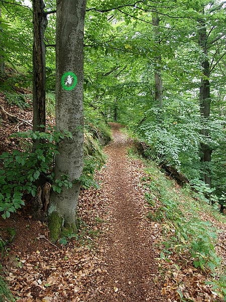
We should also not go too detailed. Hence, I really see a few options on the legend as enough. “Wide path” would be a regular path:
I think this is something most people would think of when they hear the term “path”.
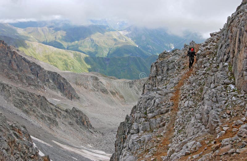
“Narrow path”, Steig, would be something like
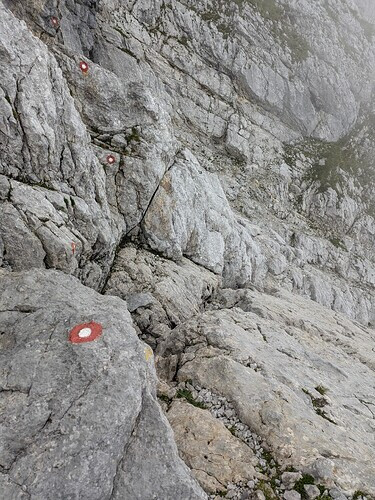
and then “Traces”, Spuren, would cover the rest, like

This, basically, covers the “pathless paths”. The routes that are used for communication but have no visible path, only traces (markers, footprints, cairns). These are not open areas on which it is possible to walk, which don’t need to have a way drawn on them, anyway.
The other sub-categories would be there, that are not strictly path. I wonder if Via Ferratas should move here.
Karrenweg, or “single-track” would cover the upper end, where it is possible to ride a bike relatively normally (average person/bike), or push a wheelbarrow, scooter. This includes a combination of width, smoothness, visibility, etc.
And we should perhaps strive to have longer stretches marked as one type, not change it every 5 meters. “Longer” being from junction to junction, probably, or at least at some “significant” spots, i.e. going from grassy part onto rocky terrain or wherever the path changes characteristics considerably, acknowledging that it is not a precise science and doesn’t have to be within a meter of distance.
Edit: The names are just a reference, not a concrete suggestion.
Also, I’ve used mostly images from the mountainous areas but that is not a limiting factor. It could be anywhere. Hope you get the idea.
Edit 2: Perhaps a general guide could state something like “take the average of the nearest 20-50m, both ways)” to decide on the tag. If there are very narrow points on an otherwise wide path, mark it as a node, indicating the issue.


