Great news ![]()
The only problem is, I still need to rename the maps. I have found the Dutch tool mentioned earlier in this forum, and the developer has kindly supplier an English version called MapRenamer. However, this doesn’t seem to work on the gmapsupp.img files which I load directly into the GPS. What a pity!
Can’t you rename these maps in explorer?
No - it’s the underlying map IDs of the individual tiles within the gmapsupp.img and the family ID of the whole mapset that’s the problem.
You can try to change the Family ID with gmaptool: http://www.anpo.republika.pl/download.html#gmaptool
Ok I’m not too technical so try to speak in human talk!
Ive been using Lambertus’s maps for a while. I have a garmin scx 60 and I’m using mapsource 6-16-3. I have a windows machine that I was using vista, but have upgraded to windows 7. Since then I can load the maps but I get no detail under about 75miles. I’m thinking its a configuration issue but I can’t figure out how to fix it. I ran something on windows 7 that was some sort of configuration tool but it said it didn’t find any issues.
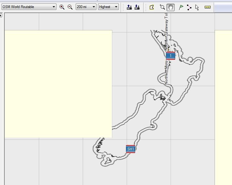
I’ll see if I can post this screen shot.
Hello,
I used a Lambertus generated map for a portion of spain during a recent travel, and I’ve been surprised to have speed camera warning messages poping-up on my Legend HCx.
Is this an intentionnal feature of the way these maps are generated, and if yes, what mkgmap commands are used to obtain this result?
I’ve had more reports of people who had problems zooming in, but when I try the same map on my Vista install the problem always disappears when zooming in and out a few times. It seems random and never persistent. Have you tried to clear the map cache (hit ctrl+g twice)?
Hey that’s cool, although I never heard of this or experienced this before… You’re sure that you haven’t installed a POI list of speedcams along with the map?
Oops, I checked the .csv file delivered together the POI file I was using and found that it covered not only France (as I needed) but also Spain. Something I wasn’t aware of.
Sorry we are getting the threads a bit mixed up here.
@ligfietser
I tried GmapTool, and it certainly allowed me to change the mapset name. I can now see on the GPS which maps I have loaded, which is a step forweard. However, the OSMs are still grouped together under “family name”, which I haven’t been able to change. This means that I can’t enable/disable OSMs individually - it’s all or nothing.
We’re getting closer, but not quite there. Any more help would be very welcome.
Max,
Have you tried to change the FID (=Family ID) of each gmapsupp.img with gmaptool?
I have a problem creating a custom set. I first tried the prebuild Netherlands map, wich works perfectly. Then, in view of an upcoming travel I constructed a set of the Netherlands + UK and Ireland with a little bit of Belgium. The result of this construction has white areas in Mapsource, it’s like Mapsource sees that I requested them, but they have no content. This includes my hometown area.
Areas I did not request have the generic “no maps” color.
Trying the gmapsupp.img I can see the information missing at my location as well.
Thinking it might be due to user error I repeated the process with a slightly larger area, but the white areas remain.
Maybe this has something to do with parts build on another server not getting assembled correctly into the end-product, or is there some step in the process I missed?
Mkgmap versions:
Custom map server: r1919
Country map server: r1867
Pre-compile server: r1929 (afaik)
It’s a bit of a mess aparently ![]()
The custom map server version is now downgraded to r1867. Can you try a small test?
BTW, I’m preparing to add the Mapnik TYP file from Ligfietser as a user choice on a third sponsored server, but I haven’t gotten PHP scripting to work properly on that server yet. It’s really coming but it needs a bit more patience. ![]()
For me, also the prebuild Netherlands map is missing tiles. The missing tiles are the ones that cannot be downloaded directly from the site. For example:
NL-Den Haag works fine and can be downloaded from this location:
http://planetosm.oxilion.nl/~lambertus/garmin/routable/13-05-2011/63241000.img
However, NL-Leiden does not work and also the individual download link does not work:
http://planetosm.oxilion.nl/~lambertus/garmin/routable/13-05-2011/63240204.img
Perhaps that helps you in fixing the problem? ![]()
Thanks Frank.
It appears that some tiles are missing on both servers. I’m not sure yet if they are simply not uploaded or that the tiles haven’t been generated, something that I will find out when I get home this evening. Till then the map generation is disabled to prevent further confusion.
If you like/want some help with the PHP coding, feel free to contact me.
Thank you, that’s very kind. The problem I’m having on the newest server is not the coding but the restrictions of the operating system (i.e. the script is not allowed to call Java to run Mkgmap, etc.).
Currently, there isn’t much coding to do really. Adding a selectable TYP file is prepared already (needs testing only) and I don’t have any specific new ideas (hint! hint!).
Which mkgmap version are you using with the typ file? They have changed some lines in the default style so I’m not sure if this typ file is up to date.
So preparing a statement to be executed by a shell script through crontab is also out of the question I assume.
Judging by my father’s experience you could probably make it more clear that there are prebuild maps he doesn’t have to wait for.
It could be whatever you advise, but if the new bits in the default stylesheet are stable then I would like to use the latest one (and allow for future updates).
Alright, I’ll try to do that. I’m not a native English speaker though, so it’s possible that I don’t express the options succinct enough. And, ofcourse, there is the additional caveat that none of the countries are available for download at the time of each new map release.
Additionally, the need for users to download countries as much as possible has been alleviated by the new servers as well.
Thanks for your input.