When building a walking route from point 55.758928, 37.610687 to point 55.7086969, 37.61758154, the route goes through the subway tracks. How can this be fixed
Can you clarify which routing engine you’re using? Because I’ve tried all three that are on openstreetmap.org and as far as I can see none of them do that.
Other example 60.035345 30.321191 and 60.035958, 30.323710. The path passes over the building. I use https://routing.openstreetmap.de/.
Well Node: 1564925175 | OpenStreetMap is shared between the path and the road which makes that a legitimate, if slightly odd, turn.
If they’re not physically connected then they should be split so they don’t share a node.

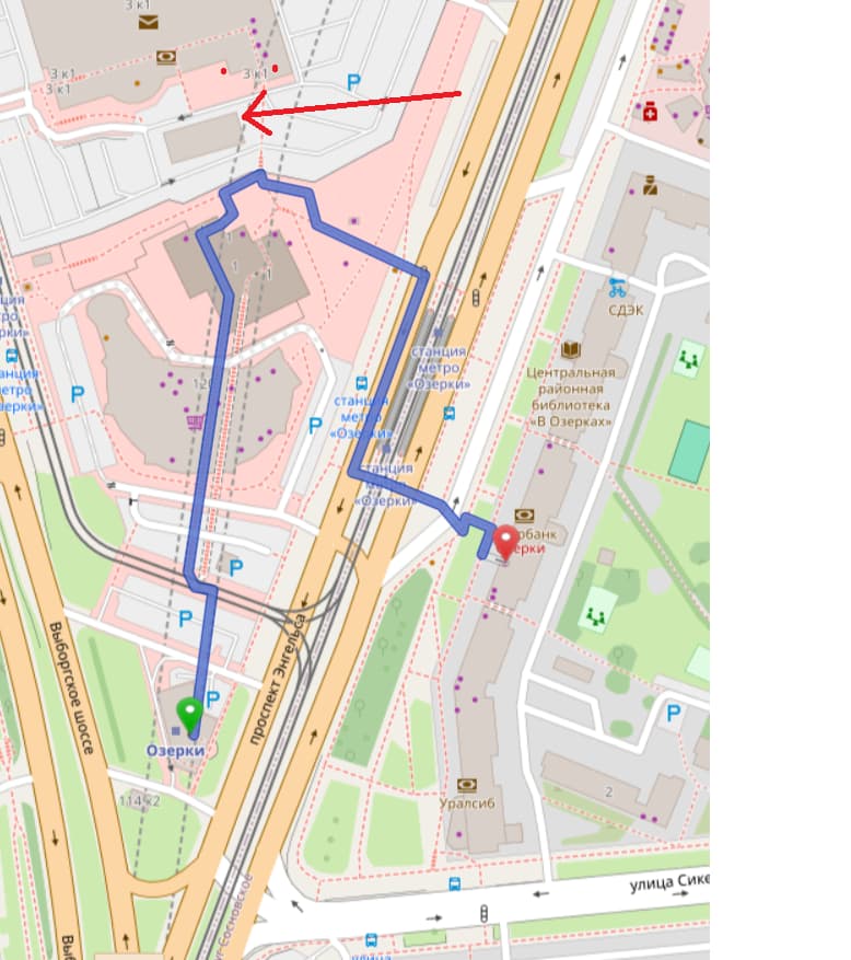
These are pictures for the first example, there is actually no road there, he is also building a walking route along metro lines, above buildings
JOSM would flag overlapping unconnected nodes as incorrect. That node is marked as a crossing which is what would need to be done to fix the error message. (It would likely be reverted back in the future)
The router however is ignoring that part of the rout is tagged as foot=no, which seems like a bigger issue.
55,758928 37,610687 and 55,77086969 37,61758154. You need to poke at the bottom of the building of the last coordinate to get such a path
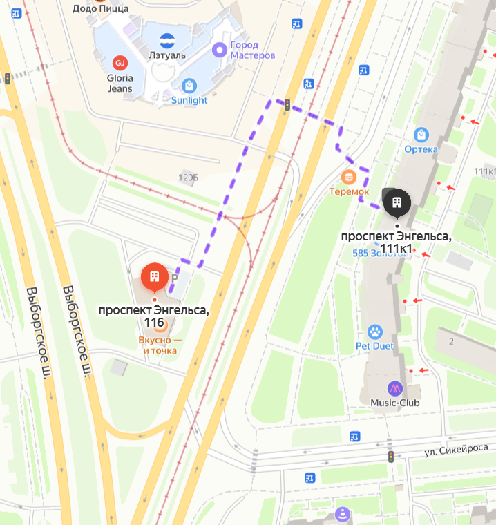
The problem seems to be that the routing leads to the underground platform instead of the fast food above:
https://www.openstreetmap.org/directions?engine=fossgis_osrm_foot&route=60.037462,30.321697;60.035278,30.321161#map=18/60.036380/30.322362
How to select an object on the top layer, excluding underground subway tunnels

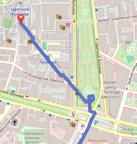
This seems to be a similar problem. It goes down to the platform and then back up again:
https://www.openstreetmap.org/directions?engine=fossgis_osrm_foot&route=55.767326,37.622010;55.770451,37.617646#map=17/55.768879/37.620299
This public transport platform is used for routing:
Probably the easiest solution at the moment is to use a router that does not do this:
https://www.openstreetmap.org/directions?engine=fossgis_valhalla_foot&route=55.767326,37.622010;55.770451,37.617646#map=17/55.768879/37.620299
1 Like
You said to the router “bring me to the steps”
and not “bring me to the service road”: Valhalla FOSSGIS Server Demo App