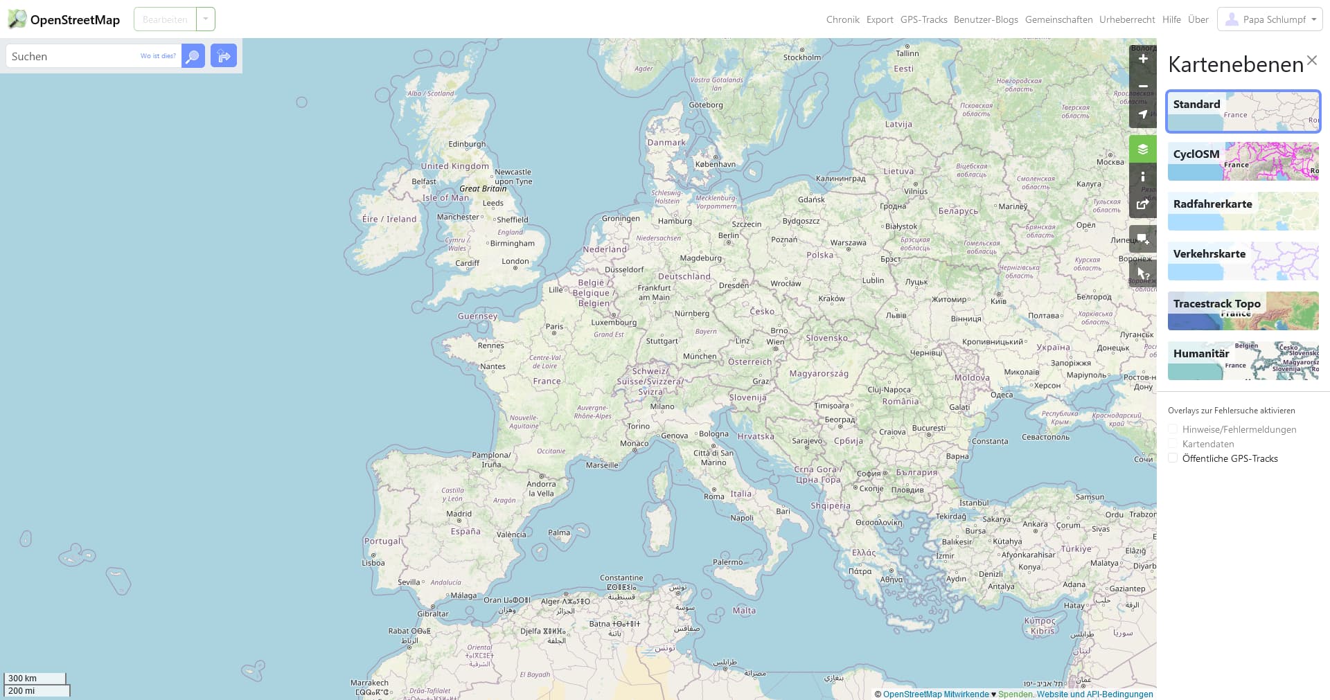
In the OSM renderer the name of oceans like “Atlantik” or “Gulf of …” (Gulf of America - Gulf of Mexico - #29 by Jules_Bertholet) did not shown in any scale. Google shows it like country names.
I think it’s important to know how it was named if I search something.
And please don’t come with something like render engine and use an other one. It schould be visible in normaly used ones.
What is the name of the Mediterranean sea? And in what language should it be displayed?
Oceans and seas are international bodies of water that usually do not have a name that is agreed upon by all countries/languages living in or around that body of water. Carto does not render everything in a single language, but rather uses the local language. This creates issues when talking about the names of things like continents, oceans, and other such features.
Yes, full approval. This is precisely the task that can possibly only be achieved by vector tiles, which display the appropriate language for an object depending on the browser language and location.
Two examples:
Your own screenshot above shows that the standard layer does not use English for countries and cities. (Except for English-speaking countries, of course).
Could I suggest that if you want volunteers to take notice of your suggestions, you start being a bit more conciliatory than “I hate Github”, “Really?”, “please don’t come with something”, “so change the settings”, etc. Right now you are not encouraging people to spend time on your suggestion.
There’s already an issue. I’d suggest to have a look at that one first before opening a new one. The responses from collaborators explain why this isn’t being rendered.
Looking at renderers that attempt to label seas suggests that even ignoring multilingual names, it is hard to come up with an approach that is actually useful and consistent, rather than giving prominence to arbitrary features that are simply distractions at low zooms.
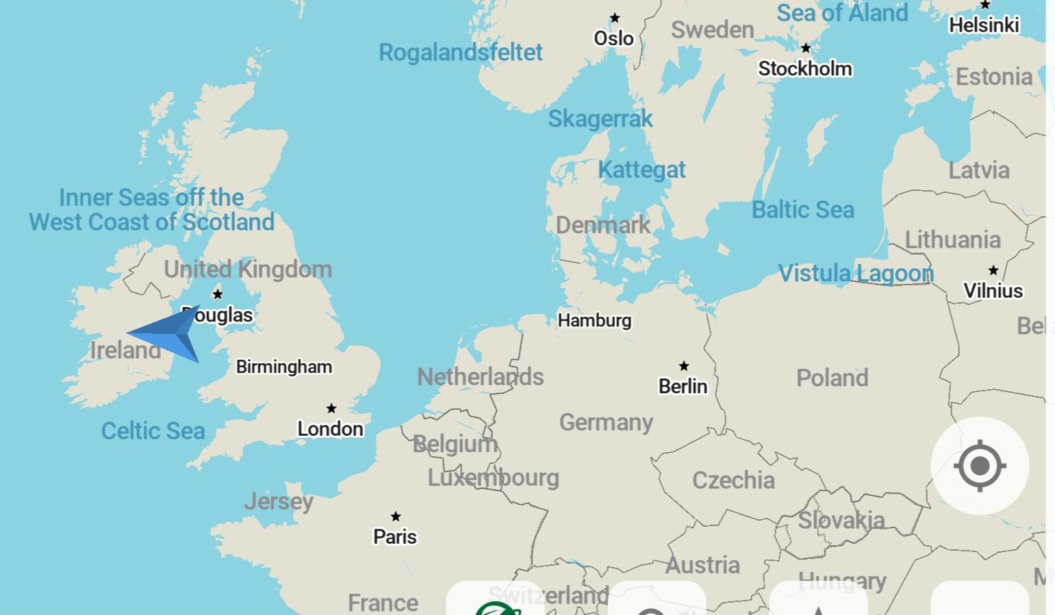
E.g. here in Organic Maps, it appears that one of the major features of Western European geography is something called 'Inner Seas off the West Coast of Scotland", which I suspect few people have heard of. (I coincidentally noticed this a few days ago before this discussion started. At first I thought it was a description wrongly used as a name, but in fact there is some support for it as a recognised name). The Vistula Lagoon is apparently very important also, but the North Sea and Irish sea don’t rate a mention.
This is not a criticism of Organic Maps, I’ve noticed similar oddness at low zooms on other maps that label seas. Does such labelling actually add anything useful?
In particular, the solution may ultimately require something beyond OSM, as long as OSM continues to model many seas as point features. There are alternative models, such as the International Hydrographic Organization’s Limits of Oceans and Seas, but replicating some of those limits in OSM would require some sort of extension to the already fragile coastline processing pipeline. Short of actual geometry, a data consumer might be able to prioritize sea labels based on Wikidata relevance scores or a hard-coded lookup table.
Not really - if I create a map from a big polygon I’ll write something to hold that name where the centroid is together with area of the polygon. If the latter was reliably available within OSM then everyone would be happy bunnies.
Or based on distance to the shore (nodes further from the shore represent bigger seas), or based on the principle that the label for a sea should never overlap with land (so labels for smaller seas, like the Vistula Lagoon, should only appear at higher zoom levels).
I think I saw a blog post on the topic, comparing different options, a few months ago but I can’t remember where.
I’m not sure what exactly Tracestrack Topo does, but it does a much better job at choosing sensible zoom levels for sea nodes than Organic Maps.
(replying to my own post, because I can’t edit it because I made it too long ago)
I actually did look at doing this, but there are actually too few seas mapped in the areas that I create maps for to make it worthwhile. The most-used tag for “area that a node represents” seems to be sqkm.
