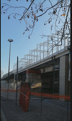
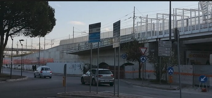
Took only 1 pic of the just installed steel cycle bridge with temp concrete blocks support in middle.
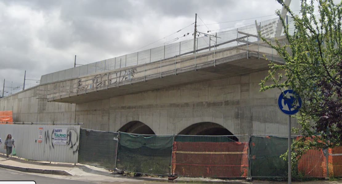
Each side there’s ramps about 150m long mounted against a rail corridor retaining wall, a short section over the historic rail arches discovered during new rail construction work in the old embankment, causing years of delay and costly redesign work, brick arches one can see from below but otherwise now in a concrete sarcophagus, the picture showing the construction state early last year, nothing more of the ramp constructed as can just be seen in the top image.)
Are these retaining wall mounted ramps bridge too, or what can it be called… balcony bridge 
(And someone last week decided to remove the construction area… the second time would you believe, and still far from finished… demolishing work further down still underway and the grass already mapped in, from a comfy recliner I suppose).
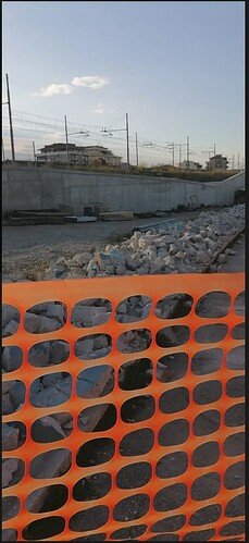
If anyone believes this is no longer a construction site, please chime in, pics 3.23.2024 circa 17:15, poor lighting again admittedly
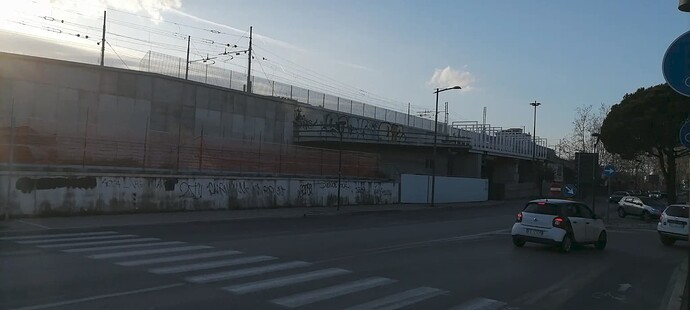
And a picture taken from the across the street showing nothing on the front of the off-the-wall construct has moved since 5/23, eliciting the thought 'Where’s the confounded bridge?"
A temp wooden safety railing is all that got added, and the excavation continuing along the rail embankment retaining wall… they’re getting to the bottom and since this is river side ground, the pumps had to be brought in as the ground is a little soggy.
Anyway, having ideas how to coin this in the future… “cycle roof” perhaps.
The OP line of the ramp being 150m long, of course incorrect… 150m north side, maybe 20m on the south side.
Not waiting with bated breath when this saga is going to end, but there’s a justification board… students have to get safely to their faculties, 'bout 3km further south of the river.
![]()
