I would like to mark a bear hang in a backcountry campground on a map but do not see a relevant category. Is there a recommended way to do this? It an arch structure with wires/pulleys that let you attach your food and hoist it up to store for the night to protect your food and the bears. Some other campgrounds utilise storage lockers.
2 Likes
Hi and welcome to OSM
I searched for “bear” in our Wiki and found Tag:amenity=bear_box - OpenStreetMap Wiki . In Alaska they called them “bear pole” which lead me to this Wikipedia article: Bear cache - Wikipedia
Maybe we should expand our Wiki regarding structures to protect food from animals on camp sites,
2 Likes
I normally use JOSM to edit OSM-data but I assume iD provides only a set of common tags as a preset. In OSM you can invent your own tag but that won’t help for data consumer to include those in their products (e.g. maps etc.).
There already is a tag describing some kind of food protection facility. Either you stick with that (even if it’s a hang not a box) or you expand the OSM-Wikipage to cover also protecting devices like poles or hangs.
It might be useful to start a general discussion here or on one of the mailing lists to hear other opinions how to tag bear_hang(s). ![]()
1 Like
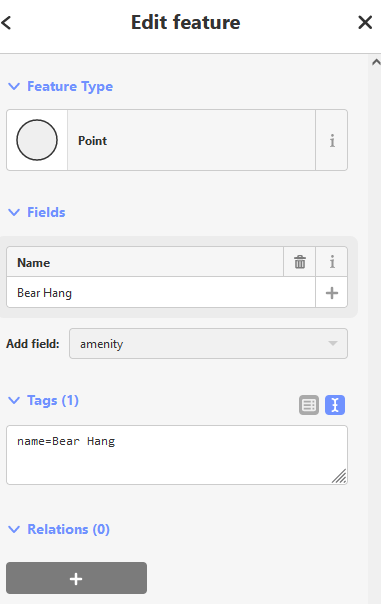
I decided to use:
amenity=bearproof_storage
bearproof_storage=hang
Where some options are:
bearproof_storage=box|hang|wire
Although a wiki page for bear_box exists, I agree with @Kovoschiz that it should be rejected since it’s too specific and doesn’t consider the possibility of bear hangs.
As per this discussion: