Hallo,
could you, please, advice which is the best aerial imagery of the Edinburgh? I want to use it to precise the crosswalks in JOSM. Thank you.
Tomas_J
“Esri World Imagery” seems to be the most up to date.
Not sure if it’s a global issue but Bing imagery saying “Error: Attribution is not loaded yet”
1 Like
There are currently frequent problems with the Bing API key for JOSM:
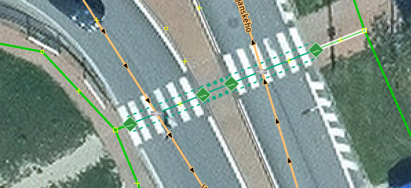
Thank you very much. I tried to use the Esri World Imagery [1], but it is still too blurry to capture all the details of the crosswalks. For example the traffic island in the middle of the crosswalk is not clearly visible although the user here [2] says there should be one. The level of resolution I need should be somewhere near this [3].
Tomas_J
[1] Esri World Imagery
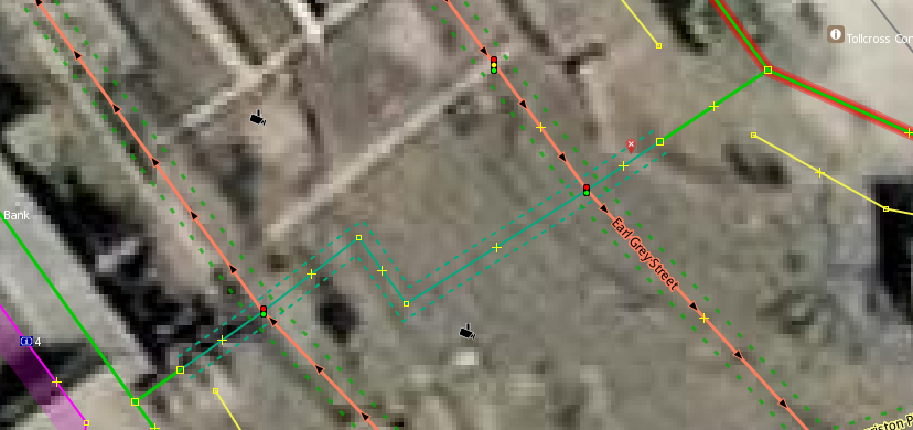
[2] note from the user
[3] Ortofotomozaika Slovakia
Edinburgh has a strong mapping community, and I would expect most crosswalks (pedestrian crossings) to be mapped or updated when they change. It’s much better to use on-the-ground information, as even the best aerial imagery can be outdated. Alignment is also going to be tricky with all the hills in Edinburgh.
The OSM community meets up about once a month (although not always advertised). They’re probably going to be meeting this Wednesday evening.
If you are in the area, I highly recommend joining them.
https://wiki.openstreetmap.org/wiki/Edinburgh
2 Likes