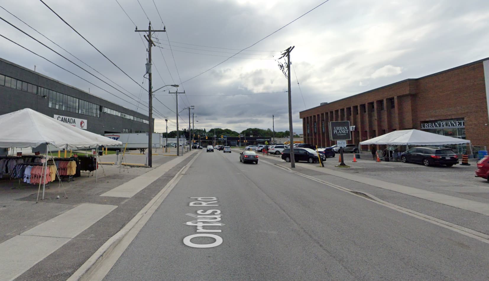
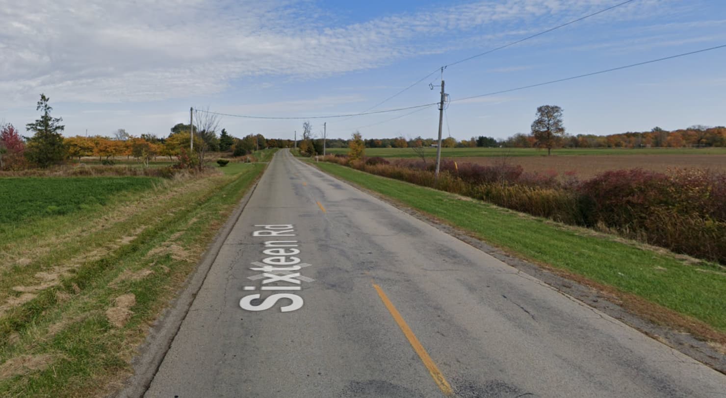
As a mapper based in southern Ontario, Canada, my understanding of unclassified roads is that they are roads that are less meaningful than tertiary but not service roads, and largely don’t have houses on them.
I don’t associate them with visual characteristics because those vary very widely. It could be a street in a city in an industrial or commercial area: paved, curbs, sidewalks, traffic signals. It could be a road in the countryside that looks like the one you posted. It could be an unpaved road through a forest.
Some examples if you want to try extracting common visual features: