Most of the answers in Community focus on restricting and prohibiting the use of certain resources for mapping in OSM but not on possible solutions to use the same data.
An alternative solution to Sentinel Hub is to use the same images via EOS LandViewer, they also generate wms links, download geotiff to use in JOSM or use the EOS API.
Since the question is related to the use of Sentinel in OSM ID I would say that=
- Create a MapBox account and a EOS LandViewer account.
- Find a nice cloudless area in EOS LandViewer, download the GeoTiff.
- Go to MapBox Studio and create a new dataset, upload the GeoTiff and serve as TMS url to link in OSM ID.
P.S. The wms urls to link to OSM ID must be configured differently than what is done with most wms linking tools.
Example=
http://osmcarto-v2.wms.geofabrik.de/demo_key?service=WMS&request=GetMap&layers=mapnik&styles=&format=image/png&version=1.1.1&width={width}&height={height}&srs={proj}&bbox={bbox}
It is made up of the base URL and the parameters to make it possible to see in OSM ID.
Base URL=
http://osmcarto-v2.wms.geofabrik.de/demo_key?
Parameters=
service=WMS&request=GetMap&layers=mapnik&styles=&format=image/png&version=1.1.1&width={width}&height={height}&srs={proj}&bbox={bbox}
To take into account =
&layers=xxx refers to one of the layers present in the wms, in this case “mapnik”, the layers are obtained by checking the capabilities of the wms, this is done by adding the parameters “request=GetCapabilities&service=WMS” to the Base URL of the wms =
http://osmcarto-v2.wms.geofabrik.de/demo_key?request=GetCapabilities&service=WMS
P.S.2 It should be noted that although OSM does not allow the use of Sentinel Hub PlayGround or Sentinel Hub EO Browser which are web platforms, it does not say anything about your Sentinel Hub account in which you can generate wms to link to OSM ID.
And with that in mind I’m going to use my wms URL (one month Sentinel-Hub account) to show you the configuration=
wms url=
https://services.sentinel-hub.com/ogc/wms/you-token-xxxxxxx?service=WMS&request=GetMap&layers=TRUE-COLOR-S2L2A&styles=&format=image/png&version=1.1.1&width={width}&height={height}&srs={proj}&bbox={bbox}
You must use your own token.
P.S.3 For the purposes of claims and prohibitionist comments from readers of this thread = “I only linked the Sentinel wms URL to OSM-ID, I DID NOT USE ANY SENTINEL IMAGE TO MAP”
P.S.4 You are responsible for checking if the images from your Sentinel account can be used for mapping in OSM, I just show you the process, the rest is up to you.
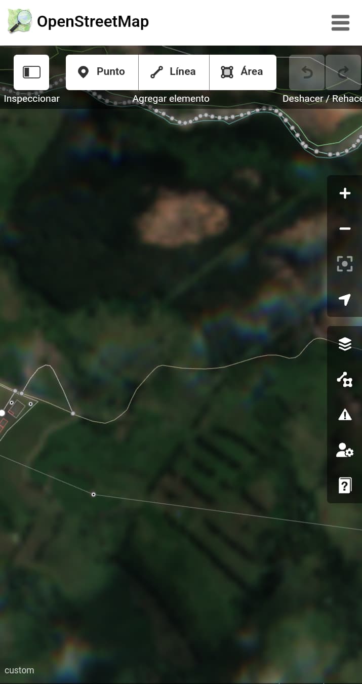
Sentinel in OSM-ID