I’ve flagged this so that a moderator can hopefully move it (and this reply) to a more relevant place.
I’ve no idea where (or even whether) an osmium-tool windows binary exists, but expect that you’d be able to use the regular one under WSL.
I’ve flagged this so that a moderator can hopefully move it (and this reply) to a more relevant place.
I’ve no idea where (or even whether) an osmium-tool windows binary exists, but expect that you’d be able to use the regular one under WSL.
You may wish to add tilemaker, with v2.3 released this morning: GitHub - systemed/tilemaker: Make OpenStreetMap vector tiles without the stack
Yes, I don’t see a lot of rationale for including Komoot but not cycle.travel.
Are the other criteria written down anywhere? I’m trying to work out whether some of the map styles or other stuff written for QA that I’ve written would qualify.
The only thing I see at the top of the page is “This list represents a compilation of many software products that are important in OSM environment. Be it for developers or users.”.
Thanks for contributing to the community. You might want to ask this question in a different thread, or create your own thread, since this thread is unlikely to deliver to you the answer you need.
Actually, your question has just been asked and answered elsewhere ![]()
I had tilemaker in my database but for some reasons i disabled (hided) that entry some month ago.
Don’t remember why ![]()
will add it today.
Mostly it should impress me ![]()
some vague criteria:
Just make a suggestion and i’ll check it.
The OpenStreetMap Software Watchlist has been updated today.
Added (A) or modified software:
The following software has been removed today:
Walter aka wambacher
The OpenStreetMap Software Watchlist has been updated today.
Added (A) or modified software:
Walter aka wambacher
btw: Added using the Discord API with a private API key ![]()
The OpenStreetMap Software Watchlist has been updated today.
Added (A) or modified software:
See https://wambachers-osm.website/SoftwareWatchlist.html
Walter aka wambacher
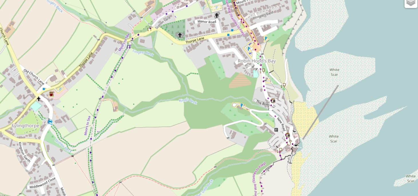
I’ve just made a new release of the code behind map.atownsend.org.uk:
Of particular note are the wider variety of natural area and historic features that are now shown.
There are releases for four repositories - the lua code that does all the hard work, the map style that determines what it looks like, the map legend and the website for the map itself. See this diary entry or the changelog for more details.
The OpenStreetMap Software Watchlist (OSM Software Watchlist) has been updated today.
Added (A) or modified software:
something missing or wrong? mail wambacher@posteo.de
Walter aka wambacher
The OpenStreetMap Software Watchlist (OSM Software Watchlist) has been updated today.
Added (A) or modified software:
something missing or wrong? mail wambacher@posteo.de
Walter aka wambacher
The OpenStreetMap Software Watchlist (OSM Software Watchlist) has been updated today.
Added (A) or modified software:
something missing or wrong? mail wambacher@posteo.de
Walter aka wambacher
The OpenStreetMap Software Watchlist (OSM Software Watchlist) has been updated today.
Added (A) or modified software:
something missing or wrong? mail wambacher@posteo.de
Walter aka wambacher
The OpenStreetMap Software Watchlist (OSM Software Watchlist) has been updated today.
Added (A) or modified software:
something missing or wrong? mail wambacher@posteo.de
Walter aka wambacher
The OpenStreetMap Software Watchlist (OSM Software Watchlist) has been updated today.
Added (A) or modified software:
something missing or wrong? mail wambacher@posteo.de
Walter aka wambacher
The OpenStreetMap Software Watchlist (OSM Software Watchlist) has been updated today.
Added (A) or modified software:
something missing or wrong? mail wambacher@posteo.de
Walter aka wambacher
The OpenStreetMap Software Watchlist (OSM Software Watchlist) has been updated today.
Added (A) or modified software:
something missing or wrong? mail wambacher@posteo.de