There are currently 2,244 according to taginfo.
Are these reliable enough & precise enough to keep?
If so, we should properly document it with a wiki page. If not, maybe it’d be good to delete them?
I’ve been toying with adding postcode boundaries (boundary=postal_code) enclosing postcode points in the NSUL layer, which would probably supersede them.
As I understand it, those “postcode centroids” come from old and incomplete data. Even if they were accurate and up to date, they’d be entirely artificial constructs, and so wouldn’t belong in OSM. I think they should be removed (after appropriate discussion and concensus).
There’s also no official concept of postcode boundaries in the UK. Postcodes exist only as assignments to addresses. So again, I don’t think such artificial post code boundaries belong in OSM. (In any case, you’d actually have trouble trying to create boundaries, due to large-user postcodes, non-geographic postcodes, various other anomalies.)
As I understand it, those “postcode centroids” come from old and incomplete data. Even if they were accurate and up to date, they’d be entirely artificial constructs, and so wouldn’t belong in OSM.
are they fundamentally different to place nodes, e.g. place=town or place=country?
They are totally different. Towns and villages generally have the same first part of the postcode, so all of my town is SY4 5 but each street has it’s own postcode.
To make boundaries even more complicated a postcode only applies to up to about 40 addresses. For example my street has 3 postcode. It is common to have different postcodes for each side of a street but at some point addresses on the same side will have different postcodes. Working out where they change is not a trivial task in the absence of open data.
I don’t have a strong opinion on the boundaries. I may lean towards adding them if they can be technically and legally. They may not be official in GB, but they exist in some fashion. And OSM has decided that the data is useful, we shouldn’t exclude the country. The rest of the world has to normalise there data to OSM/GB concepts all the time. Then again, if we had enough addr:postdcode, can’t they be computed? How important is it that we store them?
postcode centroids aren’t physical, we should delete them
Instead of deleting them, we should just add them to something physical, eg a building.
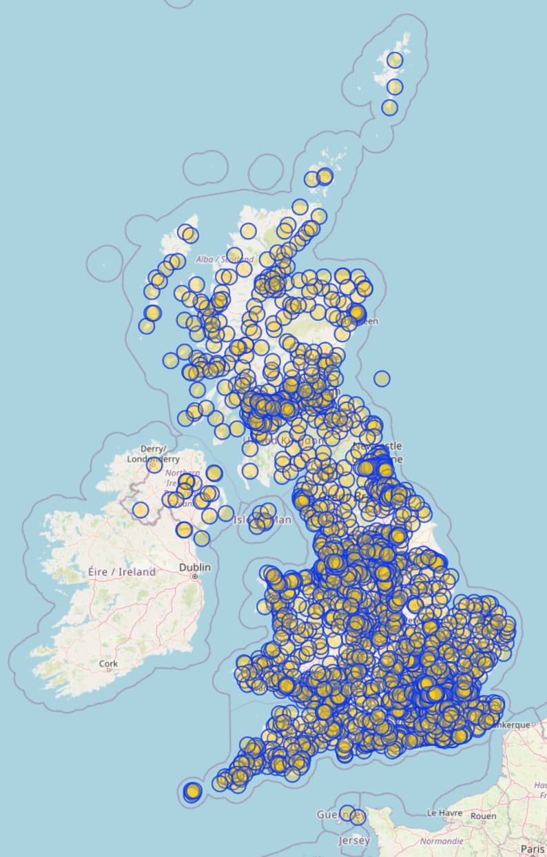
is there still interest in this topic? I’ve generated a map of the postcodes (units, districts, areas) based on the most recent OpenUPRN, NSUL and Local Authority District maps. All those are under the OGL so I assume they may be useable in OSM.