Hi,
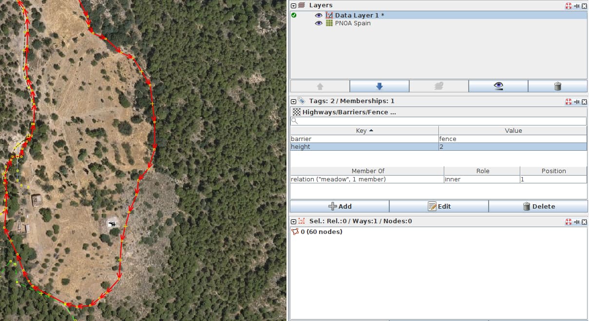
I want to tag an area that is surrounded by a fence. I have been reading in the documentation that you should set the way as barrier=fence and then create a relationship of type outer for the landuse=meadow. Is this correct?
Thanks in advance!
Hi,
I want to tag an area that is surrounded by a fence. I have been reading in the documentation that you should set the way as barrier=fence and then create a relationship of type outer for the landuse=meadow. Is this correct?
Thanks in advance!
Hello and welcome to the community ![]()
there’s also the possibility to just create the polygon and set landuse=meadow + fenced=yes
See here fenced | Keys | OpenStreetMap Taginfo
You can follow on through to the wiki using that link, too
happy mapping
silversurfer83
If it was me doing it, I’d create two objects. One for the area in the middle, and one (using the same nodes) as a fence.
Reasons for doing it this way include
leisure=track or barrier=hedge there is no ambiguityThey say fenced is deprecated.
https://wiki.openstreetmap.org/wiki/Key:fenced
I do always as it is said on that page: just draw the polygon (e.g. meadow, indu.area…), and add barrier=fence (or hedge or wall).
It is the easiest and fastest way. And there is not much probability it will change in future (zones do not move too much)
Drawing an extra fence around is 2x the effort and might add even more effort later when some more nodes are connected over time. Might be useful when e.g. the meadow and fence are not at same boundary.
Multipolygon is also a dood idea, and it represent the best the actual situation, but might be much more complicated for others to understand.
Not really, you can use F in JOSM to follow another way. Basically
Keeps things simple. One way/area per feature.
Can still be simplified. Shrinkwrap works on a single object. Single click.
If you would continue to read on the next clause, it’s “under the false assumption”. fenced= is an attribute. barrier= is another feature. But it’s still not the most ideal attribute. It’s not scalable to have walled=yes etc *ed=yes corresponding to every barrier= . The closest I can think of is separation= from cycleway*:separation= .
=multipolygon is conceptually not the same in theory. landuse= is an area. barrier= is linear. There can be different barrier= , and different attributes of =fence , along the perimeter. So you can still have 1 continuous =meadow way , with multiple coincident barrier= sections on it.
I think that you might need to translate that somewhat…
Presumably you’re referring to some OSM editor - if so, which one? Are you referring to a plugin that is available for that editor? If so, which one, and how do users get it?
It seems to be deprecated as one user has commented. Thanks you!
I will finally perform this way. I think it follows the openstreetmap policy better, although it can be a bit tiring to do if you don’t have much control of JOSM, thanks!