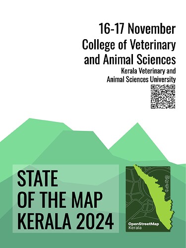
We’re thrilled to announce that our OpenStreetMap Kerala Annual Community Meetup 2024 has now been officially branded as State of the Map Kerala 2024! Heartfelt thanks to the OpenStreetMap Foundation for swiftly approving the license—this may be the first time a regional State of the Map is hosted in India, and possibly even globally!
Event Details
- Location: College of Veterinary Science, KVASU, Pookode, Wayanad, Kerala, India
- Dates: November 16-17, 2024
This year, we’re excited to partner with Meta, FOSS United, TomTom, DhiSigma Systems, Kerala Veterinary and Animal Sciences University (KVASU), and National Service Scheme. We’re also grateful for the support from Sahya Digital Conservation Foundation, Geominds, and community partners Wikimedians of Kerala User Group, OpenDataKerala, Swathanthra Malayalam Computing Community, and the OpenStreetMap India Community. Updated List availabile here.
Find full event details on our Wiki page, and feel free to ask questions in our community channel.
- Ticket Registration: Make My Pass
- Call for Talks: Submission Form (Deadline: November 4, 2024)
- Scholarship Applications: Apply Here (Deadline: November 7, 2024)
Join Us for an Inspiring Two Days
Whether you’re a mapping enthusiast, an OSM contributor, an open data advocate, or simply interested in learning more about OpenStreetMap, this event offers something for everyone! Join us as we connect, share knowledge, and collaborate to shape the future of mapping in Kerala.
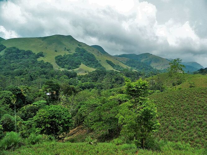
This year, Kerala witnessed devastating landslides in Punjirimattom, Mundakkai, Chooralmala, and Vellarimala villages in Meppadi panchayath., Wayanad. The landslides were caused by heavy rains that caused hillsides to collapse, destroying the areas below. The disaster was one of the deadliest in Kerala’s history, with reports of over 420 fatalities,397 injuries, and 118 people missing. Our local OpenStreetMap community played a vital role in the disaster relief efforts, and OSM data proved invaluable in field-level applications for response and recovery. Moving forward, we aim to expand our open mapping volunteer base, onboard more organizations and institutional support, and secure funding to improve the quality and accuracy of our mapping for future disaster preparedness. With the ongoing impacts of global warming and climate change, the need for high-quality, up-to-date mapping is more pressing than ever to help mitigate disaster risks and improve response times.
With the Western Ghats being an ecologically sensitive region, this year’s State of the Map Kerala will focus on initiatives for mapping, GIS, open data, and the use of technology for humanitarian needs and community resilience. Let’s work together to build a disaster-resilient Kerala through mapping!
Event Highlights
- Pre-Event Programs: We’re organizing pre-event activities with help of local mappers for encouraged to volunteer and join our programs.
- Talks and Projects : Talks about on going projects.
- Lighting Talks: Shorts talks or experience sharing from community .
- Workshops and Panels: Participate in discussions, hands-on workshops, and expert-led panels.
- Networking and Knowledge Sharing: Connect with like-minded individuals, share experiences, and discuss the latest in GIS and open data.
- Wikidata 12th Anniversary Celebration: Introduction to Wikidata and linking it to OSM, Cake cutting and celebration with Wikimedians of Kerala Community.
Our journey started with the first annual meetup in 2022 at the Regional Resource Centre, KITE, in Ernakulam, followed by the 2023 gathering at the Kerala Sahitya Akademi, Thrissur, which saw around 100 mappers in attendance. As we continue to grow, we’re excited to see even more active participation this year.
Let’s come together to make State of the Map Kerala 2024 a memorable and impactful event!
Manoi Karingamadathil
Behalf of Organizing Committee, SotM Kerala 2024


