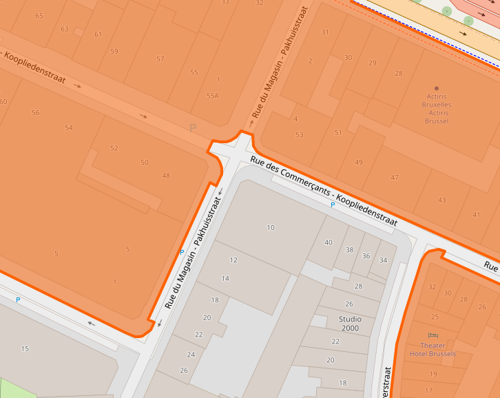
I’ve seen a place in Brussels doing that and I was wandering if that was correct.
Whatever you do, please do not reuse the same nodes for landuse=residential areas and sidewalks and/or highways, i.e. “glue” them together. While gluing may look neat in the first pass, someone will eventually come and want to split the highway for a legitimate reason (change of name, maxspeed, or whatever other attribute), and this approach will force them to split the area boundary as well, leading to a messy bunch of multipolygons. Or they will define a route relation over the highways, tangling them with the landuse even further…
Personally, I prefer leaving a “hairline gap” between areas and highways/railways/waterways/etc. that are used as their demarcations. (But I do glue adjacent landuse/natural areas)
landuse and highway should be considered separate “layers” or “namespaces” of the map, but we don’t have this concept in the data model. But at least, try to keep them separate in the data, as a service to fellow editors. I can’t even remember all the crazy ways people used to glue paths to boundaries to streams to forests to lakes… that took ages to disentangle (or just delete and start anew).
I know it is widely done. However, in ny opinion this is wrong. You may include the road in the landuse=* or exclude it. But you can’t say this part of the road belongs to the landuse and this not.
For me this is tagging for the render.
To define parts of the road there is area:highway, which is at least used by some map makers.
There is a mapper who did this in my area, see here… Sure, it “looks” great but it probably takes too much time for something that is semantically incorrect.
There are different intepretations on how to map landuses, either as the rough area where they’re used or split into blocks.
IMO If I had to map landuses per block, I’d only map them so far up to the highway i.e. excluding the carriageway and pavement but including the gardens, the buildings themselves and all the streets and driveways leading into them.
Stricto sensu i agree but :
- reside extend the obligations of “maintenance” until the end of the sidewalk (Art 22 §1 of general police regulations of Brussels city, same in other municipalitiy). So by extensions drawing landuse=residential based on UrbisAdmin seams to me not incorrect as that reflect where your responsability as owner, tenant end.
- that make a common criteria to define the outline of the landuse even it’s a little subjective and cultural point of view (in some neighborhood sidewalk is a extension of your living place).
ÔMan : That’s being said there is no common pratice and that’s also depend of the region, maturity of the map.
i think that the must important think is to avoid connecting landuse on routable objects (streets , cycleway etc…)