I’ve ran into the issue that depending on when something was made or who made it they all seem to never line up quite right. I would like to fix it if possible, but I’m not sure if I’d be introducing some offset errors of my own, as GPX traces are scarce here.
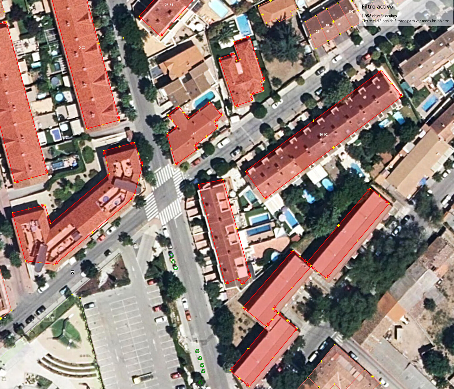
For the main image source I’m using (PNOA Spain) the satellite seemed to be spot-on on top when it was taking pictures, but some buildings are misaligned, like the ones highlighted here (especially the large rectangular ones):
Other edits in the same changeset all have this same offset that none of the imagery providers have by default (even if they use different source photos the bases of buildings stay basically in the same spot).
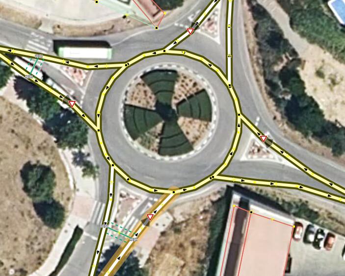
If I try to align the imagery to the offending buildings, other features elsewhere get misaligned:
I have found the heatmap by “Strava” very useful in many areas (those where they have users, naturally), as it aggregates much more gps recordings than what we have collected in OSM, even after they remove everything older than a year.
It is a proprietary service and you have to register, but usage is free. There are browser extensions to simplify creating current URLs to access the data (containing your individual keys) as you have to do it frequently (currently about every 2 weeks).
Imagery alignment is a very localized thing. Just because it is correctly aligned in one area, does not mean that an area a few meters away is correctly aligned.
If you have a truly better imagery source, that is it has a lower error (e.g. CE90=5 meters vs CE90=10 meters), then you could adjust existing features. However, it is likely that the sources have similar levels of accuracy, and they just happen to differ. In this case, adjusting the existing features does not make the data any better, it simply makes the map look better when viewed against that specific imagery source at this specific time.
If you have the time and motivation, you could also do the following:
Go out and record a bunch of GPS traces to establish a “ground truth”. They’re easy to upload to OSM’s database. (Or perhaps there are already some in your area!)
When editing, offset imagery to line up with GPS traces.
Then you can confidently move OSM features to match aligned imagery.