iets voor wiki ? misschien een ‘schoolstreet area’ of een node op plaats van (tijdelijke) hekafsluitingen, en daartussen schoolstreet=yes met de uren van ‘afsluiting’ ?
In de praktijk: ja.
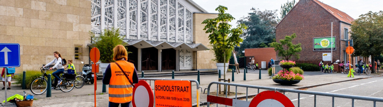
Veelal zijn het vrijwilligers die een slagboom neerlaten, of een nadar-hek op de weg zetten als fysieke toegangsverhindering.
Wanneer er geen school is, zijn die mensen er ook niet en is er geen afbakening van de zone.
EDIT:
Ik maak de nuance ‘in de prakijk’, het is me nog niet bekend of de wetgever deze keer praktisch heeft gedacht.
Het voorbeeld van de bakfiets is al zo’n grijze zone, juridisch gezien is het maar een fiets als die precies twee wielen heeft. Wat me dan weer doet twijfelen aan een kind met steunwieltjes.
I’d like to suggest we in fact start using designation=schoolstreet
Reasoning: people are just mapping motor_vehicle:conditional, but that misses:
vehicles forbidden except for bicycles
“aangelanden” still welcome
priority vehicles still welcome
vehicles with a permit still welcome
speed limit adjusted during the inaccessible hours
While it is absolutely useful to add all that to the way itself, but we can’t expect mappers to know about all this. Just like cyclestreet, it seems better to document this on the wiki. This can only work if there’s an explicit tag to help with QA. Hence I’d propose we add designation=schoolstreet to the wiki.
I had expected to be able to find most of the schoolstreets with
But even without the school holiday exception, that doesn’t really seem to return many of them. Maybe people used access, or vehicle? Or perhaps the lack of an easy tag meant not many of them are mapped?