Hello,
I mapped internal roads of a military area.
I’ve choosen “highway=residential” and “access=destination” (don’t know if it’s correct).
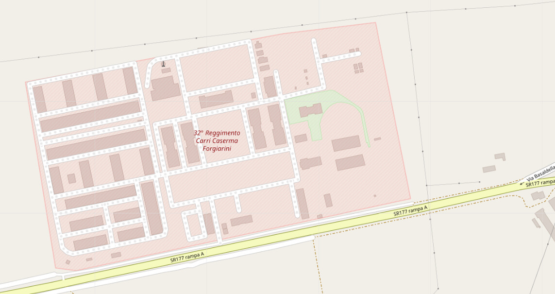
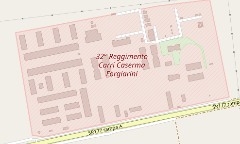
The real problem is that roads seems to be behind area polygon or not rendered properly (as visible in picture).
Have I done something wrong?
Is there a way to put the polygon behind the roads?
Thanks

Nothing wrong, it looks like your military area goes across 2 render tiles, one updated, the other not. If on Windows try Ctrl+F5 keys to force a refresh.
As @SekeRob said. ![]()
btw: It’s always good to post a link to the area in question. ![]()
1 Like
My Vivaldi browser is Chrome based and shows this which of course is a fresh fetch, nothing in cache. (Logged into the OSM site.
Different zooms often need additional cache refreshes
1 Like
Ok, this is the area:
https://www.openstreetmap.org/#map=17/46.09928/12.84282
i’m using chrome,
If i’m logged in i have this strange rendering error where streets sometimes disappear (while zooming and/or panning)
If i’m not logged in everything seems fine. ![]()
I would suggest that highway=service + access=private would be a better choice?
Also noticed that most of the buildings on the Base are tagged as factories, which should probably also be updated?