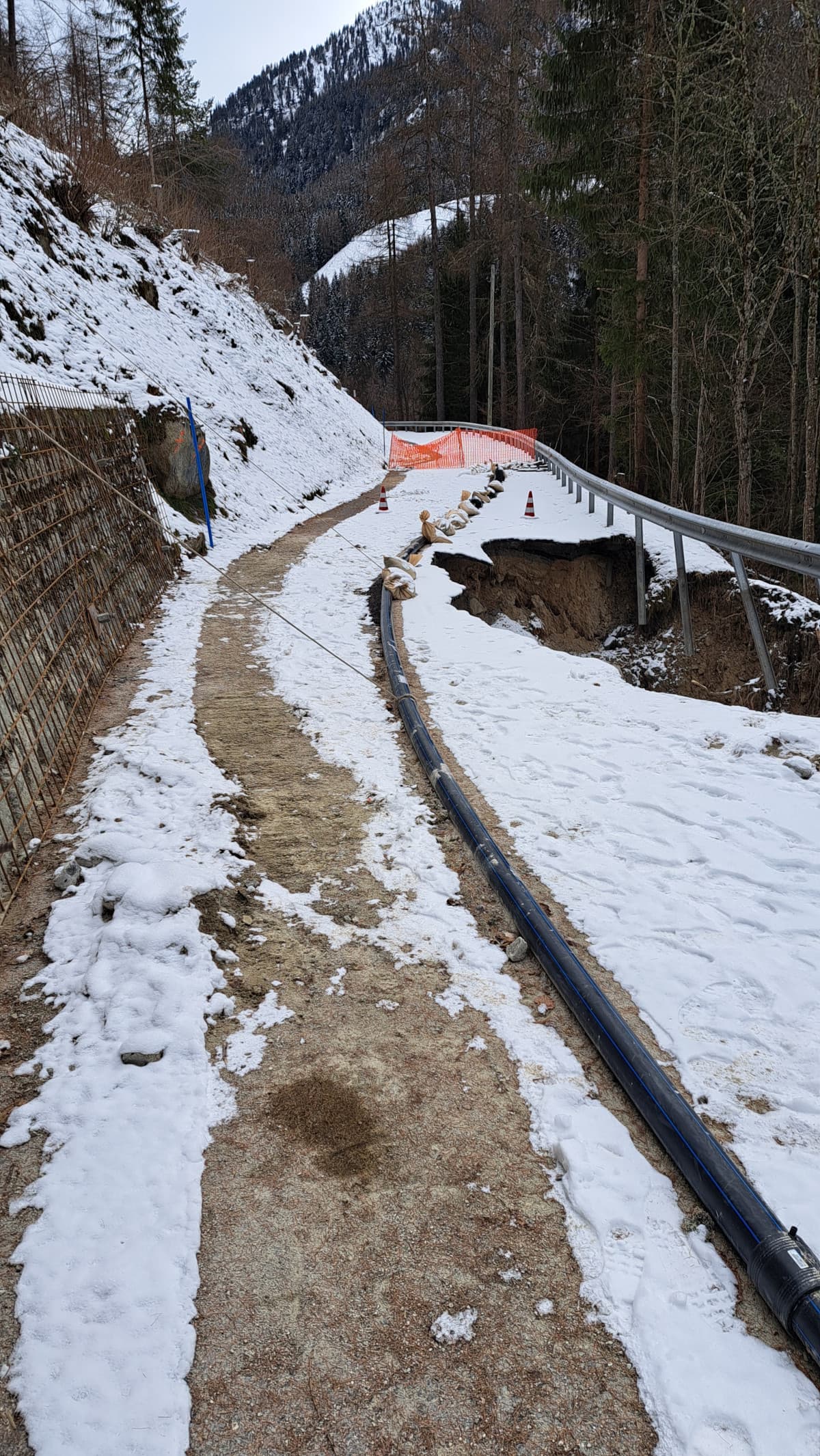
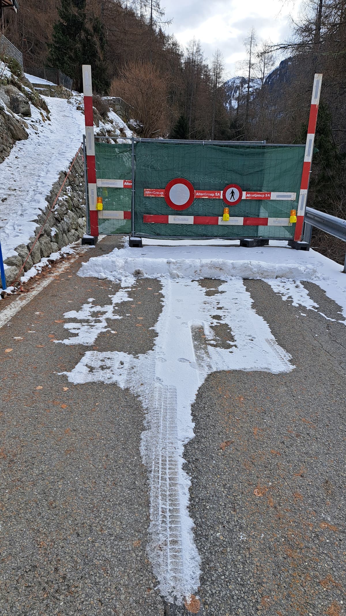
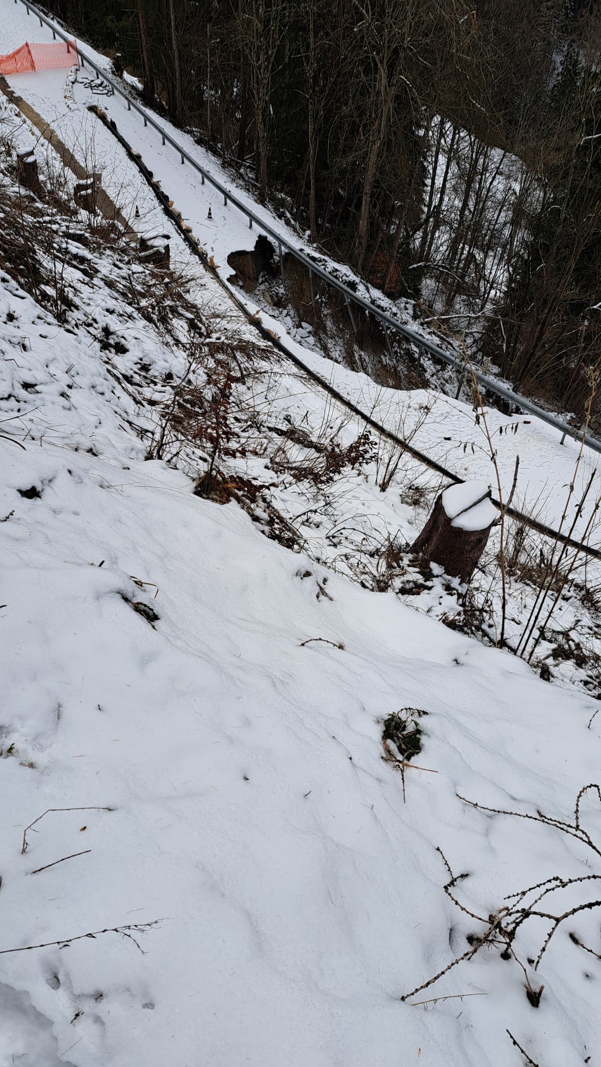
I went today to the place where the road was destroyed by the landslide. I made some photos and recorded the coordinates. The road is damaged only in this particular point. It will be closed for traffic for three months.
This is the road leading to a mountain lake. I saw that people drive all the way to the barrier, then turn back. I’ve never mapped a road damaged by landslide, still I tried to do it to prevent the waste of time and fuel. Here is the link: https://osm.org/go/0CNAgaKd~?m=
Did I do it right? Or is there any suggestions or corrections?
Thanks! I edited the note as: “Road destroyed by landslide December 2023. Expected to re-open April 2024”. I did not add the Fix-me, as I plan to visit this area and fix it myself as soon as the road repaired.