River chaos in Iraq / Syria

For http://syriancivilwarmap.com it would be good to have a better OSM basemap in the region of Eastern Syria and NW Iraq.

There is much chaos with the rivers: Many unconnected pieces and most of them lack intermittent=yes, since they are wadis:

May you please help firesoulhc and me at the effort to clean this all up? It’s some kind of humanitarian effort, but not in the focus of the official HOT.

Can you make a .osm file that covers the area you want to improve and either email it to me directly or post it here if that is possible?

A link to the area of concern is in the first post.

Hi Blake,

specifically I mean the area inside the bbox 40.7593,35.8534,42.7258,37.1559 – but there is no reason for exact borders.

Of course I could take the dumps from Geofabrik for Syria and Iraq and create a merged .osm file with osmconvert, but that would cost me some effort.

Generally it would be great if the map in this region could benefit from better HOT imagery. I think most of the Bing images are still from 2011.

Hi,

Oh, I just meant, create an empty edit layer in JOSM, draw a closed way around the area of interest and then save that layer as a .osm file and send it to me.

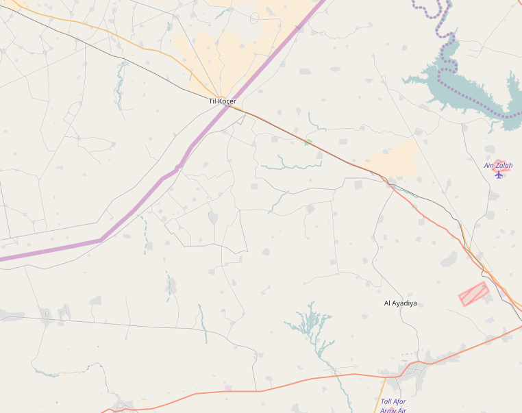
Someone has to create something like to make an imagery request.

Imagery over this area, and Syria in particular is not easy to obtain.

If you were mostly interested in roads, that would be easier, but hi-res imagery for mapping buildings, as I said, is probably somewhat difficult to get, but it does not hurt to ask.

cheers
blake