We have completely rewritten the proposal based on all the feedback we received. It should be much clearer now what we want and especially, why we think this change is a good idea. This rewrite should clarify a lot of the things.
I like landcover=trees because it is neutral regarding origin. There was long thread in Polish community part about how to map man made parks with large tree groups. Recommended - and widely used - natural=tree has implication that it is natural while parks are man made. Mapping trees individually doesn’t have sense in big landscape parks like:
Trees themselves - yes. But their placement, species, etc. were chosen by man. So park is not natural. I don’t agree with that argumentation and use natural=tree but I understand arguments against.
When mapping this I could see that it was made from concrete but not what its function was exactly. Instead of guessing this function (Barrier=, man_made= etc.) I choose to specify the material only. (landcover=concrete)
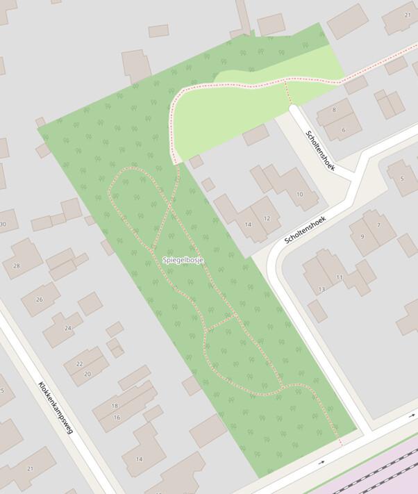
This is currently mapped using place=locality. But I believe it would be better if one area describes the forest with the name, website etc. And other areas describe what the forest consist out of. That may be natural items like lakes or caves. Or landcover items like grass, sand, or trees.
If a forest consists only out of trees or there is not enough time to map the individual landcover of a forest the landcover=trees can be added to the forest outline. Then if a mapper in the future wants to add more detail they can remove the landcover=trees and add individual features that describe the landcover in more detail.
Yeah sure. The park isn’t natural, but the tag is for mapping the trees. Not the park. That’s like saying if I put a barn in a cow pasture that the pasture is now a building. They aren’t mutually exclusive and we don’t map or tag them like they are.
Historically, several tags have been used for this - landuse=forest (one of the many contradictory interpretations of that tag) landuse=forestry (not much used), boundary=forest (also not much used, but documented).
You can use landcover=concrete right now, without accepting the “landcoer proposal V2”.
You have not provided an example of how the proposal improves anything. The proposal is not just “let just use the landcover key”.
I still see nothing that this proposal enables us to do better than can be done currently. To me, this proposal is just reorganizing tags with other tags that do the same thing.
I apologize that you might not currently see any improvement. However, I hope that you can understand that to have spent all these hours on this proposal means that we do see that improvement.
While the usage of landcover is quite substantial alone, this proposal is necessary to deprecate tags that are de facto landcovers like landuse=grass.
We welcome and value all constructive feedback on this proposal. But, addressing concerns rooted in fallacy arguments or resistance to change can be challenging.
The goal of the proposal is to create a consistent, understandable and logical tagging scheme. For new, and experienced mappers, understanding and mapping landcover/landuse can be difficult. Different tags, are located in various keys, there are duplicates in various keys.
We want to introduce a clear separation between functional and physical tags. This has several advantages:
It is easier to introduce new tags because you know where it should belong based on whether it is a functional or physical thing you want to describe.
It easier for both new and experienced mappers to find tags based on the feature they want to describe.
For data users t becomes easier to understand for the same reasons as it has advantages for mappers. Everything is more logical and easier to find.
As an example, take a forest. A forest is an ecosystem, proposed tagged with natural=wood. That ecosystem consists out of many other objects. You have large areas of landcover=trees ofcourse. Beside that, there can be clearing of landcover=sand or landcover=grass. Through that forest can flow a stream mapped with natural=water. There can be famous trees in that forest, individually mapped with natural=tree as POI etc. The natural=wood describes the natural entity forest which then consists our of smaller layers of landcovers and other entities. The natural=wood should ideally also not be rendered as a fill. The landcovers should be rendered. The forest should for example render a line marking the extend of the forest.
At first, the proposal might look as just moving some tags but that is only to support the goal of creating a better tagging system for OSM in the long term. It is true that I can now also map an area of grass. However, you often have to ask, what is the function of the patch of grass while this is not always known. Instead of incorrectly chosing one of the grass tags, you can also choose to map it as landcover=grass. That is something you can objectively say. The proposed tagging scheme supports the various levels of detail based on that the user wants to map and what is known.
In that case I make a hole in the natural=wood and tag it with natural=sand. For the river, I make a cut and put natural=water. What is the benefit in adding, on top of this, another tag for the whole “ecosystem”?
That is a good argument to start using landcover=grass. Only that.
The fundamental problem with the Landcover 2 proposal is that it is meant to push a very specific ontological view, including separating “natural” from “landcover” (that is mostly an arbitrary distinction). It is not written in mind with specific real-world problems to solve. Your proposal article in the wiki is all abstract talk.
The tag it self however does not describe the landcover. For this, landcover values like sand should be used. If the beach consists out of multiple landcovers (e.g. sand and rock), the individual landcover polygons should be mapped inside the polygon of natural=beach. This is a good example of the division between natural entities and landcovers.
Wrong. A beach is by definition an area of sand. Bare rocks against the sea is not what a beach is.
There’s places in the mountains along streams where the water goes over large rocks that people lounge around on. Maybe you could technically call them beaches since I think there’s a double entendre there with something being beached as in “being stranded on the shoreline.” No one ever uses the word that way IRL for people laying out on rocks next to a waterway. At least not that I’ve seen.
I suppose that’s what he meant. If a beach had a sand part and a pebble part, but the whole thing was called “Beach X”, then currently, there would be no proper way to tag it, because you’d have to settle for a single surface. Your options would be
Use surface=sand;pebbles, but that wouldn’t tell you where these areas are
Draw 2 beaches, one with sand, one with pebbles. That would violate the OFOOE rule.
A similar problem was just solved recently by introducing boundary=forest. There’s definitely a need to distinguish between “what’s the surface covered with?” and “where am I?”. Currently, this only works if the tagging-keys are different (like leisure=park), but you quickly run into issues with natural=wood.
A park usually consists of several parts: landuse=grass (ouch), natural=scrub, maybe some natural=wood, and of course some (high)ways through it. You can put all that into a park, because they keys don’t clash. But if you wanted to add shrub/scrub areas to a natural=wood, you’d have to “cut” them out of the wood, even though they are part of it. Like a park, a wood can consist of scrubs, shrubs, sometimes even heath, grass, sand, and so on. You could use landuse=forest to work around it, but the example shows that a forest, like a park, doesn’t only have a single vegetation, and some people want to map these fine details.
Of course, there’s also the benefit that couchmappers no longer have to map the function of grass, but rather hey, “looks like grass”. And later on, the SC-mapper is being asked “what type of grass is this?”. Well, just throwing in my 2¢
Than that area of sand is no longer part of the forest. It is a hole in a forest, like an enclave and no longer part of the larger forest. If you gave a forest a name, that piece of sand is no longer part of that named forest while it definitely should be because it is what makes up the total forest.
Which is meant to make the tagging system more consistent and better to understand. We believe that this improvement is beneficial for OSM in the long term. The current tagging system is a patch work of mixed tags and cannot be extended in a logical way. See for example the discussion about natural=shrubbery. The discussion went for quite some time about which key to use. If the proposed tagging scheme was in place, the discussion would not have been about which key to use.
And what do you mean with real-world problem? If a tagging system is not clear, it should be able to change.
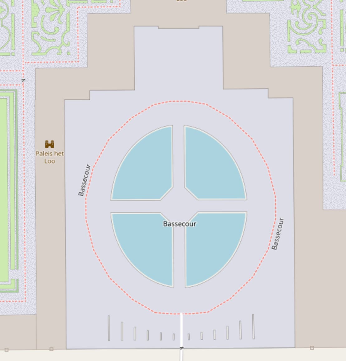
Finally we arrive at a specific problem that your proposal solves: Named forests. However, that already was solved by introducing boundary=forest as said above.
It is not clear for you.
If you do not know what “real-world problem” means and why a proposal must solve such problems to make sense, then explaining would be a waste of my time.
The authors here seem to forget that the burden is on them to convince us (mappers) that their proposal makes sense. We can reject their proposal on the mere grounds that they simply did not give a good enough reason to adopt it.
I suspect a lot of the places where landcover is useful (to the degree that it is) could just as well be or are being mapped using other tags that admittedly aren’t perfect like with the example of barrier=hedge or whatever it was. I don’t think just because some details of those tags need to be ironed out that it justifies creating a whole competing tagging scheme.
Although there was one example someone brought up in another discussion a while back where landcover might be useful. In that case it was an orchard where farm animals graze on the grass underneath the fruit trees. I think it was being mapped with landuse=orchard + landcover=grass. Which makes a lot more sense to me then something like landuse=orchard + natural=grassland does.