This post contains the text of the proposal.
Naming
As there does not seem to be much support for the path sub-types to be included in the highway=* tag and thus effectively deprecating highway=path straight away, a new tag would be used for subdivision.
TBD: The suggested names are path=* or pathway=* or route=* or trail=*
Over time, this could turn into the primary tag by dropping highway=path from ways with path/pathway/route/trail=* (written path=* for brevity in the following)
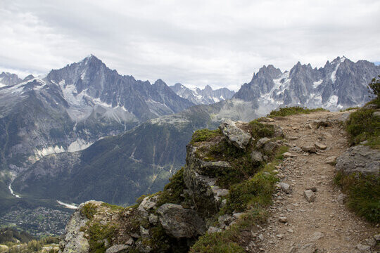
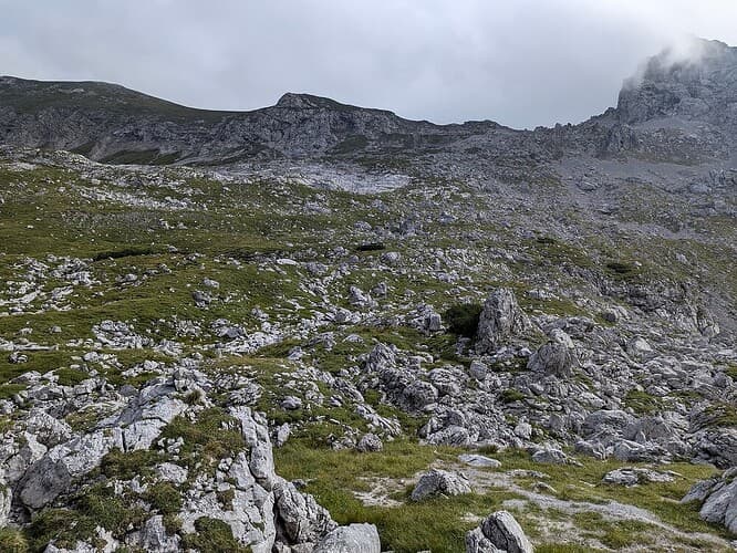
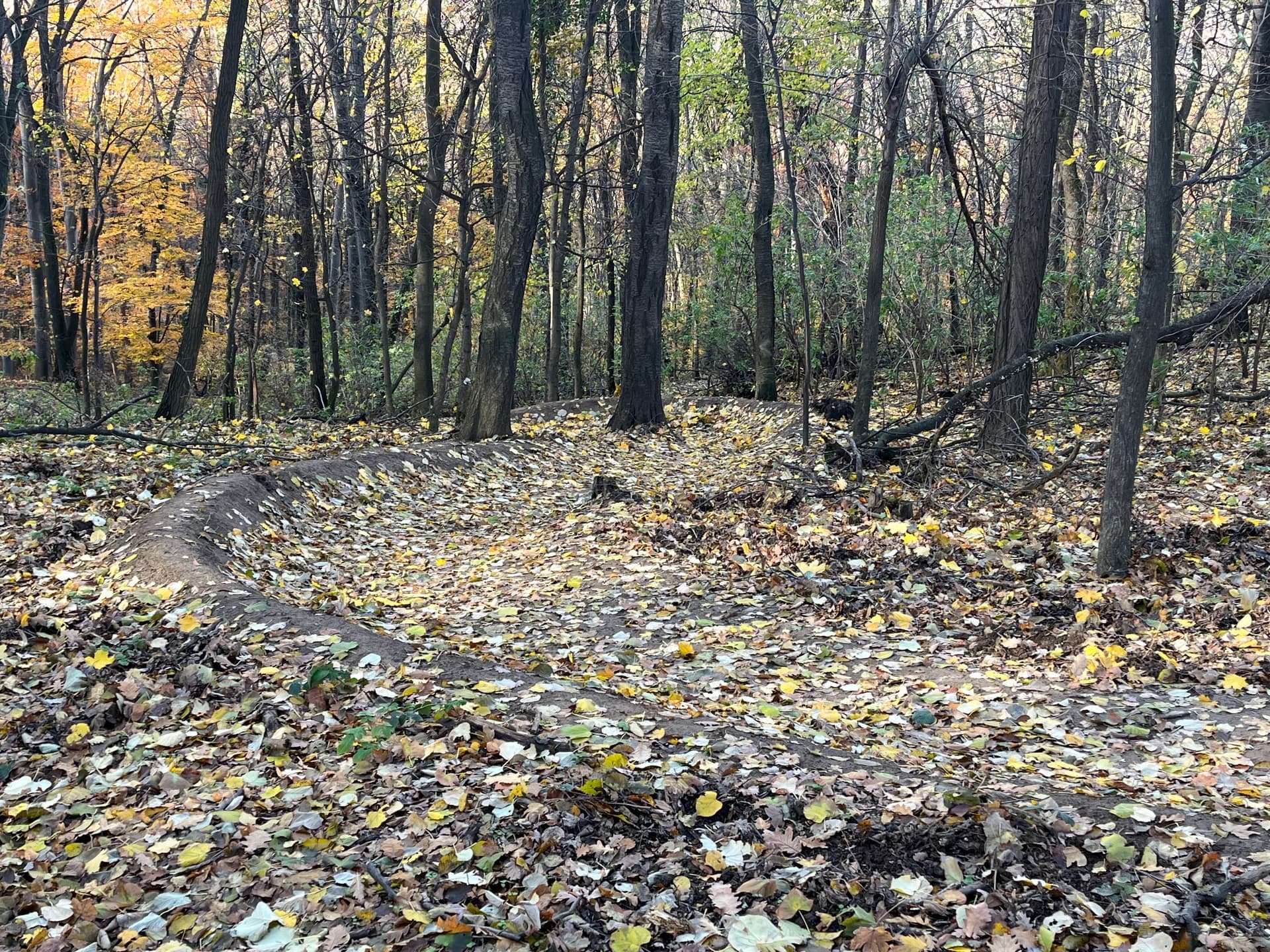
The main distinction between highway=* and path=* is that cars can use highways but not paths. Secondary distinction is that virtually all highways above track are built. On the other hand, paths are usually not built/constructed. There are exceptions to this: there are built paths in urban areas (for example ways shared by bikes and pedestrians in parks or alongside roads) or in highly managed rural or natural areas (in national parks or non-car links connecting urban areas. Non-built paths follow the terrain, they were created by people or animals repeatedly treading the same trajectory and may contain “interventions” like ladders and steps.
Requirements
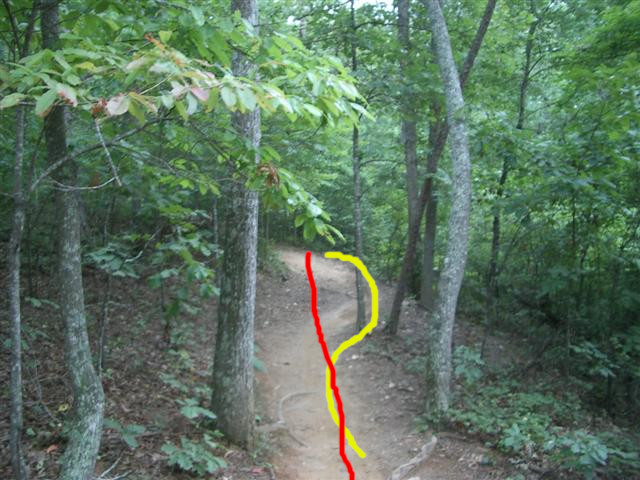
The tagging of a Path should normally happen for the whole duration of the path. That is, between the two junction points, at which it connects to other paths or roads. Exceptionally, if the path characteristics change dramatically and for a “decent” length (i.e. 100m?), or otherwise mark a significant change, the sections of a path can be tagged differently even on one leg between two junctions.
TBD: There is a suggestion to require a path subtag for highway=path (similar like subtag is required for tourism=information).
Values
The proposed values for path=* are:
karrenweg
“Karrenweg” Working name. TBD: some name suggestions: track, single-track, multi_use, motorcyclefootway, all_but_cars, two_wheels, carless, cartwheel, multi-use single track:
- Suitable for wheeled traffic but narrower than
highway=track.
- TBD: It may additionally include paths where cars are legally banned but would otherwise fit.
- Paths where motorcycles and (road) bicycles can be used with ease, both legally and practically, but also carts, carriages, wheelbarrows, quads, horses etc.
- Exceptions to legal access can be marked with, for example,
motorcycle=no.
- Should not overlap with
shared_use, highway=cycleway, mtb_single_track.
- TBD: Conceivably could be broken alongside the built/unbuilt distinction (then the main difference would be whether they are well-usable during rain), but probably not needed.
- German name for this is “Karrenweg”
- an opinion on
cycleway was provided in Request for Comments: Solution proposal for the `path` issues - #77 by ZeLonewolf. Using such a definition, cycleways would cover the Karrenweg type of path.
trail
trail (also suggested: path)
- Not generally practically suitable for vehicle traffic but suitable for pedestrians.
- Legal access mainly undetermined. Both trails where technically anything is legally permitted and trails that are allowed only for pedestrians are admissible. This would make it explicit that unconstructed
highway=footway should be tagged as trail.
- These are mostly unbuilt. Built ones fall under
highway=footway. Some lightweight maintenance like pruning vegetation and preventing erosion is fine.
- While it technically might be possible to ride a bike there (or a rugged motorbike), these ways are only really suitable for mountain bikes. In any case, when meeting somebody, it usually means the other person needs to step aside to let the biker pass.
- TBD: Can be further divided into two subsets:
easy_trail, wide_trail This is easy, allows for safe passing of people (even if they have to leave the trail itself).difficult_trail, narrow_trail Appropriate for only one person at a time. Too narrow for two persons to pass each other comfortably and safely. More demanding than easy_trail.
trace(s)
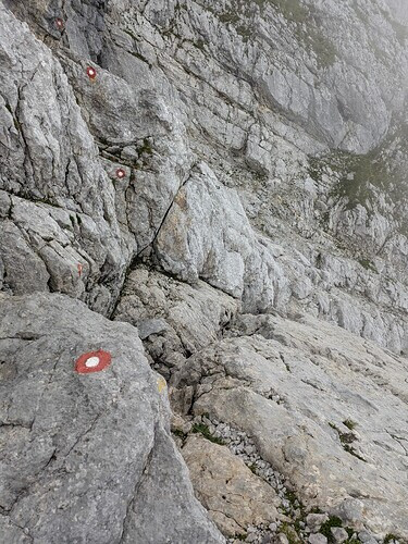
traces. Path that is barely discernible on the ground. Only trace(s) or markers visible.
- TBD: should it be split from
path right away to solve the “we followed the map and almost died” problem?
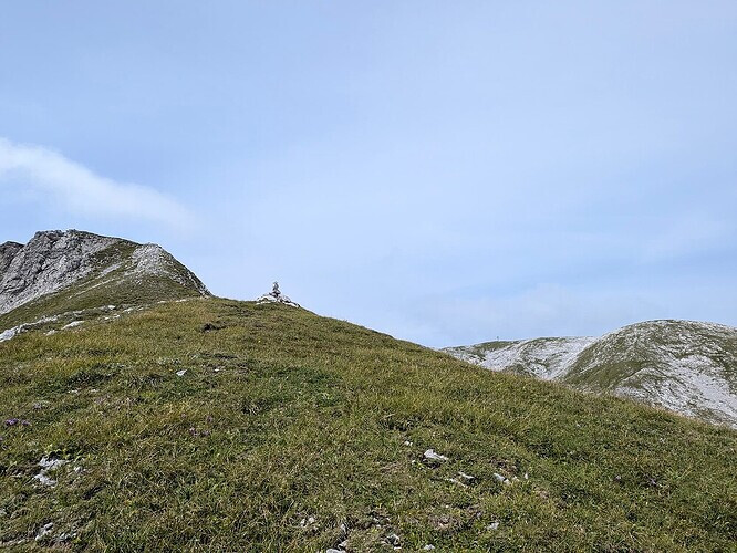
trackless
trackless (?), pathless, off-trail, cross_country,terrain: Path not visible on the ground but terrain suitable (at least) for pedestrian traffic.- TBD: should it be split from
path right away to solve the “we followed the map and almost died” problem?
Remarks
All of the above are encouraged but not required to have sac_scale (and possibly horse_scale and mtb_scale) specified. Also trail_visibility is recommended, though for difficult_trail and up, at least trail_visibility=good is the norm (which can have exceptions). traces ranges between intermediate to horrible. pathless is bad and below.
(Functionally) Specific
mtb_single_track
mtb_single_track, downhill_trail, mtb_downhill. For MTB (downhill) use.
- This is for ways specifically designed and meant for people on mountain bikes. That means they are usually modified to make the ride more pleasurable.
- Legally they do not need to be exclusive to bikes, but in practice, either by social norm, their position in the path network, signage, or their unsuitability (or even danger stemming from dense downhill traffic) for pedestrians means overwhelmingly people on mountain bikes use them.
- They need not be enclosed in some compound and they can be either for free or paid.
- They are usually managed, either formally or very informally (i.e. somebody built a MTB-specific trail guerrilla-style).
mtb_scale is highly recommended.- Encompasses and formalizes: https://wiki.openstreetmap.org/wiki/Tag:path%3Dmtb (which might need renaming).
shared_use
shared_use
- Ways that are legally meant to be shared by cyclists and pedestrians (but not motorcycles and other vehicles).
- Currently mapped as
highway=path;bicycle=designated;foot=designated (TBD: this tagging should probably over time be deprecated in favour of this tag.).
- Described here: Shared-use path - Wikipedia
- Marked with ?
snowmobile
snowmobile
- Either only existing in winter (when they then should be somewhat observable by snowmobile traces) or signed all-year-round but impractical in summer.
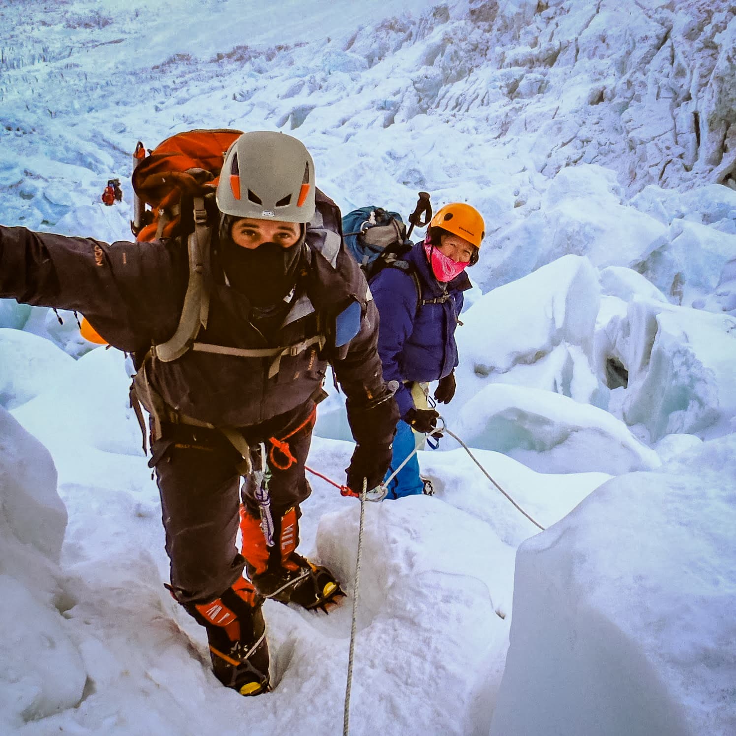
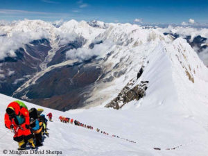
mountaineering (?)
mountaineering (in search of possiby better name)
- Outside of current scope of
highway=path, meaning they are harder than sac_scale=difficult_alpine_hiking.
- Established routes, for example to Mt. Everest, Manaslu (but this is not specific to Himalayas), or Matterhorn.
- Only routes where one would be likely to meet people when the season and weather is good should be included, by far not all mountaineering routes ever undertaken should be put in.
- Typically need mountaineering equipment like crampons, ropes etc.
- Should never be combined with
highway=path.
- Typically leads to a major summit. Sport_climbing routes that people climb mainly for the joy of overcoming difficulties (in climbing shoes, strictly on rope, usually without crampons) are covered by Climbing - OpenStreetMap Wiki
- TBD: clear differences to Paths and Climbing Routes.
Waterways
“Paths” on waterways, like snorkelling, kayaking, canoeing routes, etc. could potentially be included into the proposal or added later if/when more specification is gathered on those.
So far there was not much discussion on these categories.
Other ways (in highway)
TBD: Ways conceptually today under highway= or other keys that can either stay there or migrate to path/pathway (ideally, they have no overlap with the new tags):
via_ferrataladderstepsfootwaycyclewaybridlewaygolf=golf_cart
unknown?
The last one:
unknown or yes. Ways under path but whose detailed classification is unknown.
- Especially if the requirement for adding secondary 1tag to
highway=path is adopted, this would indicate a new path whose further classification is unknown for some reason.
- Would basically be a specific
fixme.
- Akin to existing
highway=road.
- Would facilitate moving over from
highway=path as it would help to distinguish newly added unknown paths from older not-yet-retagged highway=paths.