Providing the most up-to-date satellite images.

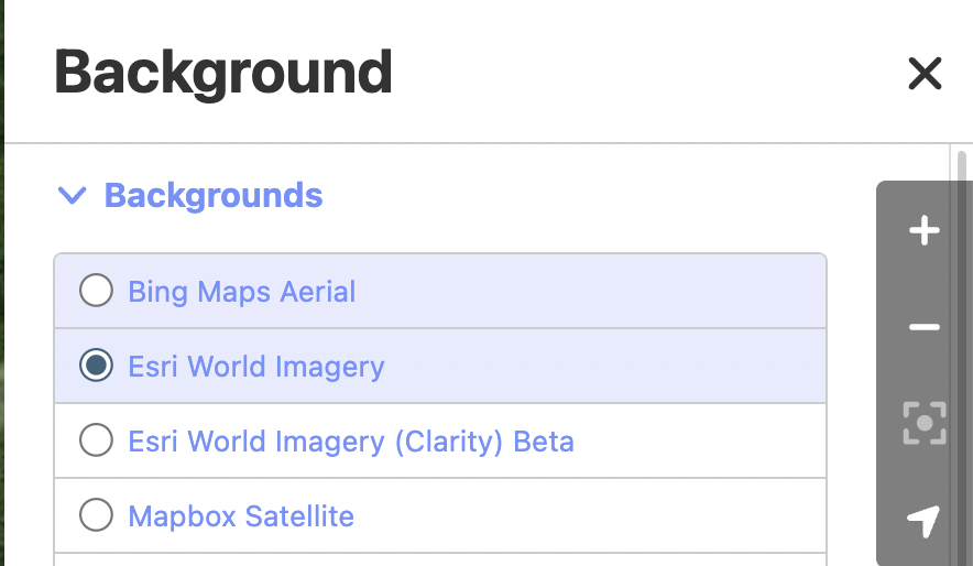
This year, the map of Thailand’s area, Quite a lot has changed. Especially new road networks that are beginning to open for service more

There will be additional new roads opening soon. But the satellite images used for reference It has not been updated to date. Please ask your friends to help find free satellite image sources. Please provide current information. Thank you in advance.

Sentinel-2 has very up-to-date satellite images. Perhaps the resolution is good enough to map the roads:
https://wiki.openstreetmap.org/wiki/Sentinel-2

Preview:

Hi @oum13928, welcome to the Thailand forum!

Have you tried using ESRI? It is quite up-to-date, at least in Chiang Mai.

Unfortunately, Maxar is no longer available, and Bing/Mapbox is quite outdated in Thailand, with often alignment issues.

To my knowledge, other options are limited. We are also restricted from using proprietary data such as Google Satellite.

You can also see if there are Photo Overlays available where the satellite images are missing roads:

1 Like