Taking a quick look at its changesets, they are made through iD, so I presumably discard an import.
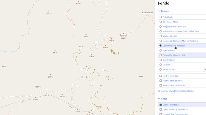
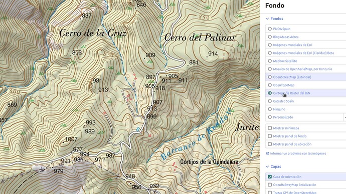
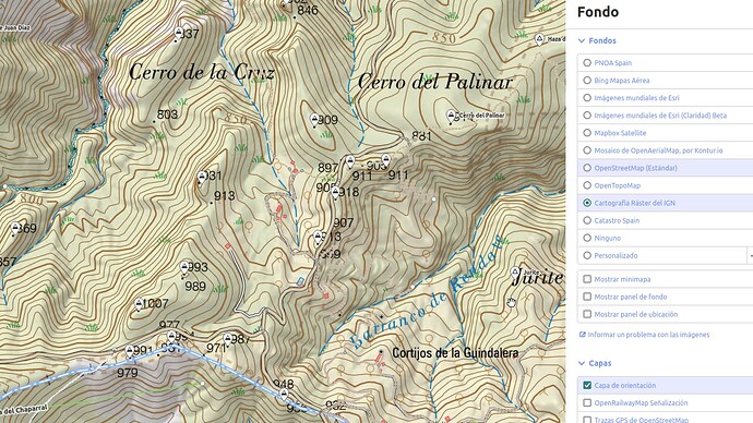
He’s clearly using the IGN raster map to include all these peaks, as you can see in the following pictures:
Notice he’s not adding at least the mountain passes as natural=peak (whose elevation is included in the IGN raster map also).
So I bet he’s doing this process manually, and that’s the reason to miss/wrong some features.


