Hello, everyone!
I have searched on the community forum but I couldn’t find any relevant results.
The issue is that, in many cases when editing features in OSM, I see bulding polygons and points with the same data.
Is it safe to “merge” this data, leaving just the polygon to display the general information about the bulding, and the points only in case there is certain information withing the building (for example, a business that does not encompass the entire area in place)?
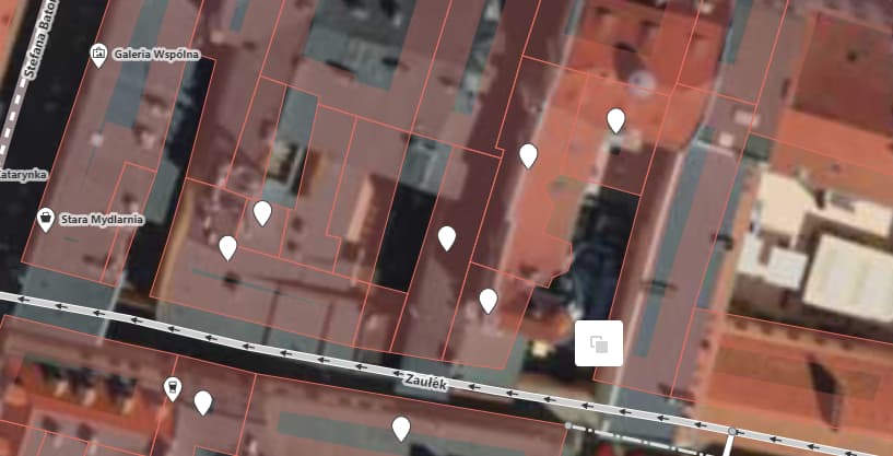
In this case, by deleting all these points -making sure their information is present in the polygons-, we would have a way less cluttered map without losing any information.