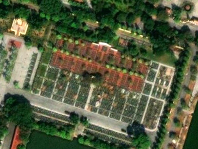
Thank you for your interest in and mapping of North Korea.
First, the grave in the location you described doesn’t seem to be a typical Korean grave.
To understand this, I think we need to understand a little bit about Korean(or East Asia) graves, so I’ll explain and add a summary later.
Let’s start with the traditional Korean grave.
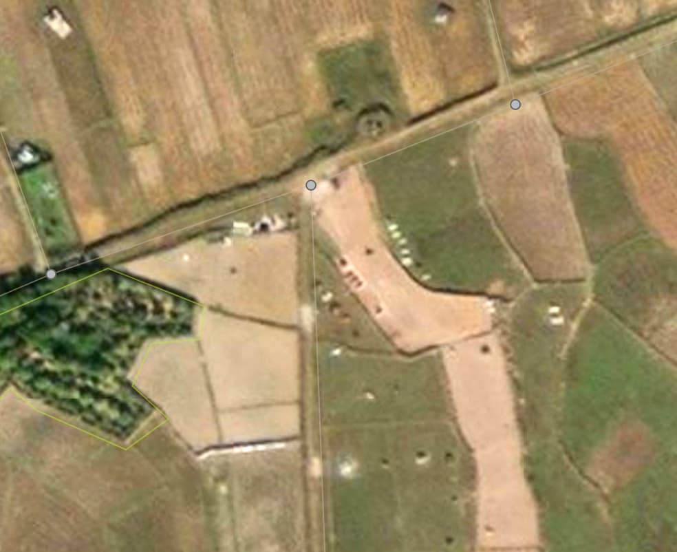
East Asian graves are easy to distinguish on satellite maps because they usually involve building a burial mound and tidying up the area around it.
This is why a single traditional East Asian tomb, no matter how small, has the appearance of taking up some area.(In Japan, it’s a little different than the traditional East Asian style.)
At least in Korea, it’s usually seen as desirable for couples to be buried together, so two burial mounds are formed in one place.
In other cases, a family may form a family graveyard in a similar location, although it is not a ‘grave-yard’, and even in these cases, they are never lined up because of the Korean hierarchical culture.
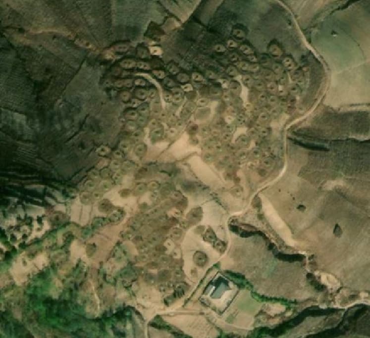
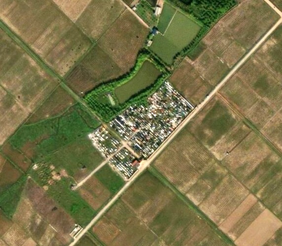
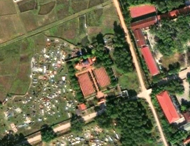
In the second example photo, if you look closely, you can see a band around the grave, and that’s one grave area. It also didn’t line up at all.
So even a cemetery area that looks like a ‘cemetery’ is not easy to tag with ‘landuse=cemetery’ because there are often other feature elements mixed in with it.
Traditionally, Korea doesn’t have a concept of a “graveyard” (I know East Asia is largely similar). Individual graves are usually built in good spots around rice fields or in the mountains, and sometimes clusters of graves that look like a “grave-yard” just happen to form in similar spots. (Even in these cases, it’s never the case that the graves are aligned in rows and columns, as it’s seen as a forced sequence).
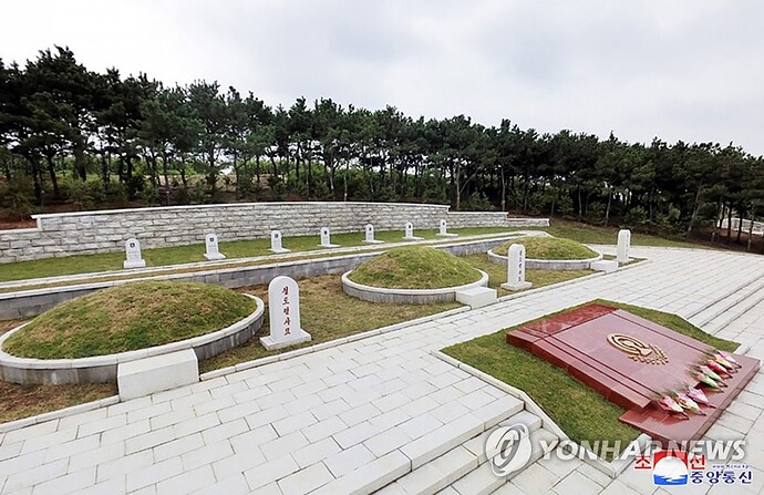
In modern times, with the introduction of the Western concept of cemeteries, we have the concept of a “grave-yard,” which is distinguished by its orderly appearance (and its shape is not that of a traditional burial mound).
Even in modern times, Eastern tombs with burial mounds are rarely lined up in rows, and if they are, they are most likely Western tombs.
Summary
- An Eastern tomb forms a territory, even if it’s very small anyway (but that doesn’t mean it can’t be represented by a node).
- Although it is the area of a grave, it is hard to call it a graveyard. (Sometimes the graves of a family form a graveyard.)
- Since Eastern graves are usually for couples buried side by side, two side-by-side burial mounds should also be treated as a single grave unit.
- When there are two or more graves that are not in rows and columns, they can be considered an “area” (when the graves of a family make up a graveyard).
- Occasionally, a single grave will occupy a fairly large area by itself, especially if it is the grave of an important person.
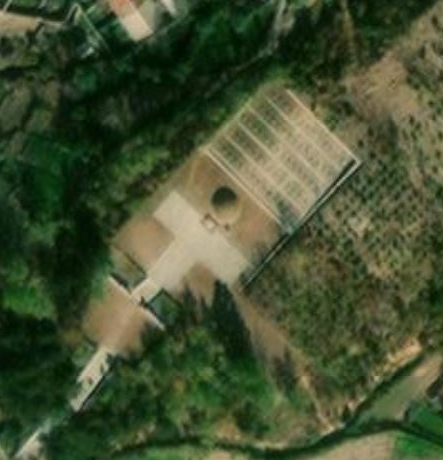
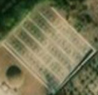
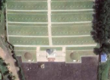
In the case of the tomb in your location, there is a fairly large mound in the front and a small structure in the back.
Based on the Korean tomb style described above, it seems that the front tomb is just a decoration, and the small structures behind are (western or modern style)tombstones.
When ancestral tablets of several people are collected together, they are sometimes used to create a mound with no body in the front, but only a shape. (or when the body cannot be properly recovered due to some unfortunate accident)
I also find it very confusing when mapping graves in Korea or East Asia because the concept of a grave is different from the Western concept.
For single graves, I borrow the ‘cemetery=grave’ tag, albeit in a different shape, but for family and household graves, there is some ambiguity.
I’m also confused by the fact that a group of graves is not exactly a territory. Well, of course, I’m making a rough compromise, …
Summarizing my opinion(based on the OSM tags now)
- In the first example image, the burial mound in the foreground is very ambiguous with the current tags.(You could use the cemetery=grave tag as it exists now, but that would obscure the structure in the back that appears to be a tombstone.)
- I’m not sure if I should compromise by only drawing the grave area in the first example image.
- I looked at European graves (landuse=cemetery), and they only draw the grave area and not the individual graves, so I think I can do that in this case.
- The second example image could be forced to be drawn as an “area” (landuse=cemetery), but then there would be a few graves that are far apart.
-
Conclusion: I think what you’ve mapped to OSM is the best tagging for now. Unless you develop new tags.
