Dear all,
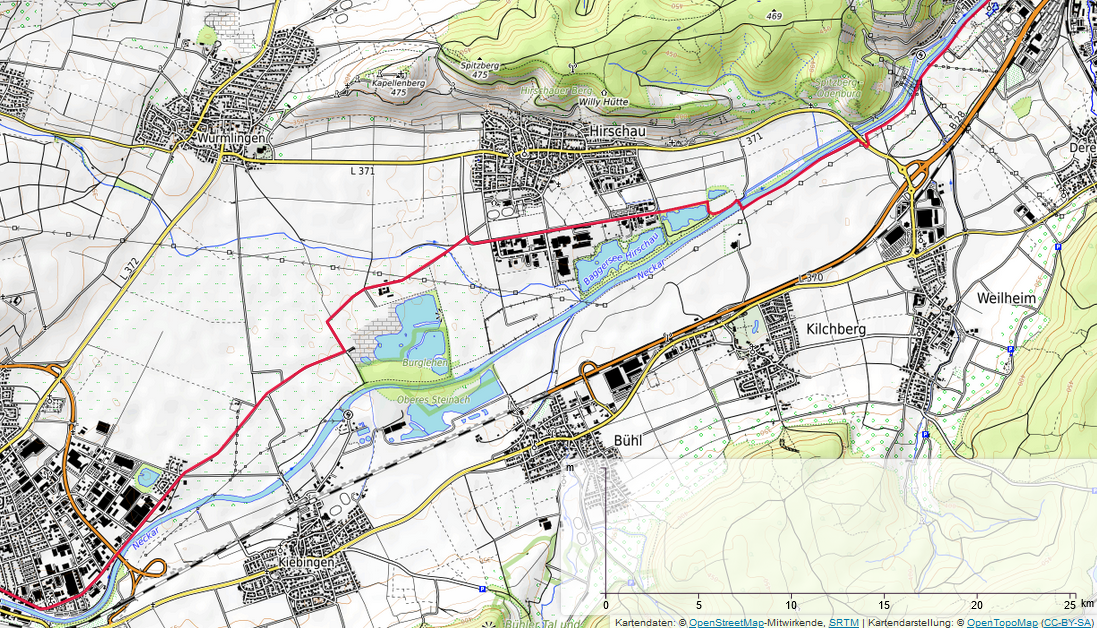
I have digitized a line and imported it into the OpenTopoMap GUI (https://opentopomap.org) with the GPX button. The line appears but there is no elevaiton information shown in the displayed chart. The chart displays a line when I move my mouse over the line, but it does not display any information data (NaN m).
I have tested different browsers (Firefox, Chrome) and line formats (gpx, kml, geojson).
Does anyone have an idea what might be wrong here?
Happy about any comment
Andreas