your project Openglobus looks very promising! i just started playing around with it.
What I currently miss:
Center view again (elevation + azimuth) with an icon like the zoom icons.
Markers with option to draw line to the ground, if they are in a certain height.
Layerswitcher and more tools for interaction already build in (like in Leaflet)
Zooming is somehow “slow”, especially on smartphone (should drop frames to keep timing if CPU is too slow)
But I am very pleased by Openglobus’ speed and feeling! Even on the smartphone zooming and changing elevation angle with two fingers is very intuitive.
hey @zemledelec your project is really great and freaking awesome
am really interested and want to know how could i could implement this in my small project pls can you help me with it am not able to embed the code into my webpage
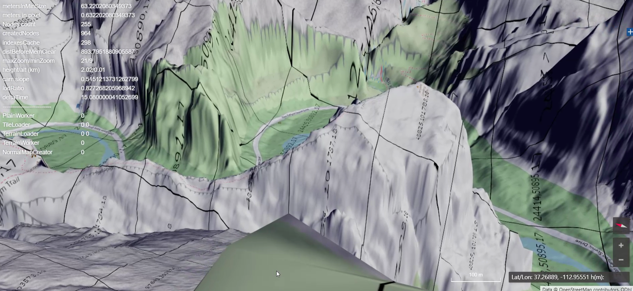
I’m here, sorry, couldn’t reply. og is alive, and currently I’m using openglobus for unmanned traffic management system and making a simple tutorial how to visualize precise elevation data with og.
1m resolution preview example.