[NL] Infrabel publiceert open data over de overwegen: referentienummer en beveiligingsgraad: halve/volledige slagbomen, lichten, of onbewaakt (al vindt Infrabel dat geen leuk woord). Nog niet alle overwegen in OSM hebben die informatie. De licentie vormt zeker geen probleem, het is CC0. Zetten we iets op om die informatie automatisch te importeren waar de overweg al toegevoegd is maar details nog ontbreken?
[FR] Infrabel publie des données ouvertes sur les passages à niveau : numéro de référence et niveau de sécurité : demi-barrières/barrières pleines, feux ou non gardés (bien qu’Infrabel n’aime pas ce terme). Ces informations ne sont pas encore ajoutés pour tous les PN dans OSM. La licence ne pose certainement pas de problème, elle est CC0. Faisons-nous quelque chose pour importer ces informations de façon automatique lorsque le PN existe déjà mais qu’il manque encore les détails ?
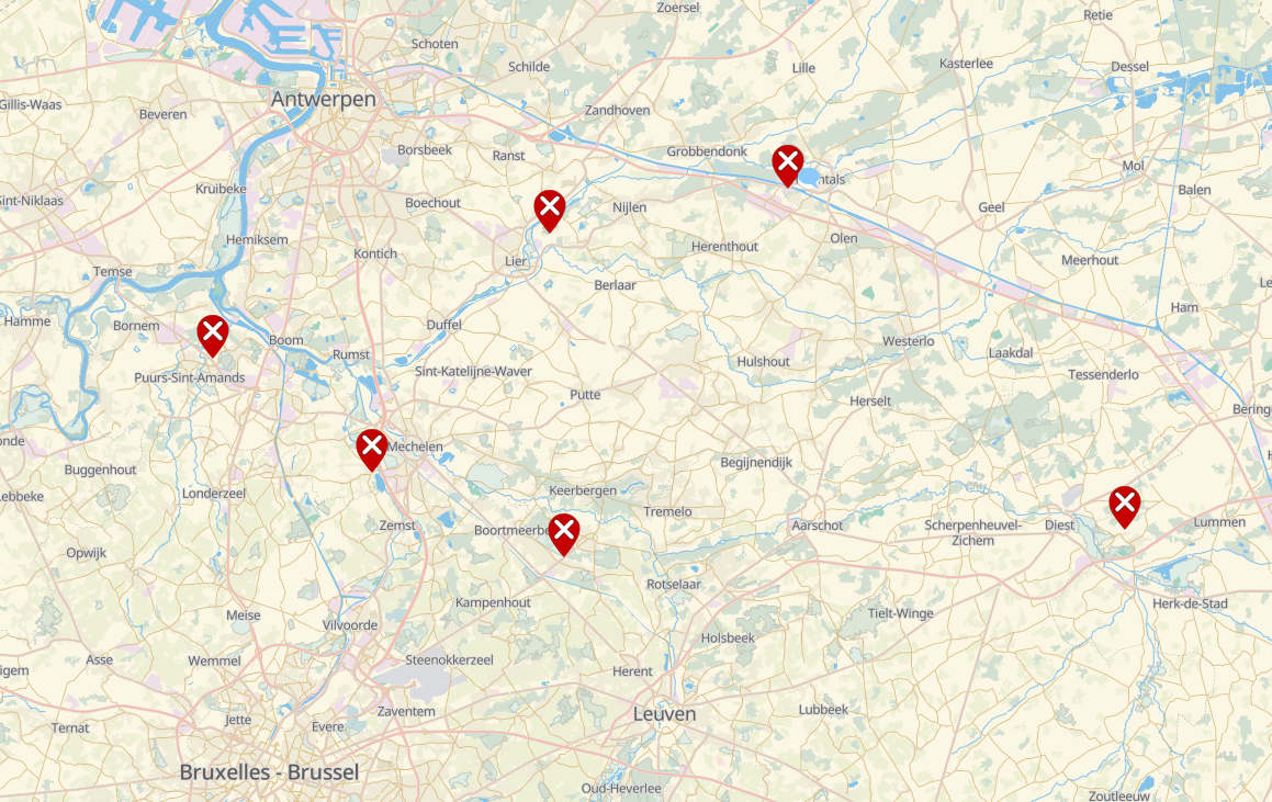
It would be good to gauge the quality of the NMBS data first, e.g. by comparing existing, detailed, recent information in OSM with the open data. If that turns out well, I would say go go go.
Yes, this does not count as a “public crossing” for Infrabel. Crossings on industrial lines or heritage lines aren’t in Infrabel’s data either. If you want an account of all level crossings, look to OSM, not Infrabel!
My script deals with this by looking at the parent ways (both rail and road).